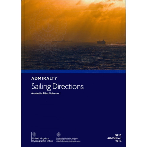




Trusted sailing directions for Australia’s northern and western waters, from Endeavour Strait to Cape Carnot. Includes port entry guidance and coastal navigation tips for safe voyages.
Data sheet
Specific References
Navigate Australia’s Coastal Waters with Confidence
Sailing Directions: Australia Vol. 1 is a vital navigational aid for merchant vessels operating along Australia’s expansive northern, northwestern, western, and southern coastlines. This publication provides detailed, up-to-date information on port entries, coastal navigation, and critical maritime features, ensuring safe and efficient voyages from the Endeavour Strait to Cape Carnot. Weighing 1.9 kg, this paper edition is designed for durability and ease of use on the bridge, making it an essential tool for professional mariners.
Comprehensive Data for Professional Mariners
This volume is part of a globally recognized series of 74 publications, each covering specific regions to support maritime navigation worldwide. It includes precise details on navigational hazards, recommended routes, and key landmarks, all tailored to the needs of commercial shipping. The 5th edition (2017) ensures that users have access to the most current and reliable data, with updates reflecting the latest maritime conditions and regulations.
Built for Reliability in Demanding Conditions
Designed to meet the rigorous demands of life at sea, this paper publication is a trusted resource for captains and navigators. Its robust format allows for quick reference in all weather conditions, ensuring critical information is always at hand. Whether navigating coastal waters or approaching ports, this volume provides the accuracy and detail required for safe and compliant maritime operations.
Sailing Directions: Australia Vol. 1 is a paper-based navigational publication in English, weighing 1.9 kg. It is part of a 74-volume series covering global maritime regions, with this edition published in 2017 and updated as recently as 2020. The publication provides detailed coverage of Australia’s northern, northwestern, western, and southern coasts, from the Endeavour Strait to Cape Carnot, including surrounding islands and reefs.
The publisher behind this navigational resource is a globally recognized authority in maritime safety and hydrography. With a legacy of providing accurate and reliable data, their publications are trusted by professional mariners worldwide. Their comprehensive series of sailing directions and nautical charts set the standard for international maritime navigation, ensuring compliance and safety across the world’s oceans.
This volume covers the northern, northwestern, western, and southern coasts of Australia, from the Endeavour Strait to Cape Carnot, including surrounding islands and reefs.
Yes, it is designed for merchant vessels of all classes, providing essential navigation details for safe passage.
The complete set consists of 76 volumes, covering global navigation areas.
The publication date listed for this edition is January 1, 2020.
Yes, it provides detailed information on port entries, along with coastal navigation advice.
The paperback edition weighs approximately 1.9 kilograms.
No, this publication is available only in English.
You might also like


























































![Admiralty - NP054 - Sailing directions: North Sea [West]](https://www.nautic-way.com/68595-home_default/admiralty-np054-sailing-directions-north-sea-west-maritime-bookshop-nautic-way.jpg)
![Admiralty - NP055 - Sailing directions: North Sea [East]](https://www.nautic-way.com/90871-home_default/admiralty-np055-sailing-directions-north-sea-east-maritime-bookshop-nautic-way.jpg)





































































































