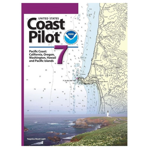



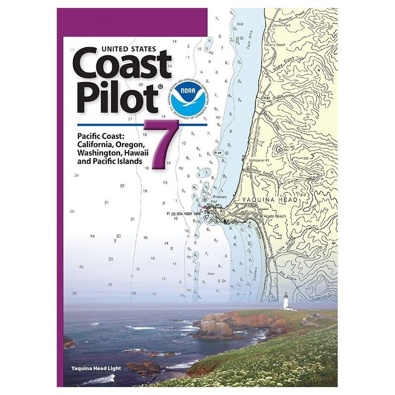
Your go-to resource for Pacific Coast sailing, covering California, Oregon, Washington, Hawaii, and Pacific Islands. Features hazards, tides, regulations, and port information for seamless navigation.
Data sheet
Specific References
Navigate the Pacific Coast with Confidence
The United States Coast Pilot 07 is the definitive navigation guide for mariners operating along the U.S. Pacific Coast, covering California, Oregon, Washington, Hawaii, and the Pacific Islands. This 2025 edition (57th) is an essential resource for commercial vessels, fishing fleets, and maritime professionals, offering critical data that complements nautical charts. With over 1.8 kg of verified information, it provides unparalleled detail on channels, anchorages, hazards, and federal regulations, ensuring safe and compliant navigation in one of the world’s busiest maritime regions.
Precision Data for Professional Mariners
This guide delivers more than just geographic coordinates—it includes dynamic information such as tidal patterns, current behavior, and seasonal weather conditions, which are impossible to represent on static charts. It also outlines traffic separation schemes, pilotage services, and port infrastructure, making it indispensable for route planning and operational decision-making. The 2025 edition reflects the latest hydrographic surveys and regulatory updates, ensuring compliance with current maritime standards.
Engineered for Real-World Navigation
Unlike generic sailing guides, this publication is tailored for commercial and industrial maritime operations. It provides detailed descriptions of bridge clearances, submerged hazards, and restricted zones, along with federal navigation regulations that govern vessel movement. The paperback format is designed for durability in marine environments, while its structured layout allows for quick reference during voyages. Whether navigating the complex waterways of Puget Sound or the remote islands of the Pacific, this guide equips mariners with the data needed to operate safely and efficiently.
The United States Coast Pilot 07 – Pacific Coast is a 2025 edition (57th) paperback guide published by the Office of Coast Survey. It covers the Pacific Coast of the U.S., including California, Oregon, Washington, Hawaii, and the Pacific Islands, with precise latitude and longitude references for key locations. Weighing 1.8 kg, this English-language guide provides verified data on channels, anchorages, hazards, tides, currents, and federal navigation regulations, ensuring compliance and safety for professional mariners.
For over two centuries, the Office of Coast Survey has been the authoritative source for nautical information in the United States. As the nation’s premier hydrographic agency, it provides mariners with accurate, up-to-date data to ensure safe and efficient navigation. Its publications, including the United States Coast Pilot® series, are trusted by commercial fleets, government agencies, and maritime professionals worldwide.
The 2025 (57th) edition weighs approximately 1.8 kg, making it portable for onboard use.
Yes, it provides detailed data on currents, tides, and water levels for safe coastal and inland navigation.
Yes, the book includes precise descriptions of bridge clearances, overhead cables, and other navigational hazards.
It covers the Pacific Coast, including California, Oregon, Washington, Hawaii, and U.S. Pacific Islands.
The 2025 edition reflects the most recent navigational data, regulations, and coastal changes available at publication.
Yes, it includes dedicated sections on facilities, routes, and regulations for small vessels.
Yes, it outlines applicable federal regulations to ensure compliance during coastal and inland voyages.
You might also like




























































![Admiralty - NP054 - Sailing directions: North Sea [West]](https://www.nautic-way.com/68595-home_default/admiralty-np054-sailing-directions-north-sea-west-maritime-bookshop-nautic-way.jpg)
![Admiralty - NP055 - Sailing directions: North Sea [East]](https://www.nautic-way.com/90871-home_default/admiralty-np055-sailing-directions-north-sea-east-maritime-bookshop-nautic-way.jpg)