



This authoritative guide covers South America’s northeastern coast, detailing hazards, ports, and weather from Cabo Orange to Rio de Janeiro. Includes diagrams and photos for safe navigation.
Data sheet
Specific References
Navigate South America’s Eastern Seaboard with Confidence
Sailing Directions: South America Vol. 1 is the definitive navigational reference for mariners traversing the northeastern and eastern coasts of South America. Covering critical maritime zones from Cabo Orange to Rio de Janeiro—including the strategically important Falkland Islands—this volume delivers unparalleled detail on coastal hazards, port infrastructure, and environmental conditions. Designed for professional use, it transforms complex hydrographic data into actionable insights, ensuring vessels operate safely and efficiently in one of the world’s busiest shipping corridors.
Engineered for Professional Maritime Operations
Weighing 1.35 kg, this paperback edition is built to endure the demands of onboard use, combining durability with practicality. The 19th edition (2017) reflects the latest hydrographic intelligence, offering mariners a reliable resource for route planning, pilotage, and compliance with local regulations. Its structured format allows for rapid consultation, while high-resolution diagrams and photographs provide visual confirmation of key landmarks and navigational challenges.
Comprehensive Coverage for High-Stakes Navigation
From seasonal currents to ice conditions, this volume addresses the full spectrum of factors influencing safe passage. It includes detailed descriptions of port facilities, aids to navigation, and climatic patterns, enabling crews to anticipate and adapt to dynamic maritime environments. By integrating this publication with official nautical charts, mariners gain a holistic understanding of the region’s complexities, reducing risks and enhancing operational decision-making.
Optimized for Global Commercial Shipping
As a cornerstone of maritime navigation, Sailing Directions: South America Vol. 1 supports the needs of merchant fleets, offshore operators, and naval vessels. Its precise geographic coverage—spanning latitudes from 11.75°N to 47.1°S and longitudes from 20°W to 70°W—ensures relevance across major trade routes. Whether navigating congested ports or remote coastal waters, this volume provides the clarity and depth required to maintain safety and efficiency in high-stakes maritime operations.
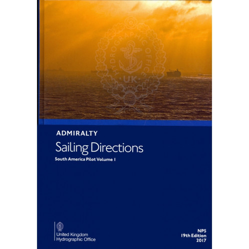
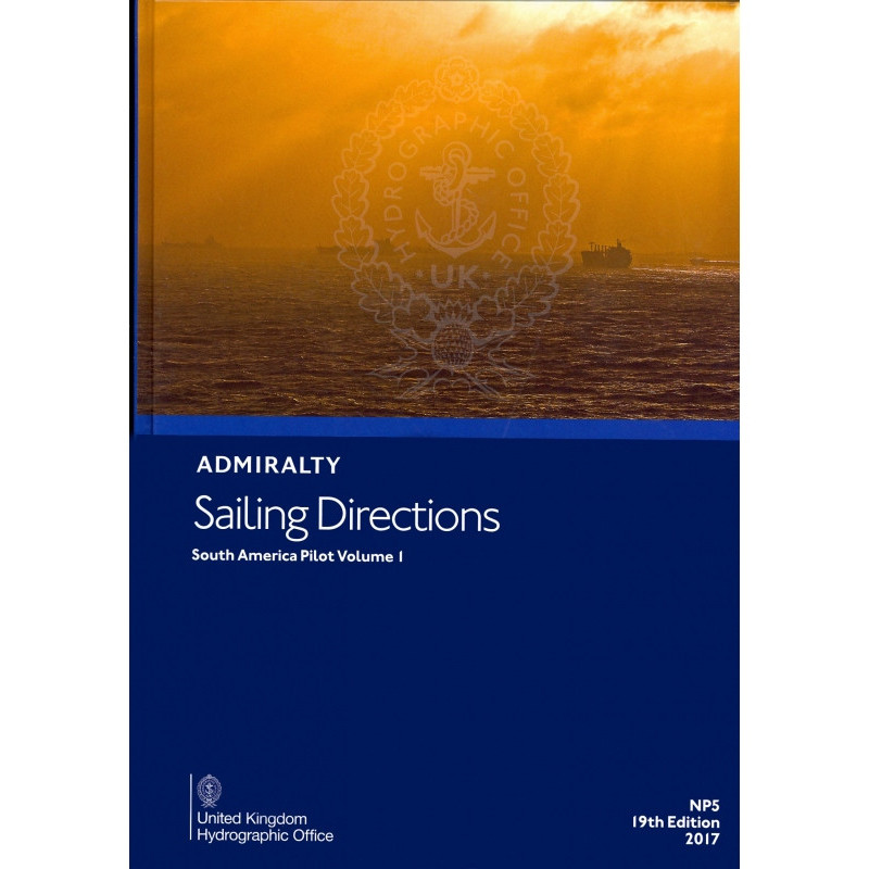
This paperback edition of Sailing Directions: South America Vol. 1 features a durable hardcover binding, ensuring longevity in onboard environments. Published in 2017 as the 19th edition, it spans 1.35 kg and covers the northeastern and eastern coasts of South America, from Cabo Orange to Cabo Tres Puntas, including the Falkland Islands. The volume is presented in English and includes high-resolution diagrams and photographs to support navigational planning.
For over two centuries, the publisher behind this navigational resource has set the global standard for hydrographic excellence. Renowned for its precision and reliability, it equips mariners with the tools needed to navigate the world’s most challenging waters safely. Its publications are trusted by commercial fleets, naval forces, and maritime authorities, ensuring compliance with international maritime regulations and best practices.
This publication covers the northeast and east coasts of South America, from Cabo Orange to Cabo Tres Puntas, including the Falkland Islands.
Yes, it provides details on seasonal currents, ice conditions, and climatic factors affecting navigation in the covered region.
Yes, it includes high-quality diagrams and photographs to enhance situational awareness during passage planning.
The printed version weighs 1.35 kg.
No, this edition is only available in English.
It features a hardcover binding for durability.
New editions are typically released every few years, with the 19th edition published in 2017 and the 20th edition in 2021.
You might also like




























































![Admiralty - NP054 - Sailing directions: North Sea [West]](https://www.nautic-way.com/68595-home_default/admiralty-np054-sailing-directions-north-sea-west-maritime-bookshop-nautic-way.jpg)
![Admiralty - NP055 - Sailing directions: North Sea [East]](https://www.nautic-way.com/90871-home_default/admiralty-np055-sailing-directions-north-sea-east-maritime-bookshop-nautic-way.jpg)