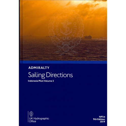




Ensure safe voyages along Java’s south and east coasts, the Bali Sea, and beyond. This nautical guide delivers critical details on ports, hazards, tides, and weather for precise navigation.
Data sheet
Specific References
Navigate Indonesia’s Critical Maritime Routes with Precision
Sailing Directions: Indonesia Vol. 2 is the definitive paper-based navigation aid for mariners operating in Indonesia’s southern and eastern waters, including Java’s southern and eastern coasts, the Bali Sea, and adjacent regions. This publication bridges the gap between official nautical charts and real-world operational needs, offering actionable intelligence for port entry, coastal transit, and hazard avoidance. With coverage spanning latitudes from 6.83°S to 4.17°N and longitudes from 104.55°E to 126°E, it addresses the unique challenges of one of the world’s busiest and most geographically complex maritime corridors.
Field-Tested Data for Commercial and Offshore Operations
Designed for the rigors of professional maritime use, this volume provides granular details on buoyage systems, pilotage protocols, and local regulations—critical for vessels navigating Indonesia’s high-traffic lanes. It includes seasonal data on currents, ice conditions, and climatic patterns, enabling crews to anticipate and adapt to environmental variables. High-quality diagrams and photographs offer visual confirmation of landmarks, approach channels, and potential hazards, reducing uncertainty during passage planning and execution. The 8th edition (2017) reflects the latest hydrographic surveys, ensuring alignment with contemporary maritime standards.
Built for Durability and Onboard Utility
Weighing 1.50 kg and bound in a robust hardcover format, this publication is engineered to withstand the demands of onboard use in commercial shipping, offshore support, and maritime logistics. Its structured layout—prioritizing clarity and accessibility—allows bridge teams to quickly locate critical information, from port facilities to tidal streams. As part of a global series of 74 to 76 volumes, it integrates seamlessly with official nautical charts, providing a cohesive and reliable reference system for safe and compliant navigation.
Sailing Directions: Indonesia Vol. 2 is a hardcover, English-language publication in its 8th edition (2017), weighing 1.50 kg. It covers Indonesia’s southern and eastern regions, including Java’s coasts and the Bali Sea, with precise geographic coordinates spanning latitudes from 6.83°S to 4.17°N and longitudes from 104.55°E to 126°E. Designed for professional maritime use, it features durable binding and high-resolution diagrams for operational clarity.
With over two centuries of expertise in hydrography and maritime safety, this publisher is a global leader in nautical publications. Its products are trusted by commercial fleets, naval forces, and offshore operators worldwide, offering unparalleled accuracy and reliability for navigation in complex waters. Regular updates and adherence to international standards ensure its resources remain essential for safe and efficient maritime operations.
This volume covers the southern and eastern coasts of Java, the Bali Sea, and other Indonesian regions as specified by the coordinates provided.
Yes, it provides detailed information on coastal navigation, including hazards, buoys, pilotage, and seasonal currents.
Yes, it includes high-quality diagrams and photographs to enhance situational awareness during passage planning.
The paperback edition weighs 1.50 kg.
Yes, it provides comprehensive information on port regulations, entry procedures, and available port facilities.
This is the 8th edition, published in 2017.
No, this edition is only available in English.
You might also like


























































![Admiralty - NP054 - Sailing directions: North Sea [West]](https://www.nautic-way.com/68595-home_default/admiralty-np054-sailing-directions-north-sea-west-maritime-bookshop-nautic-way.jpg)
![Admiralty - NP055 - Sailing directions: North Sea [East]](https://www.nautic-way.com/90871-home_default/admiralty-np055-sailing-directions-north-sea-east-maritime-bookshop-nautic-way.jpg)





































































































