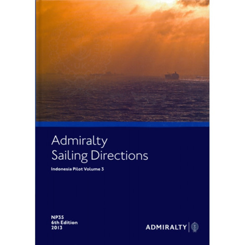




Ensure safe voyages in Indonesia with this detailed nautical guide. Covers Timor, Seram, Molucca, Banda, and Arafura Seas, offering port entry and coastal navigation insights for all vessels.
Data sheet
Specific References
Navigate Indonesia’s Waters with Confidence Using *Sailing Directions: Indonesia Vol. 3*
When precision and reliability are non-negotiable, *Sailing Directions: Indonesia Vol. 3* stands as the definitive nautical reference for mariners operating in one of the world’s most complex maritime environments. This paperback publication, weighing 1.9 kg, is engineered to deliver critical navigational insights for the eastern Indonesian archipelago, including the Timor Sea, Banda Sea, Molucca Sea, and Arafura Sea. Designed for professional use, it provides the detailed, up-to-date information needed to navigate safely through narrow straits, approach ports, and avoid hazards in these high-traffic and often challenging waters.
Comprehensive Coverage for Professional Mariners
This volume is tailored to meet the demands of commercial shipping, fishing fleets, and maritime authorities. It covers a vast area spanning from Timor Island and East Timor to Pulau Rote, the eastern Ceram Sea (encompassing Buru and Seram), and beyond. With its 7th edition (2017) and subsequent updates, the publication reflects the latest hydrographic data, ensuring that mariners have access to accurate information on depths, currents, navigational aids, and local regulations. Whether planning a voyage or making real-time decisions at sea, this guide provides the clarity and detail required to mitigate risks and optimize routes.
Built for Durability and Onboard Use
Constructed to endure the rigors of maritime environments, this paperback edition is both robust and practical. Its structured layout allows for quick reference, while detailed descriptions, charts, and visual aids enhance understanding. The publication is also available in digital format (e-NP), offering flexibility for integration into electronic navigation systems. By combining traditional reliability with modern accessibility, *Sailing Directions: Indonesia Vol. 3* ensures that mariners can rely on it whether they’re on the bridge or planning a voyage from shore.
A Trusted Resource for Safe and Efficient Navigation
For shipping companies, vessel operators, and maritime professionals, this publication is an essential component of safe and efficient operations. It supports compliance with international maritime standards while providing localized insights that are critical for navigating Indonesia’s unique waterways. By incorporating this guide into voyage planning and onboard procedures, mariners can enhance situational awareness, reduce operational risks, and ensure smooth port calls. Trusted by the global maritime community, *Sailing Directions: Indonesia Vol. 3* is the benchmark for accuracy and reliability in nautical publishing.
This nautical publication is a paperback edition, weighing 1.9 kg, and is presented in English. It covers critical maritime zones in eastern Indonesia, including the Timor Sea, Banda Sea, Molucca Sea, and Arafura Sea. The 7th edition (2017) provides detailed navigational guidance, port entry instructions, and hazard warnings, ensuring safe and efficient voyages for commercial and professional mariners. Available in both physical and digital (e-NP) formats, it is designed for durability and ease of use in demanding maritime environments.
With a legacy of excellence in hydrographic services, this publisher is recognized globally for providing accurate, reliable, and up-to-date nautical information. Their publications are trusted by maritime professionals, shipping companies, and naval authorities worldwide, ensuring safe and efficient navigation across the globe’s most critical waterways. Each edition is meticulously updated to reflect the latest hydrographic data, making their guides an indispensable resource for the maritime industry.
This volume covers the island of Timor, East Timor, Pulau Rote, eastern Ceram Sea (Buru, Seram), Molucca Sea, Banda Sea, and the Arafura Sea.
Yes, the content is available in both paper format and as an e-NP (digital version).
The paper version weighs 1.9 kg.
The latest edition available is the 8th edition from 2021, though the 7th edition from 2017 is also referenced.
Yes, the publication includes precise latitude and longitude coordinates for navigation in the covered regions.
Yes, it is designed to be suitable for all types of ships navigating the specified areas.
New editions are released periodically to ensure the information remains current and accurate for safe navigation.
You might also like


























































![Admiralty - NP054 - Sailing directions: North Sea [West]](https://www.nautic-way.com/68595-home_default/admiralty-np054-sailing-directions-north-sea-west-maritime-bookshop-nautic-way.jpg)
![Admiralty - NP055 - Sailing directions: North Sea [East]](https://www.nautic-way.com/90871-home_default/admiralty-np055-sailing-directions-north-sea-east-maritime-bookshop-nautic-way.jpg)