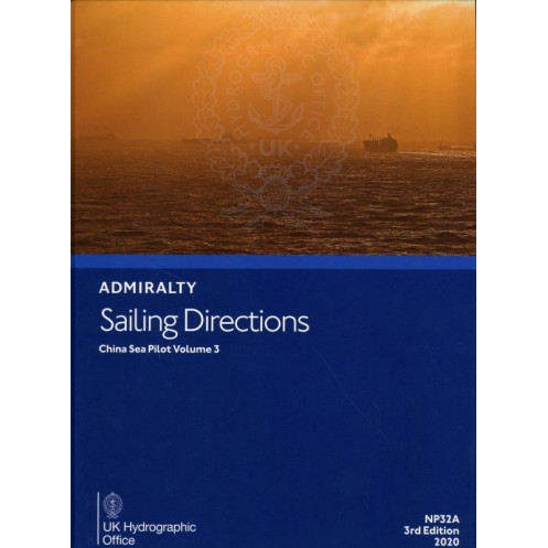




Navigate the China Sea with confidence using this detailed sailing guide. Covers key coastal areas, ports, and navigation aids from Zhelang Yan to western Korea, tailored for professional mariners.
Data sheet
Specific References
Navigate the China Sea with Unmatched Precision and Confidence
Sailing Directions: China Sea Vol. 3 is a cornerstone resource for merchant mariners, offering unparalleled guidance for navigating the intricate and heavily trafficked waters of the China Sea. This 5th edition (2024) publication is meticulously crafted to support safe and efficient operations, providing detailed coverage of coastal areas, port entries, and navigational hazards from Zhelang Yan to Yalu Jiang, including the northern coasts of Luzon and Taiwan, as well as the western shores of Korea. Weighing 1.9 kg and presented in a durable hardcover format, this 2020-authored volume is designed to endure the demanding conditions of life at sea while delivering critical information at a glance.
Comprehensive Data for Informed Decision-Making
This publication goes beyond standard nautical charts by offering a wealth of supplementary information tailored to the unique challenges of the China Sea. It includes detailed descriptions of aids to navigation, such as buoys, beacons, and lighthouses, along with insights into local maritime regulations, tidal patterns, and weather conditions. The volume is updated to reflect the latest hydrographic data, ensuring that mariners have access to the most current and accurate information available. Whether navigating congested shipping lanes or preparing for port entry, this resource empowers crews to make informed decisions that enhance safety and operational efficiency.
Built for Professional Mariners, Trusted by the Industry
Sailing Directions: China Sea Vol. 3 is engineered for use in professional maritime environments, where reliability and precision are non-negotiable. Its robust construction ensures durability, while its clear and concise presentation allows for quick and easy reference. As part of a globally recognized series of navigational publications, this volume upholds the highest standards of accuracy and trustworthiness, making it an indispensable tool for navigators who operate in one of the world’s most critical maritime regions.
This 5th edition (2024) publication is a hardcover volume weighing 1.9 kg, authored by leading experts in hydrography. It is designed for professional use in English and covers critical navigational data for the China Sea region, including latitudes ranging from 18°N to 33°N and longitudes from 115.5°E to 126°E. The durable format ensures longevity and ease of use in demanding maritime environments.
With a legacy spanning over two centuries, this series of navigational publications is developed by a world-renowned authority in hydrography and maritime safety. Trusted by commercial fleets, naval operations, and maritime professionals globally, these publications set the standard for accuracy, reliability, and comprehensive coverage in maritime navigation.
This volume covers the China Sea coastlines, including the coast of China from Zhelang Yan to Yalu Jiang (Amnok Kang), the northern coast of Luzon, the northern coasts of Taiwan, and the western coast of Korea.
Yes, it is designed for merchant navigators on all types of ocean-going vessels.
This edition is hardbound for durability and ease of use on board.
The publication weighs approximately 1.9 kilograms.
Yes, this is the 5th edition, published in 2024, ensuring the latest navigational information.
Yes, it provides detailed information on port entries, coastal navigation, and navigational aids.
The covered latitudes range from 18°N to 33°N, and longitudes range from 115.5°E to 126°E.
You might also like


























































![Admiralty - NP054 - Sailing directions: North Sea [West]](https://www.nautic-way.com/68595-home_default/admiralty-np054-sailing-directions-north-sea-west-maritime-bookshop-nautic-way.jpg)
![Admiralty - NP055 - Sailing directions: North Sea [East]](https://www.nautic-way.com/90871-home_default/admiralty-np055-sailing-directions-north-sea-east-maritime-bookshop-nautic-way.jpg)





































































































