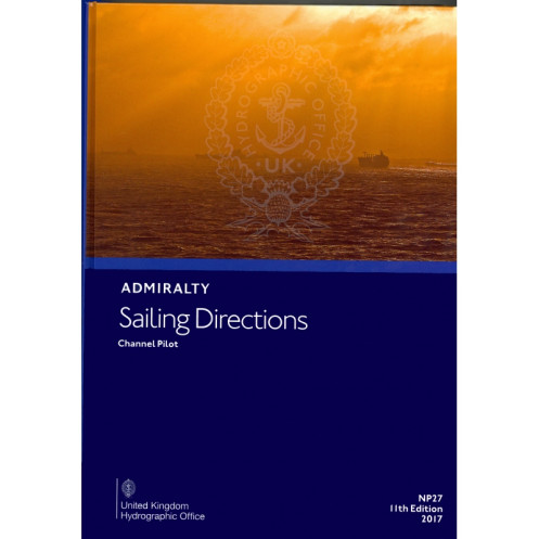




Navigate the English Channel confidently with this pilot guide. Covers the Scilly Isles, southern England, and northwest France, detailing hazards, buoys, ports, and weather for safe sailing.
Data sheet
Specific References
Navigate the English Channel with Unmatched Precision
The *Channel Pilot – Sailing Directions NP027* is the definitive navigational reference for mariners operating in the English Channel, one of the most challenging and strategically vital waterways in the world. This 14th edition (2023) delivers authoritative guidance for vessels transiting between the Isles of Scilly, the southern coast of England, and the northern coasts of France, ensuring safe passage through high-traffic zones, narrow straits, and complex port approaches.
Engineered for Professional Mariners
Weighing 1.9 kg, this hardcover publication is built to withstand the rigors of life on the bridge. Its durable binding and high-quality paper ensure longevity, even in demanding maritime environments. Written entirely in English, it serves as a universal resource for international crews, providing standardized terminology and clear, actionable instructions. The guide’s structured format allows for rapid consultation, making it an indispensable tool for time-sensitive decision-making.
Precision-Crafted for High-Stakes Navigation
Covering latitudes from 47.83°N to 51.33°N and longitudes from 5.5°W to 1.17°E, the *Channel Pilot* addresses every critical aspect of navigation in the region. It includes detailed descriptions of navigational hazards—such as submerged rocks, wrecks, and strong tidal streams—alongside buoyage systems, pilotage requirements, and local maritime regulations. Seasonal variations in currents, ice conditions, and weather patterns are meticulously documented, enabling crews to anticipate and mitigate risks before they arise.
Enhanced Situational Awareness Through Visual Aids
To complement its written instructions, the guide features high-resolution diagrams and photographs of key landmarks, port entrances, and hazardous areas. These visual references allow mariners to cross-check their position and surroundings with confidence, reducing the likelihood of misidentification or navigational errors. Whether planning a passage or executing a complex maneuver, these aids provide an additional layer of safety and clarity.
Optimized for Port Entry and Coastal Navigation
Port facilities, berthing arrangements, and logistical details are thoroughly outlined, ensuring vessels can plan stops efficiently. The guide also includes critical information on local services, such as fuel availability, repair facilities, and emergency contacts, streamlining operations for commercial and industrial vessels. By consolidating this data into a single, reliable source, the *Channel Pilot* eliminates the need for multiple references, saving time and reducing the risk of oversight.
The *Channel Pilot – Sailing Directions NP027* is a 14th edition (2023) paperback publication, weighing 1.9 kg. It covers the English Channel, including the Isles of Scilly, the southern coast of England from Cape Cornwall to Bognor Regis, and the northern coasts of France from Pointe de Penmarch to Cap d’Antifer. Written in English, this hardcover guide provides detailed navigational instructions, hazard warnings, buoyage systems, and port facility information, supported by high-quality diagrams and photographs.
With over two centuries of expertise, this publisher is a global leader in maritime navigation and hydrographic data. Renowned for its precision, reliability, and adherence to international standards, its publications are trusted by commercial fleets, naval forces, and maritime authorities worldwide. Each guide is meticulously updated to reflect the latest navigational challenges, ensuring mariners have access to the most accurate and actionable information available.
The guide covers the Isles of Scilly and the southern coast of England from Cape Cornwall to Bognor Regis, as well as the northwest and north coasts of France from Pointe de Penmarch to Cap d’Antifer.
Yes, it includes high-quality diagrams and photographs to enhance situational awareness during passage planning.
This edition features a hardcover binding for durability.
Yes, it provides details on seasonal currents, as well as ice and climatic conditions.
Absolutely, it offers essential information for port entry and coastal navigation, including hazards, buoys, and pilotage.
The guide weighs approximately 1.9 kg.
This is the 14th edition, published in 2023, ensuring up-to-date navigational information.
You might also like












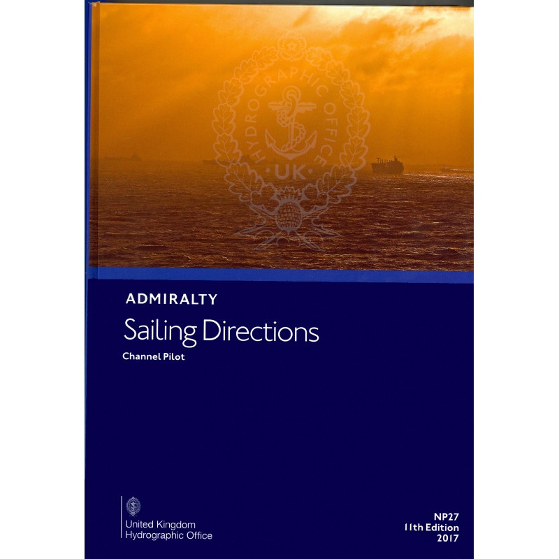















































![Admiralty - NP054 - Sailing directions: North Sea [West]](https://www.nautic-way.com/68595-home_default/admiralty-np054-sailing-directions-north-sea-west-maritime-bookshop-nautic-way.jpg)
![Admiralty - NP055 - Sailing directions: North Sea [East]](https://www.nautic-way.com/90871-home_default/admiralty-np055-sailing-directions-north-sea-east-maritime-bookshop-nautic-way.jpg)