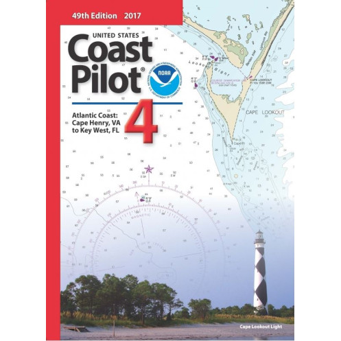




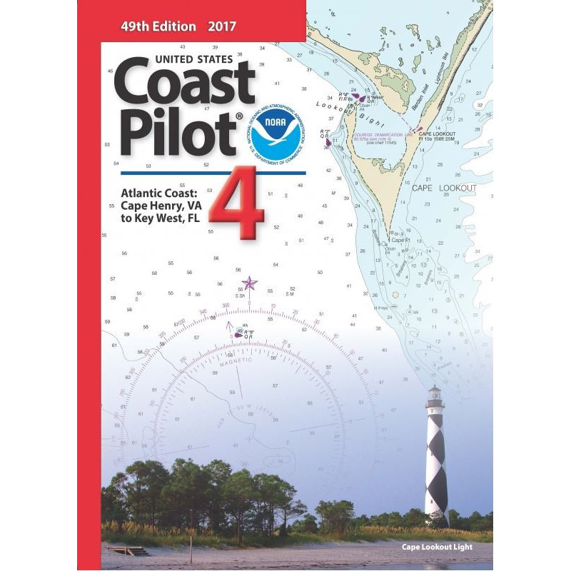
Atlantic Coast navigation guide from Cape Henry, VA to Key West, FL. Covers channels, tides, hazards, and regulations for safe and precise coastal voyages.
2024 edition.
Data sheet
Specific References
Navigate the Atlantic Coast with Precision and Confidence
The *United States Coast Pilot 04* is the definitive nautical reference for mariners operating along the Atlantic Coast, covering over 1,200 miles of waterways from Cape Henry, Virginia, to Key West, Florida. This paperback guide is an indispensable resource for commercial vessels, fishing fleets, and maritime professionals who require accurate, detailed, and up-to-date information to navigate safely and efficiently. With its 56th edition (2024) and regular updates, this publication ensures you have the latest data on critical navigation factors, including tides, currents, hazards, and federal regulations.
Comprehensive Coverage for Complex Coastal Waters
This guide provides an unparalleled level of detail for one of the most dynamic and heavily trafficked coastal regions in the U.S. It includes precise descriptions of channels, anchorages, and bridge clearances, as well as overhead cable heights that are often omitted from standard nautical charts. The publication also covers weather patterns, ice conditions, and traffic separation schemes, giving you the tools to anticipate challenges and plan your route with confidence. Whether you're navigating the busy ports of Norfolk, Charleston, or Miami, or transiting the intricate waterways of the Intracoastal Waterway, this guide delivers the insights you need to avoid hazards and optimize your voyage.
Engineered for Professional Mariners
Designed for use alongside official nautical charts, this guide bridges the gap between visual navigation and real-world conditions. It includes detailed information on pilotage and towing services, port facilities, and small boat access, ensuring you have a complete understanding of the resources available along your route. The publication also highlights federal regulations that impact maritime operations, helping you stay compliant with U.S. Coast Guard requirements. With a focus on accuracy and usability, this guide is a trusted companion for mariners who demand the highest standards of safety and operational efficiency.
Built for Durability and Reliability
Weighing 1.8 kg, this paperback edition is designed to withstand the rigors of life at sea. Its compact yet robust format makes it easy to store on the bridge or in a navigation station, ensuring it’s always within reach when you need it most. The guide’s clear, concise layout and professional-grade content make it an essential tool for any vessel operating along the Atlantic Coast. Whether you're a captain, navigator, or maritime professional, this publication provides the critical information you need to navigate with precision and confidence.
The *United States Coast Pilot 04* is a paperback nautical guide published in English, covering the Atlantic Coast from Cape Henry, VA, to Key West, FL. This 56th edition (2024) weighs 1.8 kg and is designed for professional use, providing detailed information on channels, tides, hazards, and federal regulations. It is updated regularly to ensure accuracy and is intended for use alongside official nautical charts.
For over a century, this organization has been the authoritative source for nautical publications in the United States, providing mariners with accurate, reliable, and up-to-date information for safe and efficient navigation. Their guides are trusted by commercial vessels, government agencies, and maritime professionals worldwide, ensuring compliance with federal regulations and enhancing operational safety along U.S. waterways.
The latest available edition is the 56th, published in 2024. The following edition (57th) is expected in 2025.
The book weighs approximately 1.8 kilograms.
Yes, it provides detailed information on tides, currents, and water levels for the covered region.
Yes, the guide includes precise details on bridge heights and cable clearances along the coast.
Yes, it includes specific information on facilities and routes for small boats.
The guide covers latitudes from approximately 24.17°N to 36.97°N and longitudes from approximately 82.38°W to 74.70°W.
The complete series consists of 9 volumes, each covering different coastal regions.
You might also like



























































![Admiralty - NP054 - Sailing directions: North Sea [West]](https://www.nautic-way.com/68595-home_default/admiralty-np054-sailing-directions-north-sea-west-maritime-bookshop-nautic-way.jpg)
![Admiralty - NP055 - Sailing directions: North Sea [East]](https://www.nautic-way.com/90871-home_default/admiralty-np055-sailing-directions-north-sea-east-maritime-bookshop-nautic-way.jpg)