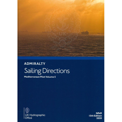




Navigate the Mediterranean with precision using Volume 5 of the essential Sailing Directions. Covers Libya, Egypt, Lebanon, Syria, southern Greece, Turkey, and Cyprus for safe coastal and port entry.
Data sheet
Specific References
Sailing Directions: Mediterranean Vol. 5 is a critical resource for mariners navigating the complex waters of the eastern Mediterranean. Designed to support safe and efficient passage planning, this volume delivers authoritative, up-to-date information for commercial vessels, yachts, and naval operations. Whether entering ports, transiting coastal waters, or preparing for offshore voyages, this publication ensures compliance with international maritime standards while enhancing situational awareness.
This volume provides detailed guidance for some of the Mediterranean’s most strategically important and challenging regions, including the coasts of Libya, Egypt, Lebanon, Syria, southern Greece (from Crete to Rhodes), Turkey, and Cyprus. These waters are frequented by commercial shipping, cruise liners, and military vessels, making accurate navigation data indispensable. The publication aligns with official ADMIRALTY charts, offering a seamless integration of hydrographic and operational intelligence.
Sailing Directions: Mediterranean Vol. 5 is engineered to meet the demands of professional mariners. It includes critical details on navigation hazards, buoyage systems, pilotage procedures, and local regulations. Port facilities, seasonal currents, ice conditions, and climatic patterns are meticulously documented to support voyage planning and risk assessment. High-quality diagrams and photographs further enhance clarity, allowing bridge crews to quickly interpret essential information during transit.
As part of a 76-volume series covering the world’s oceans, this publication upholds the highest standards of accuracy and reliability. It replaces and expands upon historical volumes, ensuring continuity for mariners who rely on consistent, authoritative references. Whether used in conjunction with electronic navigation systems or as a standalone resource, it remains an indispensable tool for safe and compliant maritime operations.
Navigate the Eastern Mediterranean with Confidence
Sailing Directions: Mediterranean Vol. 5 is the definitive paperback guide for mariners operating in one of the world’s most dynamic maritime regions. This 16th edition (2025) delivers unparalleled accuracy and depth, covering over 2,000 nautical miles of coastline across seven countries. From the bustling ports of Alexandria and Limassol to the intricate waterways of the Aegean and Levantine coasts, this volume provides the critical insights needed to navigate safely and efficiently.
Engineered for Professional Use
Weighing just 1.05 kg, this hardcover publication is built to withstand the rigors of life at sea while remaining a portable and reliable reference. It bridges the gap between traditional navigation and modern requirements, offering a tangible resource that complements electronic charting systems. With coverage spanning latitudes 30°N to 40°N and longitudes 11°E to 40°E, it ensures mariners have access to the most relevant and actionable data for their voyages.
Visual Clarity for Critical Decision-Making
Understanding the importance of quick and accurate interpretation, this volume includes high-resolution diagrams and photographs. These visual aids are strategically placed to highlight key navigation markers, port layouts, and potential hazards, enabling bridge crews to make informed decisions during passage planning and execution. The combination of written guidance and visual references reduces ambiguity and enhances operational safety.
Seamless Integration with ADMIRALTY Standards
Designed to work in tandem with official ADMIRALTY charts, this publication ensures consistency across all navigation resources. It adheres to international maritime conventions, providing mariners with a unified approach to voyage preparation. Whether navigating the Suez Canal approaches, the congested waters of the Turkish Straits, or the remote coastlines of Libya, this volume delivers the precision and reliability expected from a global standard.
Sailing Directions: Mediterranean Vol. 5 is a 16th edition (2025) paperback publication in English, weighing 1.05 kg. It covers the coasts of Libya, Egypt, Lebanon, Syria, southern Greece (Crete to Rhodes), Turkey, and Cyprus, with detailed navigation data including hazards, buoyage, pilotage, port facilities, and climatic conditions. The volume includes high-quality diagrams and photographs and is part of a 76-volume global series designed for use with official ADMIRALTY charts.
The publisher behind this publication is a globally recognized authority in hydrography and maritime navigation, trusted by commercial fleets, naval forces, and recreational mariners worldwide. With over two centuries of expertise, their publications set the benchmark for accuracy, reliability, and compliance with international maritime standards, ensuring safe and efficient navigation across the world’s oceans.
This volume covers the coasts of Libya, Egypt, Lebanon, Syria, the southern coasts of the Greek islands from Crete to Rhodes, Turkey, and the island of Cyprus.
Yes, it is available in both paperback and digital (e-NP) formats.
It includes high-quality diagrams and photographs to help bridge crews understand critical navigation information during passage planning.
This is the 16th edition, published in 2025, with data compiled up to 2020.
It provides information on navigation hazards, buoyage, pilotage, regulations, port facilities, seasonal currents, ice, and climatic conditions.
The complete series consists of 76 volumes covering global waters.
The paperback edition weighs 1.05 kg.
You might also like


























































![Admiralty - NP054 - Sailing directions: North Sea [West]](https://www.nautic-way.com/68595-home_default/admiralty-np054-sailing-directions-north-sea-west-maritime-bookshop-nautic-way.jpg)
![Admiralty - NP055 - Sailing directions: North Sea [East]](https://www.nautic-way.com/90871-home_default/admiralty-np055-sailing-directions-north-sea-east-maritime-bookshop-nautic-way.jpg)





































































































