



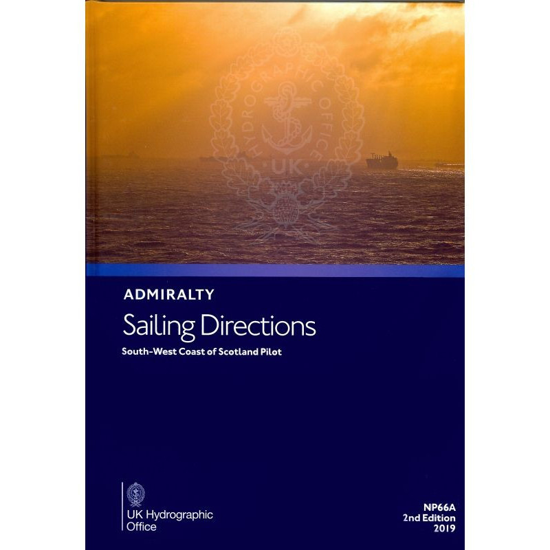
Ensure safer voyages along Scotland’s South West Coast with this detailed pilot guide. Covers hazards, buoys, regulations, and port facilities to enhance onboard decision-making for mariners.
Data sheet
Specific References
Navigate the challenging waters of Scotland’s southwest coast with confidence using this comprehensive pilot guide. Designed for merchant mariners, commercial vessel operators, and professional navigators, this publication delivers critical insights for safe and efficient coastal and port entry operations. Covering the region from the Mull of Galloway to the Point of Ardnamurchan—including surrounding islands—this guide is an indispensable resource for enhancing situational awareness on the bridge.
This pilot book provides in-depth coverage of navigation hazards, aids to navigation, pilotage procedures, and local regulations. It includes vital details on port facilities, seasonal currents, ice conditions, and weather patterns, ensuring mariners are prepared for the unique challenges of this coastal area. The guide is engineered to complement official nautical charts, offering a layered approach to maritime safety and operational efficiency.
Tailored for the demands of the maritime industry, this publication supports decision-making in high-stakes environments. Whether navigating narrow channels, assessing tidal influences, or planning port approaches, the guide equips professionals with the knowledge needed to mitigate risks and optimize voyages. Its structured format and precise data make it a reliable tool for daily operations in commercial shipping, fishing, and offshore industries.
With its latest 2023 edition, this pilot book reflects the most current hydrographic and navigational information available. Regular updates ensure that mariners have access to accurate data, including changes in aids to navigation, port infrastructure, and environmental conditions. The hardback format guarantees durability in demanding maritime environments, while the optional digital e-NP version offers flexibility for integrated navigation systems.
From the Mull of Galloway’s exposed shores to the intricate passages of the Inner Hebrides, this guide addresses the specific needs of mariners operating in Scotland’s southwest coastal waters. It combines technical rigor with practical insights, making it an essential companion for those responsible for vessel safety, cargo operations, and compliance with maritime regulations.
Navigate Scotland’s Southwest Coast with Confidence
This authoritative pilot guide is a must-have for mariners operating along the southwest coast of Scotland, offering unparalleled detail for safe and efficient navigation. Covering critical areas from the Mull of Galloway to the Point of Ardnamurchan, including surrounding islands, this publication provides essential data for commercial vessels, fishing fleets, and offshore operators. With its focus on professional maritime use, it delivers precise information to enhance decision-making on the bridge.
Comprehensive Coverage for Professional Mariners
Designed to support merchant mariners and commercial navigators, this guide includes detailed descriptions of navigation hazards, aids to navigation, and pilotage procedures. It also covers port facilities, seasonal currents, ice conditions, and weather patterns, ensuring operators are prepared for the region’s unique challenges. The 2023 edition reflects the latest hydrographic data, making it a reliable resource for modern maritime operations.
Built for Durability and Practical Use
Weighing 1.9 kg, this hardback edition is built to withstand the rigors of maritime environments, from the bridge to the chart table. Its robust construction ensures longevity, while the clear, structured layout allows for quick reference during critical operations. For added convenience, a digital e-NP version is also available, offering flexibility for integrated navigation systems.
Enhance Situational Awareness and Safety
This pilot guide is engineered to complement official nautical charts, providing an additional layer of safety for mariners. By offering detailed insights into local regulations, tidal influences, and environmental conditions, it helps operators mitigate risks and optimize voyages. Whether navigating narrow channels or planning port approaches, this publication is an indispensable tool for professional maritime use.
This pilot guide is a paperback edition in English, weighing 1.9 kg, and covers the southwest coast of Scotland from the Mull of Galloway to the Point of Ardnamurchan. The 2023 edition (3rd edition) features a hardback binding for durability and includes a digital e-NP version for integrated navigation systems. The publication provides precise geographic coverage with coordinates spanning latitudes 54.5°N to 56.44°N and longitudes 7.15°W to 3.1°W, ensuring comprehensive support for professional mariners.
With a legacy of excellence in maritime navigation, this publisher is a global leader in hydrographic data and nautical publications. Renowned for accuracy, reliability, and innovation, their products support commercial shipping, offshore industries, and professional mariners worldwide. Each publication is meticulously updated to reflect the latest navigational insights, ensuring safety and efficiency in even the most challenging waters.
The guide covers the southwest coast of Scotland, from the Mull of Galloway to the Point of Ardnamurchan, including nearby islands. It provides precise coordinates for navigation reference.
Yes, the guide includes detailed information on navigation hazards, such as underwater obstructions, tidal conditions, and other risks specific to the covered region.
Updates are released as needed to ensure accuracy, with the latest edition published in 2023. The digital version (e-NP) may receive more frequent updates.
The paper version is a hardback, designed for durability in marine environments.
Yes, it is designed to complement official charts and electronic navigation systems to enhance situational awareness on board.
The digital update (e-NP) has a file size of approximately 12 MB.
Yes, it provides details on seasonal climatic conditions, including wind patterns, storms, and other weather-related factors affecting navigation.
You might also like



























































![Admiralty - NP054 - Sailing directions: North Sea [West]](https://www.nautic-way.com/68595-home_default/admiralty-np054-sailing-directions-north-sea-west-maritime-bookshop-nautic-way.jpg)
![Admiralty - NP055 - Sailing directions: North Sea [East]](https://www.nautic-way.com/90871-home_default/admiralty-np055-sailing-directions-north-sea-east-maritime-bookshop-nautic-way.jpg)




































































































