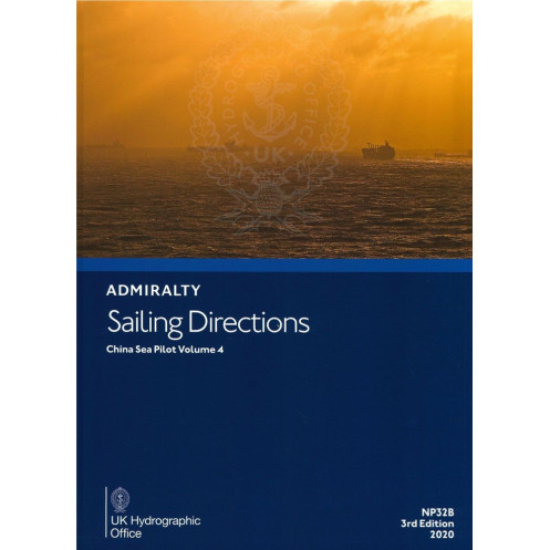




This sailing directions guide for China’s coast (Changjiangkou to Yalu Jiang) provides vital data on hazards, tides, ports, and weather. A must-have for precise and safe coastal navigation.
Data sheet
Specific References
Navigate China’s Eastern Seaboard with Confidence
Sailing Directions: China Sea Vol. 4 is an indispensable printed guide for mariners navigating the complex waters of China’s eastern and northeastern coastlines. This 4th edition (2022) delivers authoritative, up-to-date information for safe coastal and port navigation, covering critical areas from Changjiangkou Beijiao to Yalu Jiang and Amnok Kang. Weighing 1.9 kg, this hardbound publication is designed for durability and ease of use on the bridge, providing essential data for commercial vessels, cargo ships, and maritime fleets operating in high-traffic zones.
Precision-Crafted for Professional Mariners
Engineered for maritime professionals, this volume offers detailed insights into navigational hazards, buoyage systems, and pilotage requirements, ensuring vessels can safely transit one of the world’s busiest maritime regions. It includes comprehensive coverage of local regulations, port facilities, and seasonal environmental factors such as currents, ice conditions, and climatic patterns. The publication’s geographic scope spans latitudes 31.69°N to 41.5°N and longitudes 115.5°E to 127.5°E, encompassing key trade routes and strategic ports along China’s coast, northern Luzon, northern Taiwan, and the western Korean Peninsula.
Visual Tools for Enhanced Decision-Making
To support real-time navigation, Sailing Directions: China Sea Vol. 4 features high-quality diagrams and photographs that provide clear visual references for landmarks, port layouts, and coastal features. These aids improve situational awareness, allowing mariners to quickly identify critical waypoints, anchorage zones, and restricted areas. Whether planning a voyage or executing a port approach, these tools reduce the risk of misnavigation and enhance operational efficiency in challenging or unfamiliar waters.
Compliance and Operational Safety
As a trusted companion to official nautical charts, this publication ensures vessels meet international and regional regulatory standards. It includes essential compliance information, such as port entry procedures, local maritime laws, and environmental considerations, making it a vital resource for shipping companies, fleet operators, and maritime authorities. By integrating this guide into voyage planning and execution, mariners can maintain the highest levels of safety and efficiency in one of the world’s most strategically important maritime regions.
Sailing Directions: China Sea Vol. 4 is a hardbound printed publication, weighing 1.9 kg, designed for professional maritime use. This 4th edition (2022) covers the coastline from Changjiangkou Beijiao to Yalu Jiang and Amnok Kang, including northern Luzon, northern Taiwan, and the western Korean Peninsula. It provides detailed navigational data, including hazards, buoyage, pilotage, regulations, and environmental conditions, all supported by high-quality diagrams and photographs for enhanced situational awareness.
The United Kingdom Hydrographic Office is a globally recognized authority in maritime navigation, providing accurate and reliable hydrographic data to support safe and efficient voyages. With a legacy of excellence, their publications are trusted by mariners, shipping companies, and maritime authorities worldwide, ensuring compliance with international standards and enhancing operational safety in critical maritime regions.
This volume covers the Chinese coast from Changjiangkou Beijiao to Yalu Jiang and Amnok Kang, including the northern coast of Luzon, northern coasts of Taiwan, and the western coast of Korea.
Yes, the directions provide essential navigation information for coastal and port entry for all types of ships.
The publication includes high-quality diagrams and photographs to enhance situational awareness during voyage planning.
The update frequency varies, but this is the 4th edition published in 2022, ensuring the latest available information.
The book weighs 1.9 kg.
No, this edition is only available in English.
The coverage spans latitudes from 31.69°N to 41.5°N and longitudes from 115.5°E to 127.5°E.
You might also like



























































![Admiralty - NP054 - Sailing directions: North Sea [West]](https://www.nautic-way.com/68595-home_default/admiralty-np054-sailing-directions-north-sea-west-maritime-bookshop-nautic-way.jpg)
![Admiralty - NP055 - Sailing directions: North Sea [East]](https://www.nautic-way.com/90871-home_default/admiralty-np055-sailing-directions-north-sea-east-maritime-bookshop-nautic-way.jpg)




































































































