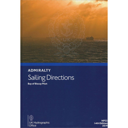




Essential for safe navigation in the Bay of Biscay, this guide covers hazards, markings, port facilities, and weather conditions. A must-have for merchant vessels, updated for 2024.
Data sheet
Specific References
Navigate the Bay of Biscay with Confidence Using NP022 Sailing Directions
The *Sailing Directions: Bay of Biscay NP022* is the definitive guide for merchant vessels operating in one of Europe’s most dynamic maritime zones. Covering the Bay of Biscay and its approaches—including the coastlines of France and Spain—this publication provides critical data to ensure safe, efficient, and compliant navigation. Updated in its 15th edition (2024), it reflects the latest hydrographic intelligence, making it an essential resource for captains, navigators, and shipping companies prioritizing operational excellence.
Precision-Engineered for Maritime Professionals
Weighing 1.9 kg, this paper edition is designed for durability and ease of use on the bridge. It delivers actionable insights on navigational hazards, buoyage systems, pilotage requirements, and port facilities, while also addressing environmental factors like seasonal currents, ice conditions, and weather patterns. The inclusion of high-resolution diagrams and photographs enhances visual reference, reducing ambiguity in high-stakes situations. With coverage spanning latitudes 43°N to 48.33°N and longitudes 20°W to 0°E, it offers comprehensive guidance for vessels of all classes, from container ships to bulk carriers.
Seamless Integration with Nautical Charts
As a companion to official nautical charts, the *Sailing Directions: Bay of Biscay NP022* fills critical gaps by providing contextual details that charts alone cannot convey. It includes up-to-date regulations, local traffic schemes, and port-specific procedures, ensuring compliance with international and regional maritime laws. Whether navigating congested shipping lanes or remote coastal areas, this guide empowers crews to make informed decisions, mitigate risks, and optimize voyage planning—all while maintaining the highest standards of safety and efficiency.
The *Sailing Directions: Bay of Biscay NP022* is a paper-based navigation guide weighing 1.9 kg, featuring the 15th edition (2024) in English. It covers the Bay of Biscay and adjacent coastlines, with geographic boundaries spanning latitudes 43°N to 48.33°N and longitudes 20°W to 0°E. Designed for professional maritime use, it includes detailed navigational data, port facilities, and environmental conditions, supported by high-quality diagrams and photographs.
For over two centuries, this publisher has set the global standard for hydrographic and maritime navigation data. Renowned for accuracy, reliability, and innovation, its publications are trusted by merchant fleets, naval forces, and maritime authorities worldwide. Each product undergoes rigorous updates to reflect the latest hydrographic surveys, ensuring compliance with international maritime regulations and delivering unparalleled precision for safe and efficient navigation.
These directions cover the Bay of Biscay and its approaches, including adjacent coastlines of France and Spain, with detailed navigation information for safe passage.
Yes, this is the 15th edition, published in 2024, ensuring the latest navigational data and safety information.
They are designed for merchant vessels of all classes, providing essential details for safe navigation and port entry.
Yes, they provide details on seasonal currents, as well as ice conditions and climatic factors affecting navigation.
Yes, the directions feature high-quality diagrams and photographs to enhance situational awareness on the bridge.
The printed version weighs approximately 1.9 kg.
No, this edition is available in English only.
You might also like


























































![Admiralty - NP054 - Sailing directions: North Sea [West]](https://www.nautic-way.com/68595-home_default/admiralty-np054-sailing-directions-north-sea-west-maritime-bookshop-nautic-way.jpg)
![Admiralty - NP055 - Sailing directions: North Sea [East]](https://www.nautic-way.com/90871-home_default/admiralty-np055-sailing-directions-north-sea-east-maritime-bookshop-nautic-way.jpg)





































































































