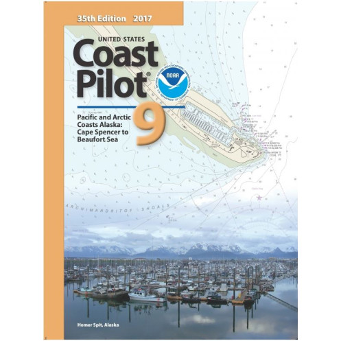




Navigate Alaska’s coasts with confidence. This guide covers Cape Spencer to the Beaufort Sea, offering key details on channels, hazards, weather, ice, and regulations for safe voyages.
Data sheet
Specific References
Navigate Alaska’s Most Remote Waters with Confidence
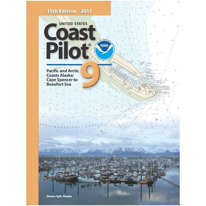
The *United States Coast Pilot 9* is the definitive navigation guide for mariners operating along Alaska’s Pacific and Arctic coastlines, from Cape Spencer to the Beaufort Sea. More than just a supplement to nautical charts, this volume provides the contextual intelligence needed to navigate safely in one of the most complex and hazardous maritime environments in the world. With coverage spanning over 1,500 miles of coastline, it delivers critical details on channels, anchorages, hazards, weather patterns, and federal regulations—all updated annually to reflect the latest conditions and survey data.
Built for Professional Mariners Who Demand Precision
Designed for commercial operators, fishing fleets, and maritime logistics teams, this guide is engineered to support decision-making in high-stakes scenarios. It includes in-depth descriptions of bridge clearances, cable heights, and tidal currents, ensuring vessels of all sizes can navigate safely. Seasonal ice conditions, storm tracks, and traffic separation schemes are clearly outlined, helping you plan routes that minimize risks and maximize efficiency. The 2025 edition (43rd in the series) incorporates the most recent hydrographic surveys, regulatory updates, and user-reported corrections, making it the most reliable resource for Alaska’s waters.
Practical, Durable, and Optimized for Real-World Use
Weighing just 1.8 kg and measuring 8.5 x 11 inches, this paperback edition is built to withstand the rigors of life at sea. Its sturdy binding and clear, concise layout ensure quick reference during critical moments, whether you’re plotting a course through the Bering Strait or anchoring in a remote Arctic harbor. The guide’s structured format—featuring headings, diagrams, and bullet-pointed warnings—prioritizes readability, allowing mariners to access vital information without delay. For those who operate in Alaska’s waters, this is not just a book; it’s an essential tool for safety, compliance, and operational success.
The *United States Coast Pilot 9* is a paperback navigation guide covering Alaska’s Pacific and Arctic coasts from Cape Spencer to the Beaufort Sea. Updated annually, the 2025 edition (43rd in the series) spans 8.5 x 11 inches, weighs 1.8 kg, and is published in English. It includes detailed data on channels, hazards, tides, ice conditions, and federal regulations, with coordinates spanning latitudes 49.9767°N to 72.2618°N and longitudes 173.1329°E to 136.7734°W.
For over a century, this series has set the standard for maritime navigation guides in U.S. waters. Produced by a federal agency dedicated to oceanic and atmospheric research, these volumes are trusted by commercial mariners, the U.S. Coast Guard, and international shipping fleets. Each edition undergoes rigorous review by hydrographers, pilots, and local experts to ensure accuracy, making it the gold standard for safe and compliant navigation.
This volume covers the Pacific and Arctic coasts of Alaska, specifically from Cape Spencer to the Beaufort Sea, including key navigation points and waterways in between.
Updates are released annually, with the latest edition typically published in August.
The printed version measures 8.5 x 11 inches and weighs approximately 1.8 kg.
Yes, it includes federal regulations applicable to navigation in the covered area, such as traffic separation schemes and local maritime laws.
Yes, it provides detailed information on ice conditions, including seasonal variations and hazards for navigation.
The printed edition features a paperback (broché) binding for durability and ease of use.
Yes, it includes precise measurements of bridge heights and cable clearances along the covered routes.
You might also like




























































![Admiralty - NP054 - Sailing directions: North Sea [West]](https://www.nautic-way.com/68595-home_default/admiralty-np054-sailing-directions-north-sea-west-maritime-bookshop-nautic-way.jpg)
![Admiralty - NP055 - Sailing directions: North Sea [East]](https://www.nautic-way.com/90871-home_default/admiralty-np055-sailing-directions-north-sea-east-maritime-bookshop-nautic-way.jpg)