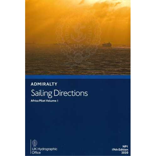




Essential nautical guide for safe navigation along West Africa’s coast, from Cape Spartel to the Bakassi Peninsula. Covers Madeira, Canary Islands, and Cape Verde. Updated 2020 edition.
Data sheet
Specific References
Navigate West Africa’s Coastal Waters with Confidence
Sailing Directions: Africa Vol. 1 is the definitive navigational companion for mariners operating along the western coast of Africa. This 19th edition (2020) publication provides an exhaustive compilation of hydrographic data, port information, and coastal navigation guidelines, ensuring vessels of all types can navigate safely and efficiently. Weighing 1.40 kg, this hardback volume is built to withstand the rigors of life at sea, offering durability without compromising on accessibility. Whether you're entering a busy commercial port or charting a course through remote coastal areas, this resource delivers the precision and reliability required for professional maritime operations.
Engineered for Professional Use in Challenging Environments
Designed for the unique demands of West African waters, this volume covers a vast geographic expanse, from the Archipelago of Madeira to the Bakassi Peninsula. It includes critical details on tides, currents, navigational hazards, and port facilities, all presented in a structured and easy-to-navigate format. The publication’s coverage spans latitudes 32°35.78’N to 4°04.32’N and longitudes 6°00.00’W to 8°38.00’E, providing unmatched geographic specificity for the region. With its focus on operational efficiency and safety, this volume is an essential tool for merchant ships, offshore vessels, and naval operations, helping crews mitigate risks and optimize voyage planning.
Trusted by Mariners Worldwide for Over a Century
As part of a series that includes 76 volumes, Sailing Directions: Africa Vol. 1 upholds a legacy of excellence in maritime navigation. This publication is the result of decades of hydrographic expertise, combining cutting-edge data with time-tested navigational practices. Its hardback binding ensures longevity, making it a reliable resource for years to come. For mariners who demand accuracy and depth of information, this volume is an indispensable addition to any vessel’s onboard library, providing the insights needed to navigate West Africa’s dynamic and often challenging coastal waters.
Sailing Directions: Africa Vol. 1 is a hardback publication weighing 1.40 kg, offering comprehensive coverage of West African coastal waters from the Archipelago of Madeira to the Bakassi Peninsula. This 19th edition (2020) is part of a 76-volume series and is published in English. It includes detailed hydrographic data, port information, and navigational guidelines tailored for professional maritime use.
With a heritage spanning over two centuries, this publisher is a global leader in hydrographic and maritime navigation solutions. Renowned for its precision, reliability, and adherence to international standards, its publications are trusted by mariners, shipping companies, and naval forces worldwide. Each volume is crafted to meet the rigorous demands of professional navigation, ensuring safety and efficiency in even the most challenging maritime environments.
This volume covers the Madeira Archipelago, Canary Islands, Cape Verde Archipelago, and the West African coast from Cape Spartel to the Bakassi Peninsula.
Yes, it is designed for use by all types of vessels navigating the covered regions.
New editions are released periodically, with this being the 19th edition published in 2020. Updates depend on navigational changes and new hydrographic data.
The latitude coverage ranges from 32°35.78'N to 4°04.32'N, and the longitude coverage spans from 6°00.00'W to 8°38.00'E.
No, this edition is only available in English.
The publication weighs 1.40 kg.
This publication features a hardback binding for durability.
You might also like


























































![Admiralty - NP054 - Sailing directions: North Sea [West]](https://www.nautic-way.com/68595-home_default/admiralty-np054-sailing-directions-north-sea-west-maritime-bookshop-nautic-way.jpg)
![Admiralty - NP055 - Sailing directions: North Sea [East]](https://www.nautic-way.com/90871-home_default/admiralty-np055-sailing-directions-north-sea-east-maritime-bookshop-nautic-way.jpg)





































































































