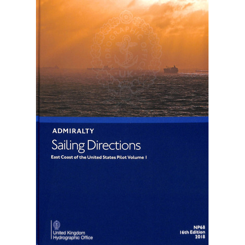




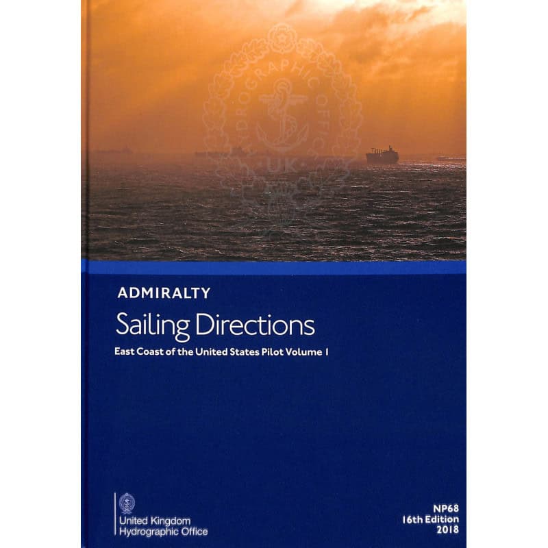
Essential nautical guide for navigating the U.S. East Coast from Great Wass Island to Barnegat Inlet. Packed with detailed port entry and coastal navigation insights for all vessels.
Data sheet
Specific References
Master the East Coast’s Most Critical Waterways with Precision Navigation Data
Sailing Directions: East Coast of the United States Vol. 1 is the definitive paperback guide for mariners navigating the complex coastal waters from Great Wass Island to Barnegat Inlet. This 15th edition (2016) delivers authoritative, field-tested intelligence for commercial shipping, naval operations, and maritime logistics, ensuring safe passage through high-traffic zones, narrow channels, and environmentally sensitive areas. Weighing 1.9 kg, this durable reference is engineered for onboard use, providing instant access to critical data without reliance on digital systems.
Engineered for Professional Mariners, Backed by Hydrographic Expertise
Developed by the world’s leading hydrographic authority, this volume offers unmatched accuracy in depth soundings, tidal data, and navigational hazards. It includes detailed port entry procedures, anchorage recommendations, and local maritime regulations, making it indispensable for pilots, captains, and navigation officers. The publication’s structured layout allows for rapid consultation during transit, while its comprehensive coverage reduces operational risks in both routine and high-stakes scenarios.
Built for Reliability in Real-World Maritime Conditions
Unlike digital alternatives, this paperback edition ensures uninterrupted access to vital navigation data, even in low-connectivity or high-stress environments. Its robust construction withstands the rigors of onboard use, while its clear, concise presentation minimizes interpretation errors. Whether navigating congested shipping lanes or remote coastal areas, this guide provides the verified intelligence needed to maintain compliance with SOLAS and other international maritime standards.
This 15th edition (2016) paperback sailing direction manual covers the East Coast of the United States from Great Wass Island to Barnegat Inlet, providing precise navigational data for professional mariners. Weighing 1.9 kg, it includes detailed port entry procedures, tidal patterns, and hazard warnings, all presented in a durable, field-ready format. Part of a 76-volume series, this publication ensures compliance with international maritime regulations while supporting safe and efficient navigation in high-traffic and challenging coastal zones.
For over two centuries, this hydrographic authority has set the global standard for maritime navigation data, trusted by commercial fleets, naval forces, and maritime agencies worldwide. Their publications, including this sailing direction manual, are developed using cutting-edge survey techniques and rigorous quality control, ensuring unmatched accuracy and reliability for professional mariners operating in critical waterways.
This volume covers the East Coast of the United States from Great Wass Island to Barnegat Inlet, including detailed coastal and port entry information.
Yes, the sailing directions provide detailed navigation information adapted for all types of ships, from small boats to larger vessels.
The paperback edition weighs approximately 1.9 kilograms.
Yes, in addition to the paper format, a digital version (e-NP) is also available.
This series consists of a total of 76 volumes covering various global navigation regions.
The latest known edition is the 17th edition from 2021, though the edition associated with this EAN is the 15th edition from 2016.
Yes, it includes precise latitude and longitude references for navigation, covering coordinates from approximately 39.75°N to 45°N and -72°W to -83°W.
You might also like




























































![Admiralty - NP054 - Sailing directions: North Sea [West]](https://www.nautic-way.com/68595-home_default/admiralty-np054-sailing-directions-north-sea-west-maritime-bookshop-nautic-way.jpg)
![Admiralty - NP055 - Sailing directions: North Sea [East]](https://www.nautic-way.com/90871-home_default/admiralty-np055-sailing-directions-north-sea-east-maritime-bookshop-nautic-way.jpg)