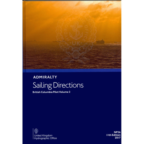




Navigate British Columbia’s waters with confidence using this detailed guide for Cape Caution to Portland Inlet. Features hazards, tides, port facilities, and climate insights for safer voyages.
Data sheet
Specific References
Navigate British Columbia’s Coastal Waters with Confidence
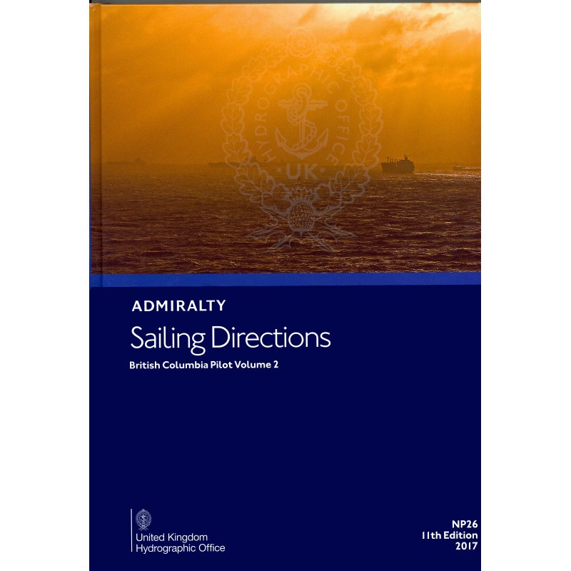
Sailing Directions: British Columbia Volume 2 is the definitive navigation guide for commercial vessels operating along Canada’s Pacific Northwest coast. This 11th edition paperback provides mariners with the critical intelligence needed to safely transit the waters from Cape Caution to Portland Inlet, including the challenging Queen Charlotte Sound and the remote Queen Charlotte Islands. Weighing just 1.9 kg, this lightweight yet comprehensive guide is designed to withstand the rigors of onboard use while delivering essential navigation data.
Precision Navigation for Complex Waterways
Covering latitudes 51.17°N to 57°N and longitudes -140°W to -120°W, this guide offers unparalleled detail on the region’s navigational challenges. From shifting sandbars to seasonal ice conditions, mariners gain access to the most current information on hazards, buoyage systems, and pilotage requirements. High-resolution diagrams and photographs provide visual confirmation of key landmarks, enhancing situational awareness in areas where precise navigation is critical to safety.
Operational Intelligence for Commercial Vessels
Beyond basic navigation, this guide delivers practical operational intelligence for commercial shipping. Port facilities, customs procedures, and local maritime regulations are clearly outlined, ensuring compliance with Canadian authorities. Seasonal weather patterns, tidal currents, and ice conditions are documented with precision, allowing ship operators to optimize voyage planning and minimize risks in these high-traffic waters.
Trusted Resource for Maritime Professionals
Published in 2017, this 11th edition maintains the rigorous standards that professional mariners rely on. The watermarked, lightweight paper ensures durability while reducing bulk onboard. Whether navigating the Inside Passage or approaching the ports of Prince Rupert or Kitimat, this guide provides the authoritative reference needed for safe and efficient operations in British Columbia’s coastal waters.
Sailing Directions: British Columbia Volume 2 is an 11th edition paperback guide published in 2017, weighing 1.9 kg. This English-language navigation reference covers the coastal region from Cape Caution to Portland Inlet, spanning latitudes 51.17°N to 57°N and longitudes -140°W to -120°W. Printed on durable, watermarked lightweight paper, it provides essential navigation data for commercial vessels operating in these waters.
For over two centuries, this organization has set the global standard for maritime navigation data. Their publications are developed by maritime experts using the most current hydrographic surveys and operational intelligence. Trusted by navies, commercial fleets, and maritime authorities worldwide, their guides are recognized as the authoritative reference for safe navigation in international waters.
This volume covers the coast of British Columbia from Cape Caution to Portland Inlet, including Queen Charlotte Sound, the Queen Charlotte Islands, and from Sitklan Islands to Cape Fox in Alaska.
Yes, it includes high-quality diagrams and photographs to enhance situational awareness and support safe navigation.
The publication uses lightweight chart paper with a UKHO watermark for durability and ease of use.
This is the 11th edition, published in 2017. Updates are released periodically to ensure accuracy and relevance.
It provides information on hazards such as underwater obstacles, restricted areas, and other potential risks to safe navigation.
Yes, it details seasonal currents, as well as ice conditions and climatic factors that may impact navigation.
Yes, it is designed to support both commercial and coastal navigation with comprehensive and precise information.
You might also like


























































![Admiralty - NP054 - Sailing directions: North Sea [West]](https://www.nautic-way.com/68595-home_default/admiralty-np054-sailing-directions-north-sea-west-maritime-bookshop-nautic-way.jpg)
![Admiralty - NP055 - Sailing directions: North Sea [East]](https://www.nautic-way.com/90871-home_default/admiralty-np055-sailing-directions-north-sea-east-maritime-bookshop-nautic-way.jpg)





































































































