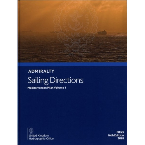




This authoritative Mediterranean sailing guide covers Spain, the Balearics, North Africa, and Malta. It includes critical data on hazards, weather, ports, and regulations for safe navigation.
Data sheet
Specific References
Sailing Directions: Mediterranean Vol. 1 is an indispensable paper publication designed for commercial and recreational mariners navigating the western Mediterranean. This authoritative guide delivers critical navigation data, ensuring safe and efficient voyages from Gibraltar to Cap Cerbère, including the Balearic Islands, the North African coast from Melilla to Tunis, and Malta. Engineered to complement standard nautical charts, this volume provides a wealth of practical information tailored to the needs of professional seafarers.
This publication offers an in-depth analysis of key navigation aspects, including hazards, aids to navigation, meteorological conditions, pilotage procedures, and local regulations. It also features detailed port facilities information, full-color photographic views, and step-by-step port entry guides. Whether navigating busy shipping lanes or intricate coastal waters, mariners rely on this guide for accurate, up-to-date insights that enhance situational awareness and operational safety.
Sailing Directions: Mediterranean Vol. 1 is a cornerstone reference for the maritime industry, particularly for commercial shipping professionals. Its structured format and precise data support compliance with international maritime standards, making it an essential tool for vessel operators, navigators, and fleet managers. The 2014 15th edition remains a benchmark for navigational planning, offering unparalleled reliability in one of the world’s most trafficked maritime regions.
Part of a 74-volume global series, this publication upholds the highest standards in maritime documentation. Its paper format ensures accessibility in all conditions, providing a durable and dependable resource for onboard use. For mariners requiring consistent, high-quality navigational data, this guide is an invaluable asset for safe and efficient passage planning in the Mediterranean.
Essential Nautical Reference for Mediterranean Waters
Sailing Directions: Mediterranean Vol. 1 is a critical resource for mariners navigating the western Mediterranean, covering high-traffic routes from Gibraltar to Cap Cerbère, the Balearic Islands, North Africa’s coast from Melilla to Tunis, and Malta. Designed for commercial shipping and recreational boating, this paper publication provides comprehensive navigational data to support safe and efficient voyages in one of the world’s busiest maritime regions.
Precision Navigation Data for Professional Use
This guide delivers detailed information on hazards, aids to navigation, meteorological conditions, pilotage procedures, and local maritime regulations. It includes port facility descriptions, full-color photographic views, and step-by-step port entry instructions, ensuring mariners have the insights needed for confident decision-making. Weighing 1.9 kg, this 2014 15th edition is built to withstand onboard conditions while providing reliable, up-to-date data.
Trusted by the Maritime Industry
As part of a 74-volume global series, Sailing Directions: Mediterranean Vol. 1 adheres to the highest standards in nautical documentation. Its paper format ensures durability and accessibility, making it a dependable tool for vessel operators, navigators, and fleet managers. Whether for route planning or real-time navigation, this publication is an indispensable asset for professionals requiring accurate and actionable maritime intelligence.
Sailing Directions: Mediterranean Vol. 1 is a paper-based nautical publication in English, weighing 1.9 kg. The 2014 15th edition covers the western Mediterranean, including Spain’s eastern coast, the Balearic Islands, North Africa from Melilla to Tunis, and Malta. Published in 2021, this guide provides essential navigation data for commercial and recreational mariners, ensuring compliance with maritime standards.
The publisher behind this nautical reference is a globally recognized authority in maritime navigation, known for producing high-quality hydrographic data and publications. With a legacy of supporting safe and efficient maritime operations, their resources are trusted by commercial fleets, naval forces, and recreational mariners worldwide, setting the standard for navigational excellence.
This volume covers the Spanish coast from Gibraltar to Cape Cerbère, the Balearic Islands, the North African coast from Melilla to Tunis, and Malta.
Yes, it is designed for use in both merchant and recreational navigation.
It provides information on navigation hazards, aids to navigation, meteorology, pilotage, regulations, port facilities, color photographic views, and port entry guides.
New editions are typically released periodically, with this specific edition published in 2014 as the 15th edition.
The paper version weighs 1.9 kilograms.
Yes, it includes color photographic views to assist with navigation.
The current edition was published in 2021.
You might also like


























































![Admiralty - NP054 - Sailing directions: North Sea [West]](https://www.nautic-way.com/68595-home_default/admiralty-np054-sailing-directions-north-sea-west-maritime-bookshop-nautic-way.jpg)
![Admiralty - NP055 - Sailing directions: North Sea [East]](https://www.nautic-way.com/90871-home_default/admiralty-np055-sailing-directions-north-sea-east-maritime-bookshop-nautic-way.jpg)