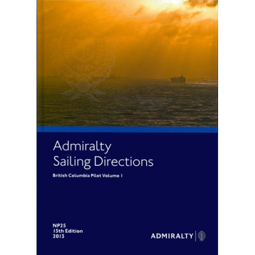




Navigate British Columbia’s waters with confidence. This guide covers hazards, tides, weather, and port facilities, providing mariners with reliable data for safe and efficient coastal voyages.
Data sheet
Specific References
Navigate British Columbia’s Coastal Waters with Unmatched Precision
When every mile counts, *Sailing Directions: British Columbia Vol. 1* is the definitive resource for mariners seeking reliable, detailed guidance along one of North America’s most complex coastlines. Weighing 1.59 kg, this 17th edition (2019) publication is meticulously crafted to support vessels of all classes, from commercial freighters to private yachts. Updated with the latest navigation data as of 2017, it ensures you have the most accurate information at your fingertips, whether you’re entering a busy port or charting a course through remote waters.
Engineered for Maritime Professionals
This paper version publication is designed for durability and ease of use in demanding maritime environments. Its clear, structured format allows for quick reference, while its comprehensive coverage—from latitude 47°N to 51.25°N and longitude 120°W to 140°W—ensures no critical detail is overlooked. Whether you’re navigating the Strait of Georgia, the Inside Passage, or the open waters of the Pacific, this volume provides the insights needed to avoid hazards, comply with regulations, and optimize your route.
Seamless Integration with Nautical Charts
While nautical charts offer the visual framework for navigation, *Sailing Directions: British Columbia Vol. 1* delivers the narrative depth that brings those charts to life. It complements official charts by providing contextual details on local conditions, seasonal variations, and port-specific protocols. This synergy between charts and sailing directions ensures a holistic approach to navigation, reducing risks and enhancing operational efficiency for vessels of all sizes.
Built for the Demands of Modern Maritime Operations
In an industry where precision and reliability are non-negotiable, this publication stands as a trusted ally. Its rigorous update process and adherence to international standards make it a cornerstone resource for commercial shipping, fishing fleets, and government vessels. With global coverage spanning 74 to 76 volumes, this series is the go-to reference for mariners who refuse to compromise on safety or efficiency.
This 17th edition (2019) paper publication weighs 1.59 kg and covers British Columbia’s coastal waters from latitude 47°N to 51.25°N and longitude 120°W to 140°W. Updated as of 2017, it provides detailed navigation guidance, including hazards, aids to navigation, port facilities, and environmental conditions. Available in both print and digital (e-NP) formats, it is designed for professional use and complements official nautical charts.
With over two centuries of expertise in maritime navigation, this brand is the global benchmark for nautical publications. Its comprehensive range of charts, sailing directions, and digital solutions supports safe and efficient navigation for commercial, governmental, and recreational vessels worldwide. Recognized for accuracy, reliability, and innovation, its publications are trusted by mariners across the globe to navigate with confidence.
This volume covers the coastal navigation and port entries along British Columbia, specifically between latitudes 47°N to 51.25°N and longitudes 120°W to 140°W.
Yes, it is available in both paper and digital formats (e-NP).
The latest edition is the 17th edition, published in 2019.
Yes, it provides details on seasonal currents, as well as ice conditions and climatic information.
The paper version weighs 1.59 kg.
Updates are typically released as needed, but no specific supplements are listed for this edition. Always check for the latest notices to mariners.
Yes, it includes port entry regulations, pilotage information, and navigational hazards.
You might also like



























































![Admiralty - NP054 - Sailing directions: North Sea [West]](https://www.nautic-way.com/68595-home_default/admiralty-np054-sailing-directions-north-sea-west-maritime-bookshop-nautic-way.jpg)
![Admiralty - NP055 - Sailing directions: North Sea [East]](https://www.nautic-way.com/90871-home_default/admiralty-np055-sailing-directions-north-sea-east-maritime-bookshop-nautic-way.jpg)




































































































