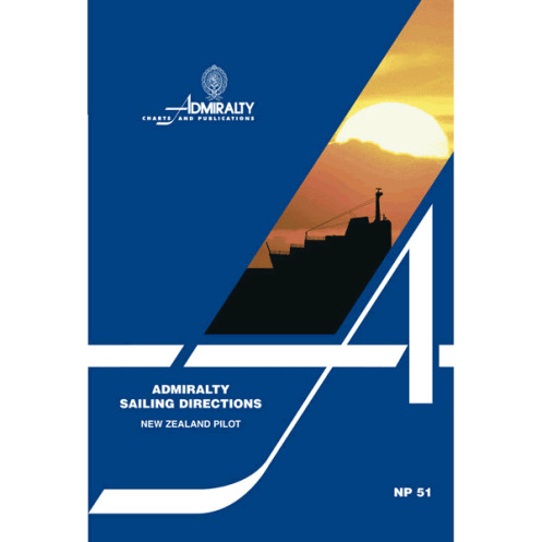




This authoritative guide for New Zealand’s waters delivers critical navigation details—hazards, buoys, port facilities, and weather—ensuring safer, more efficient voyages for all mariners.
Data sheet
Specific References
Navigate New Zealand’s Waters with Precision and Confidence
Sailing Directions: New Zealand NP051 is the definitive navigational reference for commercial mariners, offering unparalleled detail on one of the world’s most diverse and challenging maritime regions. This essential publication bridges the gap between standard nautical charts and real-world operational needs, providing actionable intelligence for safe and efficient voyages. Covering over 1,500 nautical miles of coastline, including critical shipping routes, remote anchorages, and high-traffic ports, it ensures vessels of all sizes can navigate with accuracy and foresight.
Engineered for Professional Maritime Operations
Designed for the demands of the merchant marine, this 19th edition (2015) delivers a wealth of practical data, from hazard identification to port infrastructure details. Mariners gain access to precise coordinates (latitude -25° to -53°, longitude 170° to -167°), seasonal current patterns, and localized weather insights, all presented in a clear, easy-to-reference format. The inclusion of high-resolution diagrams and coastal imagery further enhances route planning, allowing crews to visualize key landmarks and potential obstacles before they come into view.
Built for Reliability in Any Environment
Weighing just 1.9 kg, this paper edition is engineered for durability and ease of use, whether on the bridge or in the field. Its comprehensive coverage—spanning 74 to 76 volumes globally—ensures consistency with other navigational resources, reducing the risk of discrepancies during multi-region voyages. For vessels operating in New Zealand’s waters, this publication is not just a tool but a critical asset for maintaining safety, compliance, and operational efficiency.
Sailing Directions: New Zealand NP051 is a paper-based navigational publication in English, weighing 1.9 kg. The 19th edition (2015) covers New Zealand’s coastal and offshore waters, including the North and South Islands, Stewart Island, and surrounding areas, with precise geographic coordinates spanning latitudes -25° to -53° and longitudes 170° to -167°. Designed for professional use, it integrates seamlessly with standard nautical charts to provide a complete navigational solution.
With over two centuries of expertise in maritime navigation, this publisher sets the global standard for hydrographic data and nautical publications. Renowned for accuracy and reliability, their resources are trusted by commercial fleets, naval operations, and maritime authorities worldwide, ensuring safe and efficient navigation across the planet’s most challenging waters.
This publication covers the coastal and offshore waters of New Zealand, including the North and South Islands, Stewart Island, and surrounding areas.
The guide includes information on submerged rocks, reefs, wrecks, strong currents, and other potential hazards to safe navigation.
Yes, it provides details on port facilities, local regulations, pilotage requirements, and berthing information for various harbors.
The publication is periodically updated to ensure accuracy, with this edition released in 2015 as the 19th edition.
Yes, it covers seasonal weather conditions, including wind patterns, storms, and other climate-related factors affecting navigation.
The guide features high-quality diagrams, photographs, and coastal views to enhance situational awareness during passage planning.
Yes, it is designed for merchant vessels of all classes, as well as other maritime users requiring detailed navigational guidance.
You might also like


























































![Admiralty - NP054 - Sailing directions: North Sea [West]](https://www.nautic-way.com/68595-home_default/admiralty-np054-sailing-directions-north-sea-west-maritime-bookshop-nautic-way.jpg)
![Admiralty - NP055 - Sailing directions: North Sea [East]](https://www.nautic-way.com/90871-home_default/admiralty-np055-sailing-directions-north-sea-east-maritime-bookshop-nautic-way.jpg)





































































































