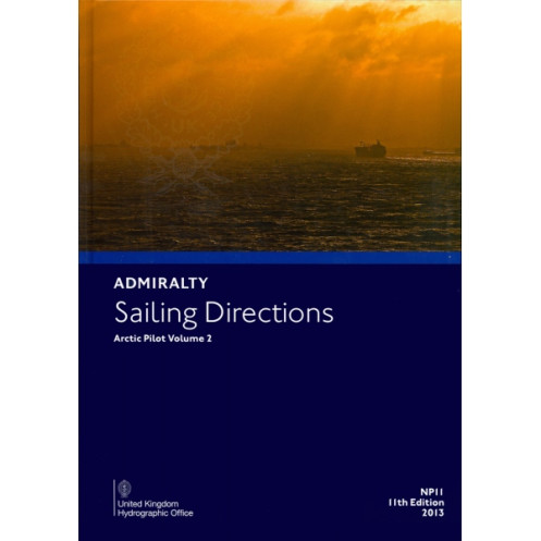




Master Arctic navigation with this detailed guide. Featuring Iceland, Jan Mayen, Svalbard, and East Greenland, it provides vital data on hazards, ports, weather, and compliance for seamless voyages.
Data sheet
Specific References
Navigate the Arctic with Confidence Using Sailing Directions: Arctic Vol. 2
When every mile counts and conditions can change in an instant, this publication is your most reliable ally for Arctic navigation. Covering critical regions from Iceland to the eastern coast of Greenland, Sailing Directions: Arctic Vol. 2 provides the detailed, actionable intelligence needed to navigate safely through one of the world’s most complex maritime environments. Whether you’re piloting a commercial vessel, an expedition ship, or a research vessel, this guide ensures you’re prepared for the unique challenges of the High North.
Precision Data for High-Risk Waters
This volume delivers more than just general advice—it offers precise, location-specific information tailored to the Arctic’s most hazardous areas. With coverage spanning latitudes from 55°N to 85°N and longitudes from 40°E to 60°W, it includes critical details on port approaches, coastal navigation, and potential dangers such as icebergs, shallow waters, and unpredictable weather. The guide also provides up-to-date data on buoyage systems, pilotage services, and local regulations, ensuring compliance and safety at every stage of your voyage.
Designed for Professional Mariners
Built for those who demand accuracy and reliability, this publication is an essential tool for commercial shipping operations. It includes practical insights into seasonal variations in ice conditions, tidal patterns, and meteorological hazards, allowing crews to plan routes that minimize risk and maximize efficiency. The guide also highlights key differences between Arctic navigation and lower-latitude voyages, such as the need for specialized equipment and the limitations of search-and-rescue infrastructure. By integrating this resource into your voyage planning, you can reduce operational risks, avoid costly delays, and ensure smooth, compliant operations.
A Trusted Companion to ADMIRALTY Charts
While nautical charts provide the foundation for safe navigation, this guide enhances their utility by offering contextual information that charts alone cannot convey. It details local anomalies, such as areas prone to sudden fog or unusual tidal currents, and provides updates on temporary hazards like construction zones or military exercises. For vessels relying on ADMIRALTY charts, this volume is the perfect complement, filling in the gaps to create a comprehensive navigational toolkit. Weighing just 1.9 kg, its durable paperback format is designed for easy use on the bridge, ensuring critical information is always within reach.
This essential navigational guide provides comprehensive coverage of Arctic waters, including Iceland, Jan Mayen, Bjørnøya, Svalbard, and the eastern coast of Greenland. Weighing 1.9 kg, the paperback edition is designed for durability and ease of use on the bridge. It includes detailed information on navigation hazards, buoyage systems, pilotage services, port facilities, and seasonal variations in ice and weather conditions. The 11th edition (2013) is published in English and serves as a critical companion to ADMIRALTY charts for professional mariners.
With over two centuries of expertise in hydrography and maritime safety, the publisher behind this publication is a global leader in navigational solutions. Renowned for its accuracy, reliability, and commitment to innovation, the organization provides essential resources for mariners worldwide, from commercial shipping to scientific research. Its publications are trusted by professionals navigating some of the most challenging waters on the planet, ensuring safety and efficiency in every voyage.
This volume covers Iceland, Jan Mayen, Bjørnøya, Svalbard, and the east coast of Greenland, including adjacent seas.
It includes information on potential dangers such as ice conditions, seasonal currents, and specific coastal navigation risks.
Yes, it provides details on pilotage services, port regulations, and available port facilities for the covered regions.
The paperback edition weighs approximately 1.9 kg.
The available edition is either the 11th (2013) or 12th (2018), depending on stock.
Yes, it contains relevant meteorological data, including seasonal weather patterns and climatic conditions.
Yes, it is part of the ADMIRALTY Sailing Directions series, which includes 76 volumes.
You might also like


























































![Admiralty - NP054 - Sailing directions: North Sea [West]](https://www.nautic-way.com/68595-home_default/admiralty-np054-sailing-directions-north-sea-west-maritime-bookshop-nautic-way.jpg)
![Admiralty - NP055 - Sailing directions: North Sea [East]](https://www.nautic-way.com/90871-home_default/admiralty-np055-sailing-directions-north-sea-east-maritime-bookshop-nautic-way.jpg)





































































































