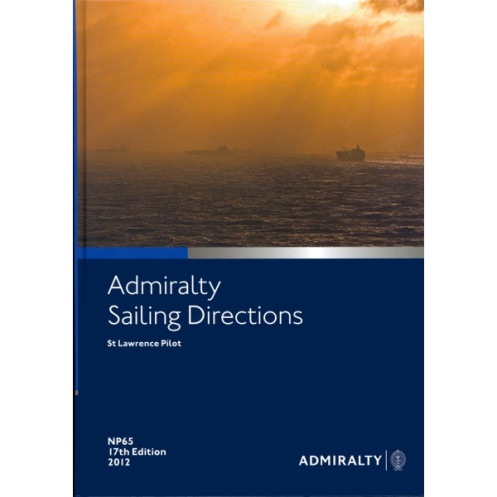




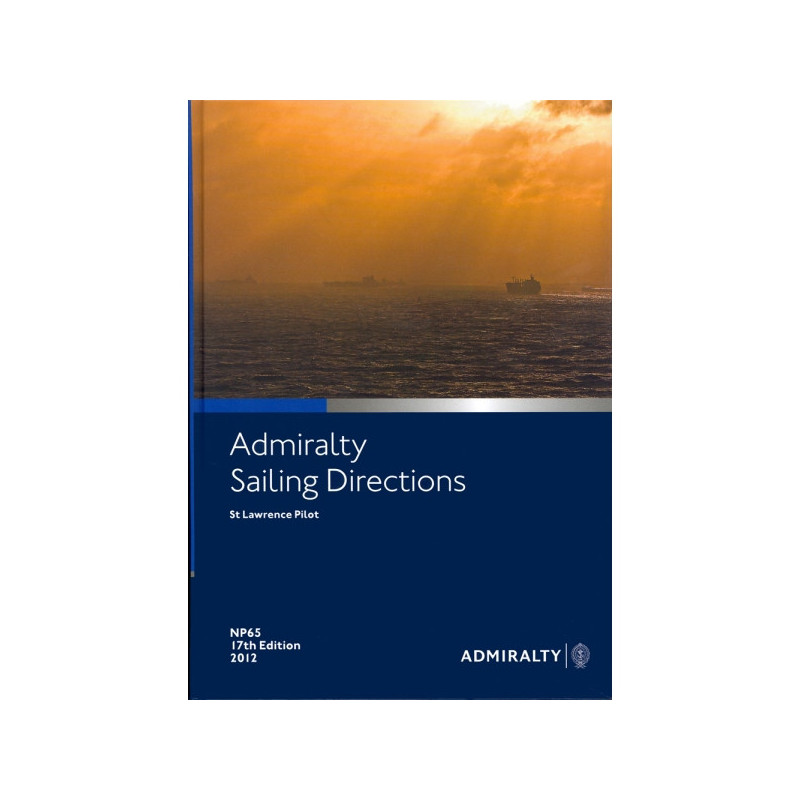
Essential sailing directions for the St. Lawrence Gulf and River, covering coastal and port navigation from Cap-Breton to Quebec and Montreal. Updated 2016 edition in English.
Data sheet
Specific References
Navigate the St. Lawrence with Confidence Using NP065 Sailing Directions
The St. Lawrence Gulf and River present some of the most challenging yet critical navigational routes in North America, demanding precision, local knowledge, and reliable data. Sailing Directions: St. Lawrence – NP065 is the definitive printed guide for mariners tasked with safely traversing these waters, offering unparalleled detail on coastal features, port approaches, and navigational hazards. Weighing 1.9 kg and presented in a durable hardback format, this 18th edition (2016) is engineered to deliver essential information in the most demanding maritime environments, ensuring accessibility even when digital systems are unavailable.
Tailored for Professional Maritime Operations
Designed specifically for commercial shipping, fishing vessels, and maritime authorities, NP065 provides a comprehensive overview of the St. Lawrence region, including the east coast of Cape Breton Island, Cabot Strait, Canso Strait, Anticosti Island, and the approaches to Quebec and Montreal. The guide covers critical details such as buoyage systems, tidal streams, local regulations, and pilotage requirements, enabling mariners to make informed decisions quickly. With coverage spanning latitudes from 45.33°N to 52°N and longitudes from -57°W to -75°W, this publication ensures no detail is overlooked, from major shipping lanes to lesser-known anchorages.
Built to Withstand the Rigors of Life at Sea
Unlike digital alternatives, the printed version of Sailing Directions: St. Lawrence is designed to endure the harsh conditions of maritime operations. Its hardback binding resists moisture, wear, and frequent handling, making it a dependable resource on the bridge or in the wheelhouse. The clear, structured layout allows for rapid reference, with indexed sections and high-quality charts that simplify route planning and hazard avoidance. Whether navigating the bustling ports of Montreal or the remote waters of Anticosti Island, this publication provides the reliability and durability that professional mariners demand.
A Global Standard for Maritime Safety
As part of a series of 76 volumes, NP065 adheres to the exacting standards of the United Kingdom Hydrographic Office, a leader in maritime safety and navigation. This edition incorporates the latest hydrographic surveys and navigational updates, ensuring mariners have access to the most accurate and current information available. By integrating this guide into their navigational toolkit, professionals can confidently navigate the St. Lawrence’s complex waterways while upholding the highest standards of safety and operational efficiency.
Sailing Directions: St. Lawrence – NP065 is a hardback publication in its 18th edition (2016), weighing 1.9 kg. It provides comprehensive coverage of the St. Lawrence region, including key areas such as the east coast of Cape Breton Island, Cabot Strait, and the approaches to Quebec and Montreal. The guide spans latitudes from 45.33°N to 52°N and longitudes from -57°W to -75°W, offering detailed navigational data in a durable, printed format designed for professional maritime use.
The United Kingdom Hydrographic Office is a globally recognized authority in maritime navigation, providing accurate and reliable hydrographic data to ensure the safety of vessels worldwide. With a legacy of excellence, their publications are trusted by commercial mariners, naval forces, and maritime authorities to deliver critical navigational information in both digital and printed formats.
It covers the Gulf and River St. Lawrence, including the east coast of Cape Breton Island, Cabot Strait, Canso Strait, Anticosti Island, and the approaches to Quebec and Montreal.
No, this edition is only available in English.
The publication weighs 1.9 kg.
This publication is part of a series that includes 76 volumes.
It features a hardback binding for durability.
The latest available edition is from 2016, which is the 18th edition.
Yes, it includes specific latitudes and longitudes for precise navigation in the covered areas.
You might also like




























































![Admiralty - NP054 - Sailing directions: North Sea [West]](https://www.nautic-way.com/68595-home_default/admiralty-np054-sailing-directions-north-sea-west-maritime-bookshop-nautic-way.jpg)
![Admiralty - NP055 - Sailing directions: North Sea [East]](https://www.nautic-way.com/90871-home_default/admiralty-np055-sailing-directions-north-sea-east-maritime-bookshop-nautic-way.jpg)