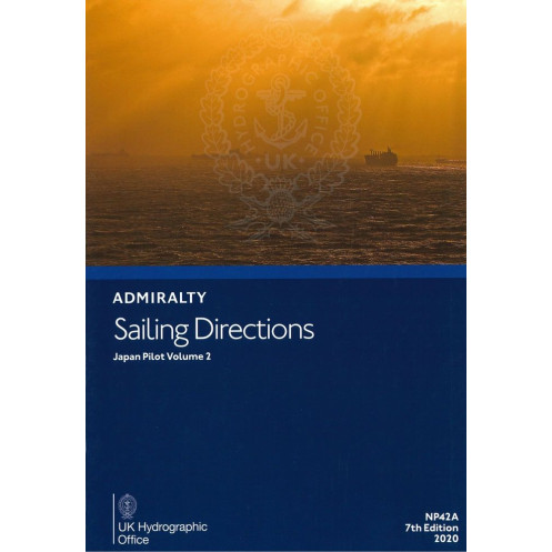




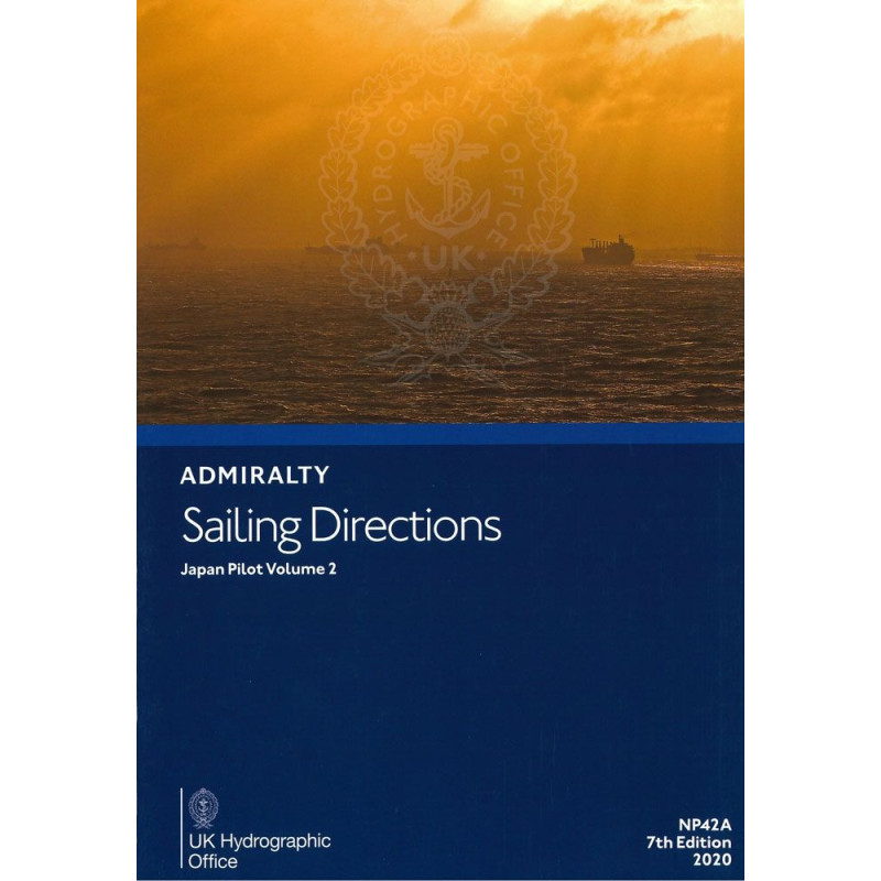
Ensure safe and accurate navigation along Japan’s southern waters with this detailed sailing guide. Covers Shikoku, Honshu, and Nanpo Shoto, providing vital port and coastal insights for mariners.
Data sheet
Specific References
Designed for commercial shipping, maritime transport, and professional mariners, *Sailing Directions: Japan Vol. 2* delivers authoritative, up-to-date guidance for safe and efficient coastal and port navigation. This essential nautical publication covers critical areas along Japan’s southern coastlines, including the south coast of Shikoku from Komo Saki to Kanda Saki, the south coast of Honshu from Hi-no Misaki to Taito Saki, and the Nanpo Shoto islands. Whether navigating busy shipping lanes, approaching ports, or transiting coastal waters, this volume provides the precise, reliable information required to ensure operational safety and compliance with international maritime standards.
As part of the globally recognized *Admiralty Sailing Directions* series, this publication is developed by leading hydrographic experts to support professional mariners in high-stakes environments. It consolidates decades of hydrographic data, local knowledge, and navigational best practices into a single, authoritative reference. The 8th edition (2023) reflects the latest updates in coastal geography, port infrastructure, tidal patterns, and navigational hazards, ensuring that crews have access to the most current and accurate information available. With a focus on practical application, this volume is an indispensable tool for voyage planning, risk assessment, and real-time decision-making at sea.
The waters covered in *Sailing Directions: Japan Vol. 2* present unique challenges, from densely trafficked shipping routes to intricate coastal features and variable weather conditions. This publication provides detailed descriptions of navigational aids, recommended tracks, anchorage zones, and port entry procedures, enabling mariners to navigate with confidence. It also includes critical warnings about submerged hazards, restricted areas, and local regulations, helping vessels avoid costly delays or incidents. By integrating this resource into their navigational workflows, shipping companies and maritime professionals can enhance operational efficiency while minimizing risks in one of the world’s most strategically important maritime regions.
Engineered for durability and ease of use, this printed volume is designed to withstand the demanding conditions of life at sea. Its hardcover binding ensures longevity, while the clear, structured layout allows for quick reference during critical operations. Weighing 1.9 kg, it is optimized for onboard use, providing immediate access to vital information without reliance on digital systems. For organizations that require both print and digital solutions, this publication is also available in e-NP format, offering flexibility for modern maritime operations. Whether used as a primary reference or a backup to electronic charts, *Sailing Directions: Japan Vol. 2* is a cornerstone of professional maritime navigation.
Navigate Japan’s Southern Waters with Unmatched Precision
Ensure safe and efficient voyages along Japan’s critical southern coastlines with *Sailing Directions: Japan Vol. 2*, the definitive nautical reference for professional mariners. This 8th edition (2023) publication delivers comprehensive, up-to-date guidance for navigating the south coast of Shikoku, the south coast of Honshu, and the Nanpo Shoto islands—regions vital to global shipping, commercial fishing, and maritime logistics. Designed for use in high-pressure environments, this volume combines decades of hydrographic expertise with the latest navigational data to support voyage planning, port entry, and real-time decision-making.
Engineered for Professional Maritime Operations
Weighing 1.9 kg, this hardcover publication is built to endure the rigors of onboard use, providing a reliable, offline resource that complements electronic navigation systems. Its structured layout and detailed descriptions of navigational aids, recommended tracks, and hazard warnings enable crews to navigate complex waters with confidence. Covering latitudes from 22.5°N to 36°N and longitudes from 132.25°E to 150°E, this volume addresses the unique challenges of Japan’s southern coastlines, including dense shipping traffic, variable weather, and intricate coastal geography. Whether approaching ports or transiting open waters, mariners can trust this publication to deliver the precision and clarity required for safe and compliant operations.
Trusted by the Global Maritime Industry
As part of the *Admiralty Sailing Directions* series, this publication is recognized worldwide for its accuracy, reliability, and adherence to international maritime standards. It consolidates essential information—such as tidal patterns, port infrastructure, and local regulations—into a single, authoritative reference, reducing the risk of navigational errors and operational delays. For organizations that require both print and digital solutions, this volume is also available in e-NP format, offering seamless integration with modern navigation systems. By incorporating *Sailing Directions: Japan Vol. 2* into their workflows, shipping companies, maritime authorities, and professional crews can enhance operational efficiency and safety in one of the world’s most strategically important maritime regions.
This 8th edition (2023) of *Sailing Directions: Japan Vol. 2* is a printed, hardcover publication in English, weighing 1.9 kg. It covers critical navigational areas along Japan’s southern coastlines, including the south coast of Shikoku (Komo Saki to Kanda Saki), the south coast of Honshu (Hi-no Misaki to Taito Saki), and the Nanpo Shoto islands, with detailed guidance on latitudes ranging from 22.5°N to 36°N and longitudes from 132.25°E to 150°E. Designed for professional use, it provides up-to-date information on navigational aids, port entry procedures, and hazard warnings, ensuring compliance with international maritime standards.
The publisher behind this publication is a globally recognized authority in hydrography and maritime navigation, trusted by professional mariners, shipping companies, and maritime authorities worldwide. With a legacy of precision and reliability, their nautical publications are developed using the latest hydrographic data and best practices, ensuring compliance with international standards. Their comprehensive range of sailing directions, charts, and digital solutions supports safe and efficient navigation across the world’s most critical maritime routes.
This volume covers the southern coast of Shikoku from Komo Saki to Kanda Saki, the southern coast of Honshu from Hi-no Misaki to Taito Saki, and the Nanpo Shoto islands.
Yes, it is available in both paper and digital (e-NP) formats.
The paper version weighs 1.9 kg.
This is the 8th edition, published in 2023, with data updated up to 2020.
The paper version features a hardcover binding.
Yes, the publication includes precise latitudes and longitudes for the covered regions.
You might also like


























































![Admiralty - NP054 - Sailing directions: North Sea [West]](https://www.nautic-way.com/68595-home_default/admiralty-np054-sailing-directions-north-sea-west-maritime-bookshop-nautic-way.jpg)
![Admiralty - NP055 - Sailing directions: North Sea [East]](https://www.nautic-way.com/90871-home_default/admiralty-np055-sailing-directions-north-sea-east-maritime-bookshop-nautic-way.jpg)