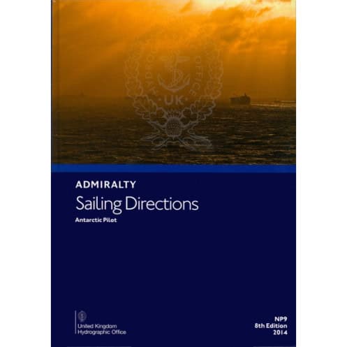




This trusted sailing guide for Antarctic waters provides critical details for port entry, coastal navigation, and voyage planning. Ensures safe and precise travels in polar regions.
Data sheet
Specific References
Navigate the Antarctic with Confidence Using This Essential Nautical Reference
When operating in the world’s most remote and hazardous waters, precision and reliability are non-negotiable. This official nautical publication provides mariners with the critical data needed to navigate the Antarctic and sub-Antarctic regions safely. Covering latitudes from 45°S to 58°S and longitudes spanning from 100°W to 141°E, it delivers comprehensive guidance for coastal navigation, port entry, and voyage planning in one of the most challenging maritime environments on the planet.
Engineered for Professional Mariners and Polar Expeditions
Designed to meet the demands of commercial shipping, research vessels, and polar expeditions, this hardback edition is built for durability and field use. Weighing 1.9 kg, it balances portability with robust construction, ensuring it remains a dependable resource even in extreme conditions. The 2014 edition, updated with the latest hydrographic data, provides mariners with the most accurate and actionable information available, from ice conditions to coastal hazards.
Trusted by the Global Maritime Community
As an official publication, this nautical instruction is recognized worldwide for its authority and accuracy. It serves as a vital tool for crews navigating the Southern Ocean, offering detailed descriptions of anchorages, ports, and navigational challenges unique to polar waters. Whether planning a route through ice fields or approaching a remote research station, mariners rely on this guide to make informed decisions that enhance safety and operational efficiency.
This nautical publication is a hardback, English-language volume designed for professional use in polar navigation. Weighing 1.9 kg, it covers the Antarctic and sub-Antarctic regions, with detailed hydrographic data for latitudes between 45°S and 58°S and longitudes from 100°W to 141°E. The 2014 edition ensures mariners have access to updated information for safe and efficient voyage planning.
With a legacy of excellence in maritime navigation, this publisher is a global leader in hydrographic data and nautical publications. Trusted by navies, commercial fleets, and polar expeditions, their resources are designed to enhance safety and precision in the world’s most challenging waters. Each publication reflects decades of expertise, ensuring mariners have the most reliable tools for successful voyages.
The guide covers latitudes from -58.0 to -45.0 and longitudes from -100.0 to 141.0, focusing on Antarctic waters and nearby islands.
Yes, it is designed for both professional navigators and recreational sailors operating in polar regions.
New editions are released periodically, with the 8th edition published in 2014 and the 9th edition in 2019.
It features a hardback binding for durability in marine environments.
Yes, it provides essential details for port entry, coastal navigation, and passage planning in Antarctic waters.
The publication weighs approximately 1.9 kg.
You might also like


























































![Admiralty - NP054 - Sailing directions: North Sea [West]](https://www.nautic-way.com/68595-home_default/admiralty-np054-sailing-directions-north-sea-west-maritime-bookshop-nautic-way.jpg)
![Admiralty - NP055 - Sailing directions: North Sea [East]](https://www.nautic-way.com/90871-home_default/admiralty-np055-sailing-directions-north-sea-east-maritime-bookshop-nautic-way.jpg)





































































































