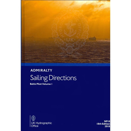




Navigate the Baltic Sea with confidence using this essential sailing guide. Packed with critical details for port entry and coastal navigation, it ensures safe and precise voyages for all vessels.
Data sheet
Specific References
Navigate the Baltic Sea with Confidence
Sailing Directions: Baltic Vol. 1 is the definitive guide for mariners operating in the Baltic Sea, delivering unparalleled accuracy and depth for safe and efficient navigation. This essential publication provides detailed insights into port entries, coastal routes, and local conditions, ensuring vessels can navigate with precision and compliance. Designed for commercial shipping, offshore operations, and maritime authorities, it is a trusted resource for voyage planning and execution in one of the world’s busiest maritime regions.
Comprehensive Coverage for Every Voyage
Weighing 1.65 kg, this 21st edition (2026) of Sailing Directions: Baltic Vol. 1 is a robust paperback publication, built to endure the rigors of maritime use. It covers critical navigational data, including tides, currents, pilotage requirements, and port facilities, across a vast area spanning latitudes from 53°N to 57.83°N and longitudes from 9.08°E to 13.56°E. Whether navigating major shipping lanes or remote coastal waters, this volume provides the detailed information needed to mitigate risks and optimize routes.
Precision-Engineered for Maritime Professionals
Updated with the latest hydrographic and navigational data, this publication ensures mariners have access to the most current and reliable information. It includes clear descriptions of navigational aids, depth soundings, and environmental factors, supporting compliance with international maritime regulations. The structured layout and intuitive organization allow for quick reference, making it an indispensable tool for both pre-voyage planning and real-time decision-making on the bridge.
Built for Durability and Practical Use
Designed for the demanding maritime environment, this paperback edition is engineered to withstand frequent handling and harsh conditions. Its durable construction and user-friendly format make it a practical companion for mariners, whether in port or at sea. By integrating this volume into their navigational toolkit, professionals gain access to actionable insights tailored to the unique challenges of the Baltic Sea, ensuring safer and more efficient voyages.
Sailing Directions: Baltic Vol. 1 is a paperback publication in English, weighing 1.65 kg. This 21st edition (2026) provides comprehensive navigational guidance for the Baltic Sea, covering latitudes from 53°N to 57.83°N and longitudes from 9.08°E to 13.56°E. Designed for durability and practical use, it includes detailed data on tides, currents, port facilities, and navigational hazards, ensuring accuracy and reliability for maritime professionals.
With a legacy spanning over two centuries, this publisher is a global leader in hydrographic and maritime data, trusted by navies, commercial fleets, and maritime authorities worldwide. Their publications are renowned for their precision, reliability, and adherence to international standards, making them an essential resource for safe and efficient navigation across the world’s oceans.
This volume covers coastal navigation and port entries in the Baltic Sea, specifically between latitudes 53°N to 57.83°N and longitudes 9.08°E to 13.56°E.
Yes, it provides essential navigation information for all types of ships, including commercial, recreational, and military vessels.
The latest edition available is the 21st edition, published in 2026, though some references may still list the 17th edition from 2015.
Updates are typically released every few years, with new editions incorporating the latest navigational data and corrections.
The printed version weighs approximately 1.65 kg.
No, this publication is available only in a printed, paperback format.
Yes, it includes detailed information on navigation hazards, safe routes, and other critical data to ensure safe passage in the covered regions.
You might also like


























































![Admiralty - NP054 - Sailing directions: North Sea [West]](https://www.nautic-way.com/68595-home_default/admiralty-np054-sailing-directions-north-sea-west-maritime-bookshop-nautic-way.jpg)
![Admiralty - NP055 - Sailing directions: North Sea [East]](https://www.nautic-way.com/90871-home_default/admiralty-np055-sailing-directions-north-sea-east-maritime-bookshop-nautic-way.jpg)





































































































