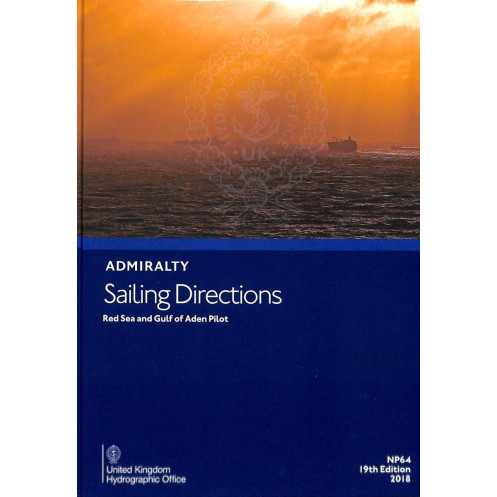




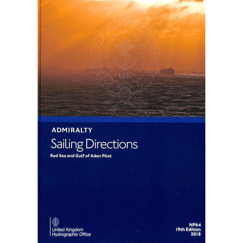
This 16th edition sailing guide for the Red Sea and Gulf of Aden delivers critical details on ports, hazards, and weather. Ensure safe, precise navigation for all vessels with this trusted resource.
Data sheet
Specific References
Navigate High-Risk Waters with Confidence Using This Essential Maritime Reference
The Sailing Directions: Red Sea and Gulf of Aden 16th Edition delivers mission-critical navigation data for one of the world’s most complex maritime environments. This 1.9 kg hardback publication provides SOLAS-compliant guidance for over 2,000 nautical miles of high-traffic shipping lanes, including the Suez Canal, Gulf of Aden piracy risk zones, and Red Sea coral reef areas. With coverage spanning from Ra's Fartak to Ra's al Junayz and Raas Caseyr to Raas Binna, it offers unmatched regional expertise for commercial vessels, naval operations, and offshore support fleets.
Precision Navigation Data for Strategic Maritime Operations
Engineered for professional mariners, this 18th edition (2021 publication) combines hydrographic survey data with real-world operational insights. The publication features 76 volumes in the series, each meticulously updated to reflect changing maritime conditions. Its comprehensive approach includes detailed port entries, VTS procedures, and security protocols for high-risk areas, all cross-referenced with official Admiralty charts. The hardback binding and humidity-resistant paper ensure durability in bridge environments, while the standardized format allows for rapid information retrieval during critical navigation phases.
Comprehensive Coverage of Geopolitically Sensitive Waterways
From the narrow confines of the Suez Canal to the open waters of the Gulf of Aden, this guide provides essential intelligence for navigating complex maritime zones. It includes verified data on military exercise areas, underwater cable crossings, and seasonal weather patterns that impact vessel operations. The publication’s regional breakdown covers eight critical sub-zones, each with specific guidance on local regulations, pilotage requirements, and emergency procedures. This level of detail makes it indispensable for vessels transiting between Europe, Asia, and the Middle East.
This professional-grade navigation reference provides authoritative coverage of the Red Sea and Gulf of Aden regions in a 1.9 kg hardback format. The 18th edition (2021 publication) spans 2,000+ nautical miles with precise geographic coordinates from latitude 8°N to 31°N and longitude 20°E to 61°E. Available in both physical and digital (e-NP) formats, it includes high-resolution diagrams and photographs to support safe passage planning for all vessel types.
With over two centuries of hydrographic expertise, this publisher sets the global standard for maritime navigation publications. Their comprehensive series of sailing directions covers all major shipping routes and critical waterways, developed through extensive hydrographic surveys and real-world operational data. Recognized by maritime authorities worldwide, their publications are essential references for commercial shipping, naval operations, and offshore industries requiring SOLAS-compliant navigation resources.
This publication covers the Red Sea, Gulf of Aden, Suez Canal, Gulf of Suez, Gulf of Aqaba, southeast coast of Arabia from Ra's Fartak to Ra's al Junayz, and the African coast from Raas Caseyr to Raas Binna, including Socotra and adjacent islands.
Yes, this edition is designed to assist all types of vessels with navigation in the covered regions.
It includes high-quality diagrams and photographs to aid in passage planning and safe navigation.
New editions are typically released every few years to ensure updated navigational information. This is the 18th edition, published in 2021.
Yes, in addition to the paper version, a digital format (e-NP) is also available.
The paperback version weighs approximately 1.9 kg.
Yes, it includes local regulations relevant to navigation in the covered areas, along with pilotage and climatic conditions.
You might also like



























































![Admiralty - NP054 - Sailing directions: North Sea [West]](https://www.nautic-way.com/68595-home_default/admiralty-np054-sailing-directions-north-sea-west-maritime-bookshop-nautic-way.jpg)
![Admiralty - NP055 - Sailing directions: North Sea [East]](https://www.nautic-way.com/90871-home_default/admiralty-np055-sailing-directions-north-sea-east-maritime-bookshop-nautic-way.jpg)




































































































