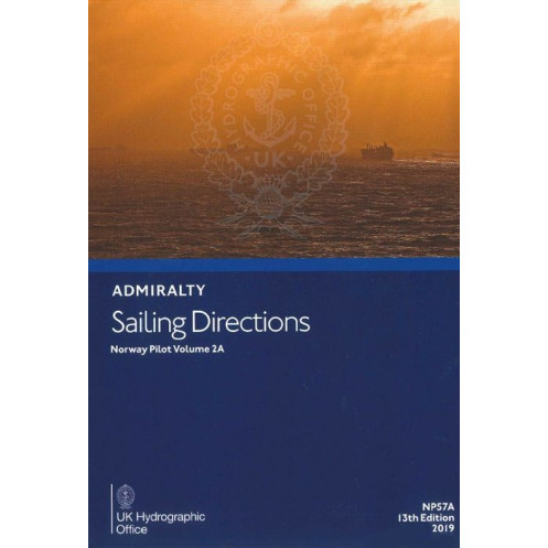




Ensure safe navigation along Norway’s coast with this detailed sailing directions guide. Covers hazards, buoys, ports, and weather—ideal for planning secure and efficient passages.
Data sheet
Specific References
Precision Navigation for Norway’s Coastal Waters
Sailing Directions: Norway Vol. 2A is the definitive guide for mariners navigating Norway’s complex coastal regions, offering unparalleled detail for safe and efficient passage planning. Weighing 2.03 kg, this hardcover publication is built to withstand the demands of onboard use, ensuring durability in harsh maritime environments. Its 14th edition (2022) guarantees access to the most current hydrographic data, regulatory updates, and environmental insights, making it a trusted resource for professional navigators.
Tailored for Professional Maritime Operations
Designed for commercial shipping, fishing fleets, and offshore support vessels, this publication covers critical aspects of coastal navigation, including buoyage systems, pilotage requirements, and port facilities. It provides precise coordinates spanning latitudes 57°55’N to 62°59’N and longitudes 1°48’E to 8°00’E, ensuring comprehensive coverage of Norway’s western and northern coastal waters. The inclusion of seasonal data—such as ice conditions, tidal currents, and climatic patterns—allows mariners to adapt their routes dynamically, reducing risks and optimizing transit times.
Visual and Textual Clarity for Enhanced Decision-Making
Beyond textual descriptions, this volume features high-resolution diagrams and photographs that highlight key landmarks, navigational hazards, and coastal features. These visual aids complement official nautical charts, providing contextual clarity that enhances situational awareness. Whether identifying a critical waypoint or assessing a potential hazard, mariners benefit from a multi-dimensional understanding of their operational environment, minimizing the risk of misinterpretation.
Compliance and Operational Efficiency
Navigating Norwegian waters requires adherence to local maritime regulations, and this publication ensures compliance by detailing pilotage zones, traffic separation schemes, and port entry procedures. It also includes information on emergency services, repair facilities, and communication protocols, streamlining operations for vessels of all sizes. By consolidating essential data into a single, accessible resource, Sailing Directions: Norway Vol. 2A reduces the need for cross-referencing multiple documents, saving time and reducing the potential for error.
Sailing Directions: Norway Vol. 2A is a hardcover publication in English, weighing 2.03 kg, designed for durability in maritime environments. The 14th edition (2022) covers Norway’s coastal waters between latitudes 57°55’N and 62°59’N and longitudes 1°48’E and 8°00’E, providing up-to-date navigational guidance for professional mariners.
The United Kingdom Hydrographic Office is a globally recognized authority in maritime navigation, providing accurate and reliable hydrographic data to support safe and efficient maritime operations. With a legacy of over two centuries, their publications are trusted by commercial fleets, naval forces, and maritime professionals worldwide, ensuring compliance with international standards and best practices.
This volume covers the Norwegian coastal waters between latitudes 57°37'N to 62°59'N and longitudes 1°48'E to 8°00'E, including key regions like the western coast and fjords.
Yes, the sailing directions provide detailed navigational information applicable to all types of vessels, from small boats to large ships.
This publication is updated periodically, with the latest edition released in 2022 as the 14th edition.
Yes, it includes high-quality diagrams and photographs to enhance situational awareness during passage planning.
It provides information on submerged rocks, strong currents, shallow waters, and other potential hazards specific to the covered coastal areas.
Yes, it details port facilities, local regulations, and pilotage requirements for safe and compliant navigation.
Absolutely, it is designed to complement official nautical charts by providing additional context and detailed guidance for coastal navigation.
You might also like



























































![Admiralty - NP054 - Sailing directions: North Sea [West]](https://www.nautic-way.com/68595-home_default/admiralty-np054-sailing-directions-north-sea-west-maritime-bookshop-nautic-way.jpg)
![Admiralty - NP055 - Sailing directions: North Sea [East]](https://www.nautic-way.com/90871-home_default/admiralty-np055-sailing-directions-north-sea-east-maritime-bookshop-nautic-way.jpg)




































































































