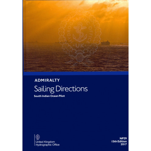




Navigate the South Indian Ocean with confidence using this official nautical guide. Covers ports, hazards, and navigation aids for Madagascar, Seychelles, and surrounding regions.
Data sheet
Specific References
Navigate the South Indian Ocean with Confidence
This official nautical publication is the definitive guide for mariners operating in the South Indian Ocean, offering unparalleled accuracy and depth of information for safe and efficient navigation. Designed for professionals in the merchant marine, it combines hydrographic precision with practical insights to support every phase of a voyage, from coastal approaches to port entries. Whether you're navigating the bustling trade lanes near Madagascar or the remote waters of the Seychelles, this publication ensures you have the critical data needed to make informed decisions.
Comprehensive Coverage for High-Stakes Maritime Operations
Weighing 1.9 kg, this 16th edition (2020) publication covers a vast expanse of the South Indian Ocean, including key maritime zones such as the Comoros, Réunion, and Mauritius. It provides detailed descriptions of ports, harbors, and coastal features, along with up-to-date information on navigational hazards like reefs, shallow waters, and strong currents. The publication also includes essential data on aids to navigation, such as buoys, lighthouses, and radio signals, ensuring compliance with international maritime safety standards. With coverage spanning latitudes from -45° to -2° and longitudes from 39° to 90°, it is an indispensable resource for vessels of all types, from cargo ships to fishing fleets.
Built for Durability and Reliability in Demanding Environments
Engineered for use in the harshest maritime conditions, this paper version publication is designed to withstand the rigors of life at sea. Its robust construction ensures it remains a reliable reference on the bridge, in the chartroom, or during port operations. As part of a series of 76 official nautical publications, it adheres to the highest standards of accuracy, with updates reflecting the latest hydrographic surveys and regulatory changes. This ensures that mariners have access to the most current and trustworthy information available, reducing risks and enhancing operational efficiency.
Trusted by Maritime Professionals Worldwide
This publication is a cornerstone of maritime navigation, trusted by ship captains, navigators, and maritime authorities for its precision and reliability. It includes strategic insights for voyage planning, such as recommended routes, seasonal weather patterns, and environmental considerations, enabling mariners to optimize their journeys while minimizing risks. Whether you're coordinating with port authorities, avoiding high-risk areas, or ensuring compliance with local maritime laws, this publication provides the tools needed to navigate the South Indian Ocean with confidence.
This official nautical publication provides essential sailing directions for the South Indian Ocean, covering critical maritime zones such as the Comoros, Madagascar, Seychelles, Réunion, and Mauritius. Weighing 1.9 kg, the 16th edition (2020) is available in a durable paper format and includes detailed information on ports, navigational hazards, and aids to navigation. It spans latitudes from -45° to -2° and longitudes from 39° to 90°, making it a comprehensive resource for professional mariners operating in this strategically important region.
With a legacy of over two centuries, this publisher is a global leader in hydrographic and maritime navigation solutions. Renowned for its precision, reliability, and adherence to international standards, it provides essential tools for safe and efficient navigation across the world's oceans. Its publications are trusted by maritime professionals, governments, and naval forces, ensuring compliance with the highest safety and operational protocols.
The publication covers latitudes from 45°S to 2°N and longitudes from 39°E to 90°E, including key regions like the Comoros, Madagascar, Seychelles, Réunion, and Mauritius.
New editions are typically updated every few years to ensure the latest navigational data. The current edition is the 16th, released in 2020.
Yes, in addition to the paper format, a digital version (e-NP) is available for enhanced accessibility and convenience.
It provides detailed coastal navigation instructions, port entry guidance, hazards, and aids to navigation for safe and efficient maritime operations.
The printed version weighs approximately 1.9 kg, making it suitable for onboard use.
Yes, this publication is part of a series of 76 volumes, each covering different global maritime regions.
You might also like


























































![Admiralty - NP054 - Sailing directions: North Sea [West]](https://www.nautic-way.com/68595-home_default/admiralty-np054-sailing-directions-north-sea-west-maritime-bookshop-nautic-way.jpg)
![Admiralty - NP055 - Sailing directions: North Sea [East]](https://www.nautic-way.com/90871-home_default/admiralty-np055-sailing-directions-north-sea-east-maritime-bookshop-nautic-way.jpg)





































































































