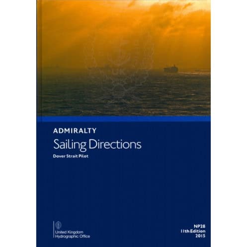




Ensure safe passage through the Dover Strait with this detailed nautical pilot. Covers key coastal areas from Bognor Regis to Scheveningen, packed with vital navigation insights in English.
Data sheet
Specific References
Navigate the Dover Strait with Confidence
The *Dover Strait Pilot – NP028 Sailing Directions* is the definitive nautical guide for mariners operating in one of the world’s most critical shipping lanes. This 14th Edition (2024) publication delivers unparalleled accuracy, covering over 300 nautical miles of coastline, including key ports like Dover, Calais, and Dunkirk. With a focus on commercial shipping, it provides the precise data needed to ensure safe passage, regulatory compliance, and operational efficiency in a region where margins for error are slim.
Built for the Demands of Professional Navigation
Weighing 1.84 lb, this paperback guide is designed to withstand the rigors of a ship’s bridge. Its durable format ensures reliability even in challenging conditions, where digital systems may falter. The publication includes detailed descriptions of navigational hazards, tidal streams, and traffic separation schemes, all presented in a clear, actionable format. Whether navigating dense traffic or adverse weather, mariners can rely on this guide to make informed decisions quickly.
Trusted by the Maritime Industry
Published by the UK Hydrographic Office, the *Dover Strait Pilot* is recognized as the gold standard for professional maritime guidance. It is updated regularly to reflect the latest hydrographic surveys, regulatory changes, and local practices, ensuring that crews have access to the most current information. From commercial vessels to maritime training programs, this guide is an essential tool for anyone operating in the Dover Strait.
The *Dover Strait Pilot – NP028 Sailing Directions* is a paperback publication in English, featuring the 14th Edition (2024). It covers the southeastern coast of England and the northwestern European coastline, providing detailed navigational instructions, coordinates, and critical waypoints for safe passage. Weighing 1.84 lb, this guide is designed for durability and ease of use in professional maritime environments.
With over two centuries of expertise, this publisher is a global authority in maritime navigation, providing hydrographic data and nautical publications trusted by commercial fleets, navies, and port authorities worldwide. Their publications are recognized for their precision, reliability, and adherence to international maritime standards, making them an essential resource for safe and efficient navigation.
This guide covers the southeast coast of England from Bognor Regis to Southwold and the northwest coast of Europe from Cap d'Antifer to Scheveningen.
No, this nautical guide is only available in English.
The printed version weighs 1.84 pounds.
New editions are released periodically; the latest is the 14th Edition published in 2024.
This nautical guide is published in a hardcover (relié) format.
Yes, it provides essential navigation information suitable for all types of ships.
The guide covers latitudes from 49.58 to 52.33 and longitudes from -1.00 to 5.00.
You might also like



























































![Admiralty - NP054 - Sailing directions: North Sea [West]](https://www.nautic-way.com/68595-home_default/admiralty-np054-sailing-directions-north-sea-west-maritime-bookshop-nautic-way.jpg)
![Admiralty - NP055 - Sailing directions: North Sea [East]](https://www.nautic-way.com/90871-home_default/admiralty-np055-sailing-directions-north-sea-east-maritime-bookshop-nautic-way.jpg)