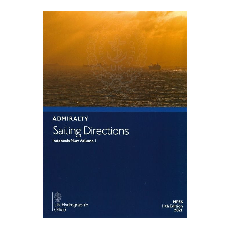


Admiralty - NP036 - Sailing directions: Indonesia Vol. 1
search
  • googlemap
  • Admiralty - NP036 - Sailing directions: Indonesia Vol. 1

Admiralty - NP036 - Sailing directions: Indonesia Vol. 1

€161.80
Tax included
Admiralty - United Kingdom Hydrographic Office

In English language
Estimated preparation time: 5 to 14 days

Navigate Indonesia’s western waters with precision using this essential sailing guide. Covers Java, Sumatra, and Kalimantan coasts, straits, and key routes to Singapore and the South China Sea.

NP036

Data sheet

What is the classification?
navigation book
Who is the publisher or the author?
Admiralty
On what digital medium is this nautical chart / book stored?
paper medium
From which year does this nautical chart date?
2021
What type of navigation book is this?
sailing directions
Picto
In English language

Specific References

UPC
400000111032
EAN13
4000000107071
New
Description détaillée

Sailing Directions: Indonesia Vol. 1

Publication in English
Paper version

Comprehensive Navigation Guidance for Indonesian Waters

Sailing Directions: Indonesia Vol. 1 is an indispensable resource for mariners navigating the complex and busy waters of Indonesia. This authoritative publication delivers detailed, up-to-date information critical for safe and efficient coastal navigation, port entry, and transit through some of the world’s most strategically important maritime routes. Covering the western Java coast, northern Java up to Tanjung Bendoh, southern and eastern Sumatra, and key straits such as Sunda, Bangka, Gelasa, and Karimata, this volume ensures vessels can operate with confidence in one of the most dynamic maritime regions on Earth.

Trusted by Maritime Professionals Worldwide

Designed for commercial shipping, cargo vessels, and maritime operators, this publication is a cornerstone of navigational safety. It provides essential data on depths, currents, tides, navigational hazards, and local regulations, all compiled by a leading hydrographic authority. The 2025 edition reflects the latest hydrographic surveys and maritime updates, ensuring compliance with international standards and best practices. Whether navigating the congested approaches to Singapore, the shallow waters of the Karimata Strait, or the intricate channels of the Riau Archipelago, this volume equips crews with the knowledge needed to mitigate risks and optimize routing.

Precision and Reliability for Critical Maritime Operations

Sailing Directions: Indonesia Vol. 1 is more than a guide—it’s a mission-critical tool for maritime safety. The publication includes detailed descriptions of port facilities, pilotage requirements, and communication protocols, along with high-resolution charts and visual aids to support decision-making in real time. With coverage extending from Tanjung Puting to the Lingga and Riau Islands, it addresses the unique challenges of navigating Indonesia’s archipelagic waters, where shifting sandbanks, strong currents, and heavy traffic demand unparalleled accuracy. This volume is an essential companion for vessels transiting between the South China Sea and the Indian Ocean, ensuring seamless operations in one of the busiest maritime corridors globally.

Built for Durability and Field Use

Engineered for the demanding conditions of life at sea, this paper edition is printed on high-quality, durable stock designed to withstand frequent handling, moisture, and salt exposure. Its hardcover binding ensures longevity, making it a reliable reference throughout extended voyages. The publication’s structured layout, with clear headings, indexed sections, and intuitive navigation aids, allows for quick access to critical information, even in high-pressure situations. For maritime professionals who rely on precision and dependability, this volume is an indispensable asset for safe and efficient navigation.

Optimized for Compliance and Operational Efficiency

This publication aligns with the highest standards of maritime safety, providing data that supports compliance with SOLAS (Safety of Life at Sea) regulations and local maritime laws. It includes updates on navigational warnings, port infrastructure changes, and environmental considerations, ensuring vessels remain compliant with evolving requirements. By integrating this volume into voyage planning and execution, maritime operators can enhance operational efficiency, reduce transit times, and minimize the risk of incidents in Indonesia’s challenging waters. For those who demand accuracy, reliability, and comprehensive coverage, Sailing Directions: Indonesia Vol. 1 is the definitive choice for navigating this vital maritime region.

Navigate Indonesia’s Waters with Unmatched Precision
Sailing Directions: Indonesia Vol. 1 is the definitive navigational resource for mariners operating in one of the world’s most complex maritime environments. This 12th edition, published in 2025, delivers authoritative guidance for safe and efficient navigation along the western and northern coasts of Java, southern and eastern Sumatra, and the critical straits of Sunda, Bangka, Gelasa, and Karimata. Covering over 1,500 nautical miles of coastline and key transit routes to Singapore and the South China Sea, this volume is an essential tool for commercial vessels, cargo ships, and maritime operators who demand accuracy and reliability in their navigational planning.

Engineered for Maritime Professionals
Designed to meet the rigorous demands of the maritime industry, this publication provides comprehensive data on depths, currents, tides, and navigational hazards, ensuring vessels can navigate with confidence. The 2025 edition incorporates the latest hydrographic surveys and updates, reflecting changes in port infrastructure, local regulations, and environmental conditions. With a focus on operational safety and efficiency, it includes detailed descriptions of port facilities, pilotage requirements, and communication protocols, making it an indispensable resource for crews transiting Indonesia’s busy and often challenging waters.

Built for Durability and Field Use
Constructed to withstand the harsh conditions of life at sea, this hardcover publication is printed on high-quality, moisture-resistant paper, ensuring longevity and reliability throughout extended voyages. Weighing just 0.70 kg, it is lightweight yet robust, designed for frequent handling in the bridge or chartroom. The structured layout, with clear headings, indexed sections, and intuitive navigation aids, allows for quick access to critical information, even in high-pressure situations. For mariners who prioritize precision and dependability, this volume is a trusted companion for navigating Indonesia’s intricate maritime landscape.

This 12th edition of Sailing Directions: Indonesia Vol. 1, published in 2025, is a hardcover publication in English, weighing 0.70 kg. It covers critical maritime regions, including the western and northern coasts of Java, southern and eastern Sumatra, and key straits such as Sunda, Bangka, Gelasa, and Karimata. The volume is part of a series of 76 navigational guides, providing up-to-date hydrographic data and operational insights for safe and efficient navigation in Indonesia’s waters.

With over two centuries of expertise in hydrography and maritime navigation, this publisher is a globally recognized authority in providing accurate, reliable, and up-to-date navigational resources. Their publications are trusted by maritime professionals worldwide, supporting safe and efficient operations in some of the most challenging waters on the planet. Each volume is meticulously researched, regularly updated, and designed to meet the highest standards of maritime safety and compliance.

  • This publication offers unparalleled accuracy and reliability for navigating Indonesia’s complex waters, with up-to-date hydrographic data and detailed port information.
  • Its durable, hardcover design ensures longevity in demanding maritime environments, while the structured layout allows for quick access to critical navigational details.
  • Trusted by maritime professionals, it enhances operational safety, compliance, and efficiency, making it an indispensable tool for vessels transiting this vital region.
What areas are covered in this volume?

This volume covers the west coast of Java, north coast of Java up to Tanjung Bendoh, south and east coasts of Sumatra, Sunda, Bangka, Gelasa, and Karimata Straits, as well as the south and west coasts of Kalimantan from Tanjung Puting to the Lingga and Riau archipelagos, including routes to Singapore and the South China Sea.

Is this publication suitable for port entry and coastal navigation?

Yes, it provides essential information for safe port entry and coastal navigation in the covered regions.

What is the latest edition available?

The latest edition is the 12th edition, published in 2025.

How much does this publication weigh?

The publication weighs approximately 0.70 kg.

Are there other volumes in this series?

Yes, this is part of a series that includes 76 volumes in total.

What language is the publication written in?

The publication is written in English.

Does this publication include digital or electronic versions?

No, this is a paperback publication and does not include digital or electronic versions.

Loading...