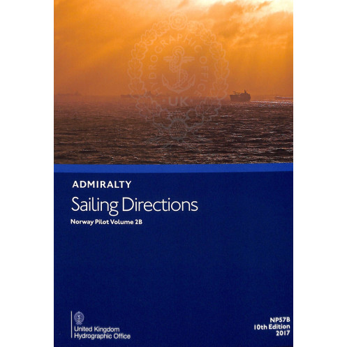




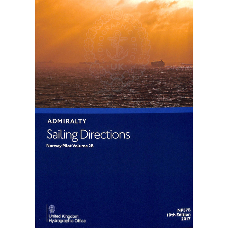
Navigate Norway’s western coast with confidence using this essential sailing guide. Covers Stattlandet to Risværfjorden, detailing ports, hazards, tides, and weather for safe voyages.
Data sheet
Specific References
Sailing Directions: Norway Vol. 2B is a critical navigational resource designed for mariners operating along Norway’s rugged western coast. Covering the region from Stattlandet to Risværfjorden, this publication delivers precise, up-to-date information to ensure safe and efficient passage through one of the world’s most challenging maritime environments. Whether navigating narrow fjords, avoiding submerged hazards, or planning port entries, this guide provides the essential data needed to make informed decisions at sea.
Developed for commercial shipping, fishing vessels, and offshore operators, this volume is part of a globally recognized series trusted by maritime professionals. It consolidates decades of hydrographic expertise into a single, authoritative reference, offering detailed insights into coastal navigation, port facilities, and local regulations. The 11th edition (2022) reflects the latest updates in maritime infrastructure, ensuring compliance with international standards and reducing operational risks.
This guide goes beyond basic charts by providing contextual information that enhances situational awareness. Mariners will find comprehensive details on tidal currents, seasonal weather patterns, ice conditions, and navigational aids, including buoys and lighthouses. It also includes critical warnings about underwater obstructions, restricted zones, and pilotage requirements, allowing crews to plan routes with confidence. The inclusion of port services—such as fuel availability, repair facilities, and waste disposal—further supports operational efficiency for vessels of all sizes.
Unlike generic navigational tools, this publication is tailored to the specific challenges of Norway’s coastal waters. Its structured format organizes information by geographic segments, making it easy to cross-reference with Admiralty charts for a complete navigational picture. The paper version ensures reliability in environments where digital systems may fail, offering a durable, offline solution for vessels operating in remote or high-latitude regions. With coverage extending to latitudes 62°N to 66°N and longitudes 1°E to 15°E, it is an indispensable resource for transiting Norway’s intricate waterways.
As part of a 76-volume series covering navigable waters worldwide, this guide adheres to the highest standards of hydrographic accuracy. It is updated regularly to reflect changes in maritime infrastructure, environmental conditions, and regulatory requirements, ensuring mariners have access to the most current data. For professionals who prioritize safety and precision, this publication is a cornerstone of effective voyage planning and execution.
Navigate Norway’s Western Coast with Confidence
Sailing Directions: Norway Vol. 2B is the definitive navigational reference for mariners traversing Norway’s western seaboard, from Stattlandet to Risværfjorden. Weighing 1.9 kg, this paper edition is built to withstand the demands of life at sea, providing a tangible, reliable resource when digital systems are unavailable. Published in 2022 as part of the 11th edition of the Admiralty Sailing Directions series, it delivers unparalleled accuracy for commercial shipping, fishing fleets, and offshore operations.
Precision Data for Critical Decision-Making
This guide covers a vast stretch of Norway’s coastline, spanning latitudes 62°N to 66°N and longitudes 1°E to 15°E. It includes detailed information on port entries, navigational hazards, and local regulations, ensuring compliance with international maritime standards. Mariners will find essential data on tidal currents, seasonal weather patterns, and ice conditions, all of which are critical for safe passage through Norway’s complex waterways. The publication also highlights pilotage services, buoyage systems, and underwater obstructions, allowing crews to plan routes with precision.
Optimized for Professional Use
Designed for the unique challenges of Norway’s coastal environment, this volume organizes information by geographic segments, making it easy to cross-reference with Admiralty charts. It includes practical details on port facilities, such as fuel availability, repair services, and waste disposal, supporting operational efficiency for vessels of all sizes. The 2022 edition reflects the latest updates in maritime infrastructure, ensuring that mariners have access to the most current and relevant data for their voyages.
Sailing Directions: Norway Vol. 2B is a paper publication in English, weighing 1.9 kg. The 11th edition (2022) covers Norway’s western coast from Stattlandet to Risværfjorden, spanning latitudes 62°N to 66°N and longitudes 1°E to 15°E. Published on July 14, 2022, it provides up-to-date navigational data, including port entries, hazards, and local regulations, ensuring compliance with maritime safety standards.
With over two centuries of hydrographic expertise, this series is the global standard for maritime navigation. Trusted by commercial fleets, naval forces, and offshore operators, these publications are updated regularly to reflect the latest changes in maritime infrastructure and environmental conditions, ensuring accuracy and reliability for professional mariners worldwide.
This volume covers the western coast of Norway, specifically from Stattlandet to Risværfjorden, including key navigational points between latitudes 62°02'N to 66°N and longitudes 1°44'E to 15°E.
The 11th edition, published in 2022, includes the latest navigational data, updated port entries, revised hazard warnings, and current meteorological and regulatory information for the covered region.
It details submerged rocks, shallow waters, strong currents, seasonal ice conditions, and other hazards specific to the coastal and fjord areas along the covered route.
Yes, it provides details on available pilotage services, including contact information, operational zones, and local regulations for vessels requiring assistance.
New editions are released as needed to ensure accuracy, typically every few years, depending on changes in navigational conditions, regulations, or infrastructure updates.
Yes, the guide is designed for all types of vessels, offering essential information for safe navigation, including port facilities, anchorage points, and local maritime regulations.
The printed version weighs approximately 1.9 kg, though exact dimensions are not specified. It is designed for practical onboard use.
You might also like



























































![Admiralty - NP054 - Sailing directions: North Sea [West]](https://www.nautic-way.com/68595-home_default/admiralty-np054-sailing-directions-north-sea-west-maritime-bookshop-nautic-way.jpg)
![Admiralty - NP055 - Sailing directions: North Sea [East]](https://www.nautic-way.com/90871-home_default/admiralty-np055-sailing-directions-north-sea-east-maritime-bookshop-nautic-way.jpg)