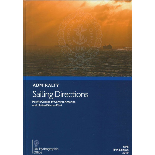




Essential for safe navigation along the Pacific coasts of Central America and the U.S., this sailing directions guide delivers critical port entry and coastal navigation details for mariners.
Data sheet
Specific References
This comprehensive nautical publication delivers critical guidance for safe and efficient coastal navigation and port entry along the Pacific coasts of Central America and the United States. Designed for commercial mariners, shipping professionals, and vessel operators, it provides authoritative, up-to-date information to support decision-making in complex maritime environments. Covering key regions from Panama to the U.S. Pacific Northwest, this volume ensures compliance with international navigation standards while enhancing operational safety.
Developed by a leading hydrographic authority, this publication offers verified nautical data, including detailed descriptions of coastlines, harbors, anchorages, and navigational hazards. It integrates essential information on tides, currents, weather patterns, and local regulations, enabling mariners to plan routes with precision. Whether navigating busy shipping lanes or remote coastal areas, this resource minimizes risks and optimizes voyage efficiency for vessels of all sizes.
From the tropical waters of Central America to the temperate zones of the U.S. Pacific coast, this volume addresses the unique challenges of each region. It includes critical details on port facilities, pilotage requirements, and maritime infrastructure, ensuring seamless operations for commercial shipping, fishing fleets, and offshore industries. The publication’s structured format allows for quick reference, making it an indispensable tool for bridge teams and maritime professionals.
Engineered for durability and ease of use, this printed edition withstands the rigors of onboard environments while providing reliable, offline access to vital navigation data. Its clear, concise presentation supports rapid decision-making in dynamic conditions, reducing the likelihood of errors and enhancing situational awareness. As part of a globally recognized series, it aligns with SOLAS (Safety of Life at Sea) requirements, reinforcing its role as a cornerstone of maritime safety.
This publication is tailored to meet the needs of the maritime industry, offering insights that go beyond basic charts. It includes updates on regulatory changes, environmental considerations, and best practices for sustainable navigation. By integrating this resource into operational protocols, shipping companies and vessel operators can ensure compliance with international maritime laws while maintaining high standards of safety and efficiency.
Unmatched Precision for Pacific Coastal Navigation
Navigate the Pacific coasts of Central America and the United States with confidence using this authoritative *Sailing Directions* volume. Designed for commercial mariners, shipping professionals, and vessel operators, this printed publication delivers verified nautical data for safe and efficient coastal navigation and port entry. Covering critical regions from Panama to the U.S. Pacific Northwest, it provides essential insights into coastlines, harbors, anchorages, and navigational hazards, ensuring compliance with international maritime standards.
Trusted Hydrographic Data for High-Stakes Operations
This volume integrates comprehensive details on tides, currents, weather patterns, and local regulations, enabling precise route planning and risk mitigation. Whether navigating busy shipping lanes or remote coastal areas, mariners rely on its structured format for quick, accurate reference. The publication’s durability and offline accessibility make it a dependable resource for bridge teams, reducing errors and enhancing situational awareness in dynamic maritime environments.
Engineered for Professional Maritime Use
Part of a globally recognized series, this printed edition aligns with SOLAS (Safety of Life at Sea) requirements, reinforcing its role as a cornerstone of maritime safety. It includes updates on regulatory changes, environmental considerations, and best practices for sustainable navigation, ensuring compliance with international maritime laws. With coverage spanning latitudes from 9°N to 48°42’N and longitudes from 83°W to 140°W, it addresses the unique challenges of each region, from tropical waters to temperate zones.
Critical Insights for Port Entry and Coastal Navigation
From detailed descriptions of port facilities to pilotage requirements and maritime infrastructure, this volume supports seamless operations for commercial shipping, fishing fleets, and offshore industries. Its clear, concise presentation ensures rapid decision-making, making it an indispensable tool for professionals who demand reliability and precision in every voyage.
This *Sailing Directions* volume is a printed publication in English, weighing 1.9 kg, and covers the Pacific coasts of Central America and the United States, including key regions from Panama to approximately 48°25’N. Part of a 76-volume series, it provides essential nautical data for coastal navigation and port entry, with editions including the 14th (2016) and 15th (2019). Designed for durability and offline use, it supports compliance with international maritime standards and SOLAS requirements.
With over two centuries of expertise in hydrography and maritime navigation, this publisher is a globally trusted authority in nautical publications. Renowned for its precision, reliability, and adherence to international standards, its resources are essential for commercial mariners, shipping industries, and maritime professionals worldwide. Each publication is meticulously updated to ensure accuracy and compliance with evolving maritime regulations.
The publication covers latitudes from approximately 9°N to 48°42'N and longitudes from about 83°W to 140°W, including the Pacific coasts of Central America and the United States.
Yes, it is available in both paper and digital formats (e-NP).
New editions are released periodically; for example, the 14th edition was published in 2016, and the 15th edition in 2019.
The paper version weighs approximately 1.9 kg.
Yes, it provides crucial navigational information suitable for all types of ships.
Yes, the publication includes information on nearby islands within the specified coverage area.
The complete series consists of 76 volumes.
You might also like


























































![Admiralty - NP054 - Sailing directions: North Sea [West]](https://www.nautic-way.com/68595-home_default/admiralty-np054-sailing-directions-north-sea-west-maritime-bookshop-nautic-way.jpg)
![Admiralty - NP055 - Sailing directions: North Sea [East]](https://www.nautic-way.com/90871-home_default/admiralty-np055-sailing-directions-north-sea-east-maritime-bookshop-nautic-way.jpg)





































































































