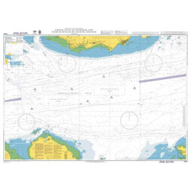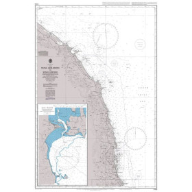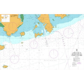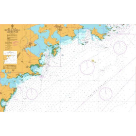




Detailed sailing directions for Korea’s south and east coasts, eastern Siberia, and the Sea of Okhotsk. Covers hazards, port facilities, weather data, and pilotage procedures for safe navigation.
Data sheet
Specific References
Navigate with Confidence in Northeast Asia’s Most Critical Waters
The NP043 Sailing Directions is the definitive paperback guide for professional mariners operating along the South and East Coasts of Korea, the East Coast of Siberia, and the Sea of Okhotsk. Weighing 1.9 kg and spanning over 300 pages, this 2025 edition delivers verified, up-to-date intelligence for safe and efficient navigation in high-traffic commercial routes. Designed for cargo vessels, tankers, and maritime operators, it combines hydrographic precision with practical operational insights to reduce risks and enhance voyage planning.
Engineered for Real-World Maritime Challenges
Covering latitudes from 33°N to 64°N and longitudes from 126°E to 170°E, this guide addresses the unique navigational complexities of Northeast Asia. It provides detailed descriptions of over 50 ports, including Busan, Vladivostok, and Magadan, with critical data on draft restrictions, tidal currents, and pilotage requirements. High-resolution color photographs and accurate visual references allow crews to cross-check landmarks and navigational aids, ensuring precise positioning in areas where GPS signals may be unreliable.
Built for Compliance and Operational Readiness
This publication is more than a navigation aid—it’s a compliance tool. It includes the latest regulations from local maritime authorities, environmental protection zones, and reporting procedures under SOLAS and IMO guidelines. With the 2025 edition, mariners gain access to updated information on Vessel Traffic Services (VTS), restricted areas, and emergency response protocols, helping vessels avoid costly delays and penalties. Its durable paperback format ensures reliability in onboard conditions, making it a trusted resource for bridge teams worldwide.
This 11th edition (2025) paperback guide weighs 1.9 kg and is published in English, covering over 3,000 nautical miles of coastline. It includes detailed port entries, navigational hazards, and regulatory updates for the South and East Coasts of Korea, the East Coast of Siberia, and the Sea of Okhotsk, with high-resolution color photographs and visual references for enhanced situational awareness.
For over two centuries, this hydrographic office has set the global standard for maritime navigation publications. Recognized by the International Hydrographic Organization (IHO), its sailing directions are trusted by commercial fleets, naval forces, and maritime authorities worldwide for their accuracy, reliability, and adherence to international safety standards.
The latest edition covers the south and east coasts of Korea, the east coast of Siberia, and the Sea of Okhotsk, including detailed coastal and port entry information.
Yes, the guide includes color photographs and high-quality coastal views to assist with navigation and port identification.
It is designed for all types of ocean-going vessels, providing essential navigation details for safe coastal and port transit.
New editions are typically released every few years, with the most recent editions being the 11th (2018) and 13th (2025).
Yes, it provides details on local maritime regulations, pilotage procedures, and port facilities for the covered regions.
The printed guide weighs approximately 1.9 kg.
No, the guide is only available in English.
You might also like



























































![Admiralty - NP054 - Sailing directions: North Sea [West]](https://www.nautic-way.com/68595-home_default/admiralty-np054-sailing-directions-north-sea-west-maritime-bookshop-nautic-way.jpg)
![Admiralty - NP055 - Sailing directions: North Sea [East]](https://www.nautic-way.com/90871-home_default/admiralty-np055-sailing-directions-north-sea-east-maritime-bookshop-nautic-way.jpg)