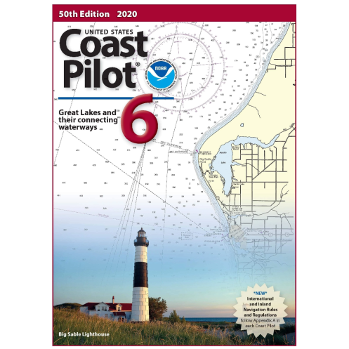




Navigate the Great Lakes and St. Lawrence River with confidence. This detailed guide provides vital data on channels, hazards, weather, and regulations to ensure safe and efficient voyages.
Data sheet
Specific References
This comprehensive nautical guide delivers critical, up-to-date information for mariners navigating the Great Lakes system, including Lakes Ontario, Erie, Huron, Michigan, and Superior, as well as the connecting waters and the St. Lawrence River. Designed to complement nautical charts, it provides detailed descriptions of channels, anchorages, bridge clearances, cable crossings, currents, water levels, and prominent landmarks—everything professional mariners need for safe and efficient navigation.
Developed for professionals in the maritime industry, this publication is an indispensable tool for commercial shipping, tug and barge operations, and large vessel navigation. It includes vital data on pilotage, towing procedures, weather patterns, ice conditions, and federal navigation regulations, ensuring compliance and operational safety in one of North America’s busiest waterway systems.
The guide offers in-depth analysis of potential hazards, traffic separation schemes, and port facilities, including detailed descriptions of docks, marinas, and small boat facilities. Mariners will find precise information on water depths, tidal variations, and navigational aids, reducing risks and enhancing route planning for vessels of all sizes.
Published by the Office of Coast Survey, this edition is updated regularly to reflect the latest hydrographic data, regulatory changes, and environmental conditions. The 2025 edition ensures mariners have access to the most current information, with consolidated navigation rules included for quick reference. Printed on demand, each copy guarantees the latest available data, making it a dependable resource for year-round navigation.
Built to withstand the demands of maritime environments, this printed guide is durable and easy to reference on the bridge or in the field. Its structured format allows for quick access to critical information, whether planning a voyage or making real-time navigation decisions. With coverage spanning over 1,600 miles of waterways, it remains the go-to reference for mariners operating in the Great Lakes and St. Lawrence River region.
Navigate the Great Lakes and St. Lawrence River with Confidence
The *United States Coast Pilot 06* is the definitive nautical reference for mariners operating in the Great Lakes system, covering Lakes Ontario, Erie, Huron, Michigan, and Superior, along with the St. Lawrence River and connecting waters. This essential guide provides detailed, up-to-date information that complements nautical charts, ensuring safe and efficient navigation for commercial vessels, tugboats, and large ships. With its focus on professional maritime operations, it delivers critical data on channels, anchorages, bridge clearances, and underwater hazards, making it an indispensable tool for captains, pilots, and vessel operators.
Engineered for Professional Mariners
Designed specifically for the maritime industry, this publication offers comprehensive coverage of pilotage, towing procedures, weather patterns, and ice conditions—key factors for navigating the Great Lakes and St. Lawrence River. It includes federal navigation regulations, traffic separation schemes, and port infrastructure details, ensuring compliance and operational efficiency. The guide also features consolidated navigation rules, streamlining access to legal requirements for vessel operators.
Precision Data for Safe and Informed Navigation
Weighing 1.8 kg, this printed edition provides mariners with accurate, field-tested information, including water depths, tidal variations, and navigational aids. It highlights potential hazards, such as submerged cables and low bridges, while offering detailed descriptions of docks, marinas, and small boat facilities. Updated annually, the 2025 edition reflects the latest hydrographic surveys and regulatory changes, ensuring reliability for year-round operations in one of North America’s most complex waterway systems.
Built for Durability and On-Demand Accuracy
Printed on demand to guarantee the most current data, this guide is designed to withstand the rigors of maritime environments. Its structured format allows for quick reference, whether planning a voyage or making real-time decisions on the bridge. Covering over 1,600 miles of waterways, it remains the trusted resource for mariners navigating the Great Lakes and St. Lawrence River, combining precision, durability, and ease of use.
The *United States Coast Pilot 06* is a printed nautical guide covering the Great Lakes (Lakes Ontario, Erie, Huron, Michigan, and Superior) and the St. Lawrence River, updated to the 55th edition (2025). Weighing 1.8 kg, it is published in English and printed on demand to ensure the latest available data. The guide includes consolidated navigation rules and is updated annually, with the most recent data as of November 2013, ensuring accuracy for professional maritime operations.
For over two centuries, the Office of Coast Survey has been the authoritative source for nautical information in the United States. As the nation’s premier provider of hydrographic data, it delivers accurate, up-to-date navigation resources for commercial and recreational mariners. Its publications, including the *Coast Pilot* series, are trusted worldwide for their precision, reliability, and commitment to maritime safety.
The latest edition is the 55th, published in 2025. It is available through print-on-demand to ensure up-to-date information.
The content is updated annually, with the latest updates typically released in April.
Yes, it includes amalgamated navigation rules applicable to the Great Lakes and the St. Lawrence River.
The printed book weighs approximately 1.8 kg.
Currently, only a paper format is available, printed on demand to ensure accuracy and relevance.
It includes detailed descriptions of hazards such as underwater obstructions, shallow areas, and other navigational dangers specific to the Great Lakes and St. Lawrence River.
Yes, it provides information on ice conditions, seasonal weather patterns, and other challenges that may affect navigation in the covered regions.
You might also like




























































![Admiralty - NP054 - Sailing directions: North Sea [West]](https://www.nautic-way.com/68595-home_default/admiralty-np054-sailing-directions-north-sea-west-maritime-bookshop-nautic-way.jpg)
![Admiralty - NP055 - Sailing directions: North Sea [East]](https://www.nautic-way.com/90871-home_default/admiralty-np055-sailing-directions-north-sea-east-maritime-bookshop-nautic-way.jpg)