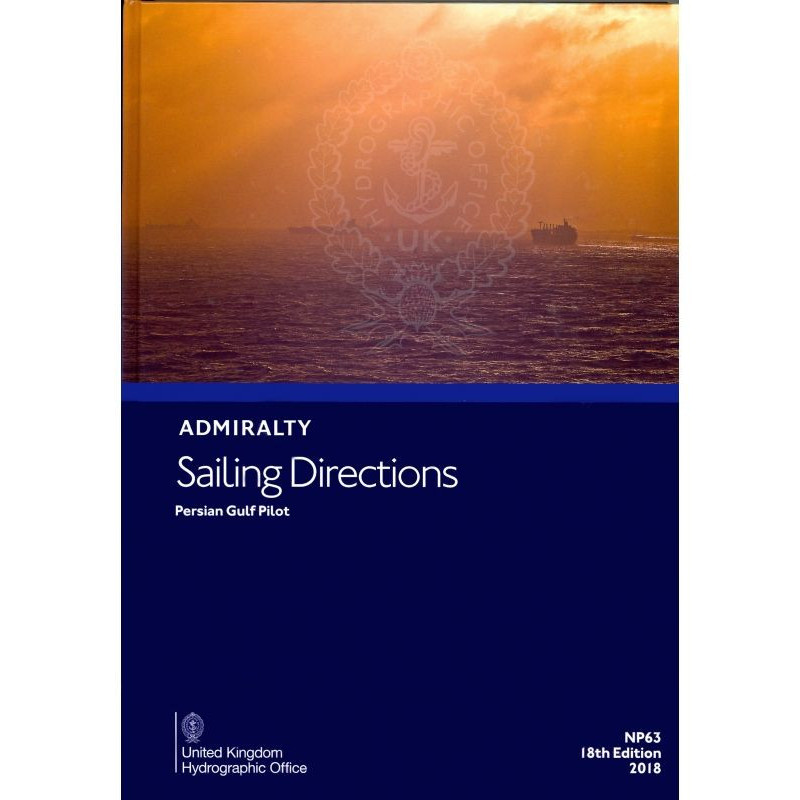


Admiralty - NP063 - Sailing directions: Persian Gulf
search
  • googlemap
  • Admiralty - NP063 - Sailing directions: Persian Gulf

Admiralty - NP063 - Sailing directions: Persian Gulf

€161.80
Tax included
Admiralty - United Kingdom Hydrographic Office

In English language
Estimated preparation time: 5 to 14 days

This sailing directions guide for the Persian Gulf provides vital details on hazards, weather, ports, and regulations. Trusted by merchant vessels for safe and precise navigation.

NP063

Data sheet

What is the classification?
navigation book
Who is the publisher or the author?
Admiralty
On what digital medium is this nautical chart / book stored?
paper medium
From which year does this nautical chart date?
2015 - 17th edition
What type of navigation book is this?
sailing directions
What is the size?
paper medium
Picto
In English language

Specific References

UPC
400000109749
EAN13
4000000107361
New
Description détaillée

Sailing Directions: Persian Gulf – NP063

Publication in English
Paper version

Reliable Navigation Guidance for the Persian Gulf

Navigating the Persian Gulf demands precision, local expertise, and up-to-date maritime intelligence. The *Sailing Directions: Persian Gulf – NP063* delivers comprehensive, field-tested guidance for safe and efficient passage through one of the world’s most strategically vital waterways. Covering the region from Ra’s al Junayz in the southwest to Gwatar Bay in the east, this publication is an indispensable resource for commercial mariners, vessel operators, and maritime professionals.

Critical Insights for Safe Passage

This nautical publication provides detailed, actionable information on navigational hazards, buoyage systems, and local weather patterns—essential for avoiding risks in a region known for its complex currents, shallow waters, and high-traffic shipping lanes. It includes in-depth coverage of pilotage requirements, port entry procedures, and regulatory frameworks, ensuring compliance with local maritime laws and international standards. Whether navigating near major oil terminals, industrial ports, or remote anchorages, mariners gain access to verified data that enhances situational awareness and operational safety.

Designed for Commercial Shipping Operations

Engineered for the needs of merchant vessels of all classes, *NP063* complements standard nautical charts by offering contextual, real-world insights that charts alone cannot provide. It details port facilities, cargo handling capabilities, and logistical support available across the Gulf, enabling efficient voyage planning and smoother port calls. The publication also includes guidance on emergency procedures, communication protocols, and local maritime services, making it a trusted companion for crews operating in unfamiliar or high-risk areas.

Trusted Source for Maritime Professionals

As part of a globally recognized series of 76 volumes, this publication upholds the highest standards of accuracy and reliability. Regularly updated to reflect changes in infrastructure, regulations, and environmental conditions, it ensures mariners have access to the most current information available. The paper format provides a durable, offline reference that remains accessible even in areas with limited digital connectivity, making it a dependable tool for vessels operating in remote or challenging environments.

Precision-Crafted for the Persian Gulf

With coverage spanning latitudes 22°42'N to 32°32'N and longitudes 45°E to 61°42'E, *NP063* delivers targeted intelligence for the entire Gulf region. From the Strait of Hormuz to the northern reaches near Kuwait and Iraq, the publication offers localized insights that support safe navigation, efficient route planning, and compliance with regional maritime practices. For commercial operators, this means reduced risk, improved operational efficiency, and enhanced confidence when transiting one of the world’s most critical maritime corridors.

Navigate the Persian Gulf with confidence using the *Sailing Directions: Persian Gulf – NP063*
This authoritative nautical publication is the go-to resource for commercial mariners operating in the Persian Gulf, offering unparalleled depth of information for safe and efficient navigation. Designed to support vessels of all sizes, from container ships to tankers, *NP063* provides critical insights into navigational hazards, port facilities, and local regulations—ensuring compliance and reducing operational risks in one of the world’s busiest maritime regions.

Comprehensive coverage for a high-stakes waterway
Spanning from Ra’s al Junayz in the southwest to Gwatar Bay in the east, this publication covers the entire Persian Gulf, including the strategically vital Strait of Hormuz. With detailed guidance on buoyage systems, weather patterns, and pilotage requirements, it equips mariners with the knowledge needed to navigate safely through shallow waters, high-traffic lanes, and environmentally sensitive areas. The publication also includes up-to-date information on port infrastructure, cargo handling capabilities, and emergency procedures, making it an essential tool for voyage planning and execution.

Built for professional mariners, backed by global standards
As part of a series of 76 volumes, *NP063* adheres to the rigorous standards set by the maritime industry, ensuring accuracy and reliability. The 17th edition, published in 2021, reflects the latest updates in regional infrastructure, regulations, and environmental conditions. Weighing 1.9 kg, this paper version is designed for durability and ease of use, providing a dependable offline reference that remains accessible even in areas with limited digital connectivity. Whether navigating near major oil terminals or remote anchorages, this publication delivers the precision and detail required for safe and efficient operations.

The *Sailing Directions: Persian Gulf – NP063* is a paper-based nautical publication in English, weighing 1.9 kg. It covers the Persian Gulf region from latitudes 22°42'N to 32°32'N and longitudes 45°E to 61°42'E, providing detailed guidance for commercial navigation. Part of a 76-volume series, this 17th edition was published in 2021 and remains a trusted resource for mariners operating in the Gulf.

With a legacy spanning over two centuries, this publisher is a global leader in maritime navigation and hydrographic services. Renowned for its precision, reliability, and adherence to international standards, its publications are trusted by commercial fleets, naval forces, and maritime authorities worldwide. Each volume is meticulously updated to reflect the latest navigational data, ensuring mariners have access to the most accurate and actionable information available.

  • Enhances navigational safety with verified, up-to-date intelligence
  • Supports compliance with local and international maritime regulations
  • Provides detailed port entry procedures and facility information
  • Offers offline accessibility in a durable, paper-based format
  • Covers high-risk areas with localized insights for improved situational awareness
  • Complements nautical charts with real-world operational guidance
  • Regularly updated to reflect changes in infrastructure and environmental conditions
What areas are covered in the sailing directions for the Persian Gulf?

The sailing directions cover the Persian Gulf and its approaches, from Ra's al Junayz in the southwest to Gwatar Bay in the east.

What type of vessels are these sailing directions designed for?

These sailing directions are designed for merchant vessels of all classes.

Are there details on port entry procedures included?

Yes, the publication includes entry guides for major ports within the covered region.

What is the weight of the printed sailing directions?

The printed version weighs 1.9 kilograms.

What specific navigational hazards are addressed in this publication?

It provides detailed information on navigational hazards, buoys, pilotage, and weather conditions in the Persian Gulf.

How many volumes are included in the complete series of sailing directions?

The complete series includes 76 volumes.

What are the exact latitude and longitude boundaries covered?

The coverage spans latitudes from 22.42°N to 32°N and longitudes from 45°E to 61.42°E.

Loading...