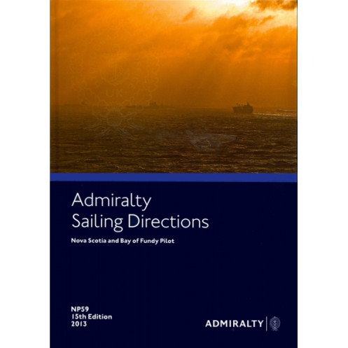




Master coastal navigation in Nova Scotia and the Bay of Fundy with this comprehensive guide. Includes hazards, markings, port facilities, and seasonal conditions for safer, smarter voyages.
Data sheet
Specific References
Navigate with Precision Using the Definitive Guide to Nova Scotia and the Bay of Fundy
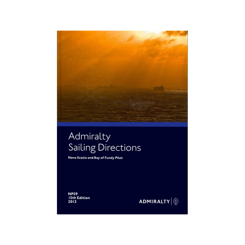
Sailing Directions: Nova Scotia and Bay of Fundy is the go-to resource for mariners navigating one of North America’s most critical maritime regions. Covering the southeastern coast of Nova Scotia, the Bay of Fundy, Sable Island, and surrounding banks, this publication provides the detailed, up-to-date information needed to ensure safe and efficient voyages. Whether you're a commercial vessel operator, a shipping company, or a maritime professional, this guide delivers the essential data to navigate with confidence in both routine and complex conditions.
Comprehensive Coverage for Every Voyage
This guide offers an in-depth look at the region’s unique challenges, including navigation hazards, aids to navigation, and port facilities. It details seasonal currents, ice conditions, and weather patterns, allowing mariners to plan voyages with accuracy. Regulatory requirements and general country notes are also included, making it an indispensable tool for international shipping and regional operations. With continuous updates, this publication ensures you have the most current hydrographic data at your fingertips.
Built for Professional Mariners
Designed for the demands of commercial shipping, this paper edition is durable and easy to reference onboard. Weighing 1.9 kg, it is structured for quick access to critical information, ensuring seamless integration with standard nautical charts. As part of a global series of 76 volumes, it provides consistent and reliable coverage across all navigable waters, making it a trusted companion for vessels of all sizes.
Precision Navigation for Challenging Waters
The 15th edition of this guide, published in 2013, covers a geographic area spanning latitudes 46° to 36° N and longitudes 67.58° to 40° W. This includes key maritime routes, ports, and coastal features, ensuring comprehensive support for navigation in the region. Whether you're navigating the Bay of Fundy’s powerful tides or the intricate coastal waters of Nova Scotia, this publication provides the insights needed to operate safely and efficiently.
This nautical guide is a paper publication in English, offering detailed coverage of the southeastern coast of Nova Scotia and the Bay of Fundy, including Sable Island and surrounding banks. Weighing 1.9 kg, it is part of a global series of 76 volumes, ensuring consistent and reliable data for mariners. The 15th edition, published in 2013, provides up-to-date information on navigation hazards, port facilities, seasonal currents, and weather conditions.
The United Kingdom Hydrographic Office is a globally recognized authority in maritime navigation, providing accurate and reliable hydrographic data to support safe and efficient voyages. With a legacy of excellence, their publications are trusted by maritime professionals worldwide, ensuring vessels can navigate with confidence in all conditions.
This guide covers the southeast coast of Nova Scotia, the Bay of Fundy, including Sable Island and surrounding banks.
Yes, it provides details on seasonal currents, as well as ice and climatic conditions in the covered region.
It is designed for all types of vessels, offering guidance on coastal navigation and port entry.
Yes, it includes information on port facilities, along with navigation hazards, markings, and local regulations.
This publication is continuously revised, with new editions released periodically to ensure up-to-date navigation information.
The paperback edition weighs approximately 1.9 kg.
Yes, it is one of 74 to 76 volumes covering all navigable waters worldwide.
You might also like



























































![Admiralty - NP054 - Sailing directions: North Sea [West]](https://www.nautic-way.com/68595-home_default/admiralty-np054-sailing-directions-north-sea-west-maritime-bookshop-nautic-way.jpg)
![Admiralty - NP055 - Sailing directions: North Sea [East]](https://www.nautic-way.com/90871-home_default/admiralty-np055-sailing-directions-north-sea-east-maritime-bookshop-nautic-way.jpg)