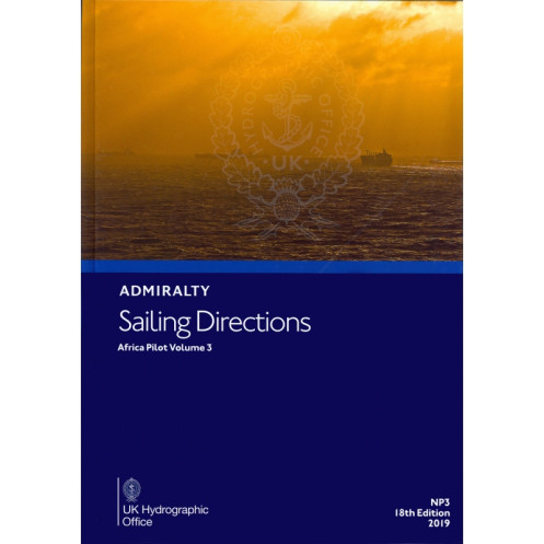




Navigate Africa’s southern and eastern coasts confidently with this essential guide. Covers Cape Agulhas to Ras Binnah, detailing ports, hazards, and seasonal weather for merchant ships.
Data sheet
Specific References
Navigate Africa’s Southern and Eastern Coasts with Confidence
Sailing Directions: Africa Volume 3 is a vital nautical publication designed to support merchant vessels navigating the challenging waters from Cape Agulhas to Ras Binnah, including the islands of Zanzibar and Pemba. Weighing 1.9 kg, this paperback edition is part of the globally trusted Admiralty Sailing Directions series, offering mariners a reliable and comprehensive resource for safe and efficient passage. Updated in 2019, it ensures access to the latest navigational data, making it an indispensable tool for professionals in the maritime industry.
Comprehensive Coverage for Complex Maritime Environments
This volume provides detailed guidance on port entries, coastal navigation, and critical hazards, ensuring vessels can operate safely in diverse conditions. It includes essential information on buoyage systems, pilotage requirements, local regulations, and seasonal currents, all tailored to the unique challenges of African waters. The publication is engineered to complement standard nautical charts, offering an additional layer of precision for mariners navigating these dynamic regions.
Trusted by Maritime Professionals Worldwide
As one of 76 volumes in the Admiralty Sailing Directions series, this publication adheres to the highest standards of accuracy and reliability. It is regularly updated to reflect changes in maritime infrastructure, environmental conditions, and regulatory requirements, ensuring mariners have access to the most current and relevant data. Whether navigating busy trade routes or remote coastal areas, this volume provides the clarity and confidence needed for successful voyages.
This 2019 edition of Sailing Directions: Africa Volume 3 is a paperback publication weighing 1.9 kg, providing comprehensive coverage of the southern and eastern coasts of Africa, from Cape Agulhas to Ras Binnah. It includes critical navigational data such as port entries, buoyage systems, pilotage procedures, and seasonal currents, all presented in English. Part of a 76-volume series, this publication is designed to complement standard nautical charts and support safe navigation for merchant vessels.
The United Kingdom Hydrographic Office is a world leader in maritime data and nautical publications, providing trusted resources for safe and efficient navigation. With a legacy of precision and reliability, their publications are used by maritime professionals globally, ensuring compliance with international standards and supporting vessels in even the most challenging waters.
The publication covers latitudes from 8°N to 45°S and longitudes from 20°E to 61.33°E, including specific coordinates for key locations along the southern and eastern African coasts.
Yes, it includes comprehensive information on seasonal currents and climatic conditions relevant to navigation in the covered region.
These directions are designed for merchant vessels of all classes, providing essential navigation details for safe passage.
New editions are released periodically to ensure updated navigational information. The latest edition is from 2019, with the previous edition published in 2013.
Yes, it provides detailed guidance on port entry procedures, including pilotage, regulations, and navigational hazards.
The publication weighs 1.9 kg in its paper format.
Yes, it is part of a series of 76 volumes covering navigable waters worldwide.
You might also like


























































![Admiralty - NP054 - Sailing directions: North Sea [West]](https://www.nautic-way.com/68595-home_default/admiralty-np054-sailing-directions-north-sea-west-maritime-bookshop-nautic-way.jpg)
![Admiralty - NP055 - Sailing directions: North Sea [East]](https://www.nautic-way.com/90871-home_default/admiralty-np055-sailing-directions-north-sea-east-maritime-bookshop-nautic-way.jpg)






































































































