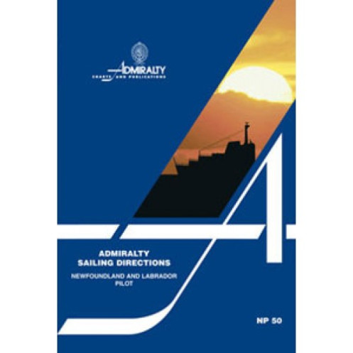




Navigate Newfoundland and Labrador with confidence using this detailed guide, covering hazards, pilotage, port facilities, and regulations. Ideal for commercial vessels and mariners.
Data sheet
Specific References
Navigate Newfoundland and Labrador with Confidence
The Sailing Directions: Newfoundland and Labrador NP050 is a cornerstone resource for commercial mariners operating in the North Atlantic’s most demanding waters. This printed guide delivers unparalleled accuracy and depth, covering over 2,000 nautical miles of coastline, including critical passages like the Strait of Belle Isle and the approaches to major ports such as St. John’s and Sept-Îles. Designed for vessels ranging from container ships to bulk carriers, NP050 ensures compliance with international maritime standards while optimizing route planning and port calls.
Precision Data for High-Stakes Navigation
Weighing 1.9 kg, this 14th edition (2016) or 15th edition (2025) publication is meticulously curated to address the unique challenges of the region, from shifting ice conditions to complex tidal currents. It includes coordinates spanning latitudes 45.33°N to 59.98°N and longitudes 20°W to 65°W, providing comprehensive coverage of Newfoundland’s rugged shores and Labrador’s remote inlets. The guide’s detailed hydrographic data—such as depth soundings, seabed composition, and magnetic variation—enables mariners to avoid hazards like uncharted shoals or submerged rocks, which are prevalent in these waters.
Operational Intelligence for Ports and Anchorage
Beyond coastal navigation, NP050 offers in-depth port profiles, including terminal specifications, cargo-handling facilities, and local maritime regulations. For example, the guide outlines pilotage requirements for the Port of Corner Brook, where draft restrictions and tidal windows demand precise planning. High-resolution photographs and annotated coastal views further aid in visual identification of landmarks, reducing reliance on electronic systems in areas with limited GPS coverage. This level of detail is critical for vessels transiting the Labrador Sea, where weather and ice conditions can change rapidly.
Built for the Demands of Commercial Shipping
Published by the UK Hydrographic Office, NP050 adheres to the highest standards of maritime cartography, ensuring compatibility with Admiralty charts and global navigation systems. Its printed format guarantees accessibility in all conditions, from engine room blackouts to extreme weather, making it a fail-safe companion for bridge crews. With updates every 5–10 years, mariners can trust that the information reflects the latest hydrographic surveys, port expansions, and regulatory changes—such as new traffic separation schemes or environmental protection zones.
Sailing Directions: Newfoundland and Labrador NP050 is a printed navigation guide weighing 1.9 kg, available in the 14th edition (2016) or the latest 15th edition (2025). Published in English, it covers latitudes 45.33°N to 59.98°N and longitudes 20°W to 65°W, providing detailed hydrographic and operational data for commercial vessels navigating Newfoundland, Labrador, and the Strait of Belle Isle.
With over two centuries of expertise, the publisher behind this navigation guide is a global leader in maritime data, supplying hydrographic solutions to commercial fleets, naval forces, and port authorities worldwide. Their publications are recognized for their accuracy, reliability, and adherence to international standards, making them a trusted resource for safe and efficient navigation in all oceanic regions.
These sailing directions cover the coasts of Newfoundland, including Saint Pierre and Miquelon islands, the Strait of Belle Isle, and the Labrador coast.
Yes, the guide provides comprehensive information on navigational hazards, including aids to navigation, pilotage services, and port regulations.
The guide features color photographs, coastal views, and detailed port entry guides for major harbors.
Yes, it is designed for merchant vessels of all classes navigating in oceanic and coastal waters.
The printed version weighs approximately 1.9 kg.
New editions are typically released every few years, with the latest editions being the 14th (2016) and 15th (2025).
Yes, the guide includes precise latitude and longitude coordinates for the covered region, ranging from approximately 45°N to 56°N and 20°W to 65°W.
You might also like


























































![Admiralty - NP054 - Sailing directions: North Sea [West]](https://www.nautic-way.com/68595-home_default/admiralty-np054-sailing-directions-north-sea-west-maritime-bookshop-nautic-way.jpg)
![Admiralty - NP055 - Sailing directions: North Sea [East]](https://www.nautic-way.com/90871-home_default/admiralty-np055-sailing-directions-north-sea-east-maritime-bookshop-nautic-way.jpg)





































































































