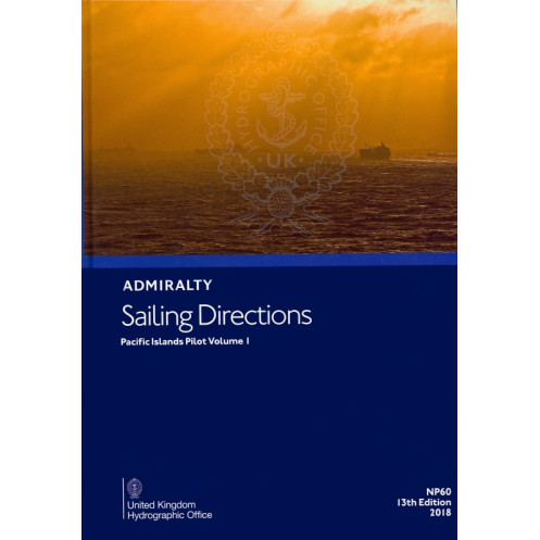




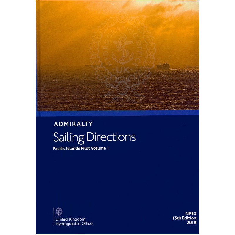
Essential sailing directions for the Pacific Islands, including the Solomon Islands, Micronesia, and Guam. This official paper guide ensures safe coastal and port navigation for all vessels.
Data sheet
Specific References
Navigate the vast and complex waters of the Pacific Islands with confidence using *Sailing Directions: Pacific Islands Vol. 1*. This official nautical publication delivers critical, up-to-date information for safe coastal navigation and port entry across a broad region, including the Solomon Islands, the northeastern coast of Papua New Guinea, the Federated States of Micronesia, the Republic of Palau, Guam, the Commonwealth of the Northern Mariana Islands, Oki-no-Tori Shima (Japan), and other key locations. Designed for professional mariners, commercial vessels, and maritime operators, this volume ensures compliance with international navigation standards while providing the detailed insights needed to traverse these challenging waters.
As a cornerstone of maritime navigation, *Sailing Directions: Pacific Islands Vol. 1* is meticulously curated by hydrographic experts to support the needs of the merchant marine industry. This publication is an indispensable tool for captains, navigators, and shipping companies, offering verified data that aligns with global maritime safety protocols. Whether navigating commercial routes, planning port calls, or ensuring regulatory compliance, this volume provides the accuracy and reliability required for professional operations in the Pacific.
This volume covers a vast and strategically important region, spanning latitudes from 22.5°N to 14°S and longitudes from 130°E to 164°E. It includes detailed guidance on coastal features, harbor approaches, tidal patterns, and local hazards, ensuring mariners have the information needed to make informed decisions. The publication is structured to facilitate quick reference, with clear charts, descriptions, and warnings tailored to the unique challenges of the Pacific Islands. From shallow reefs to deep-water channels, this guide equips navigators with the knowledge to avoid risks and optimize routes.
Published in its 12th edition (2012) and updated to reflect the latest hydrographic data, *Sailing Directions: Pacific Islands Vol. 1* is a trusted resource for mariners who demand precision. The paper version ensures accessibility even in remote or low-connectivity environments, making it a dependable companion for vessels operating far from digital infrastructure. With a weight of 1.9 kg, this durable publication is designed to withstand the rigors of life at sea while providing consistent performance in all conditions.
Tailored to the needs of the merchant marine, this publication goes beyond basic navigation aids to offer strategic insights for commercial shipping. It includes essential details on port facilities, pilotage services, and local regulations, enabling vessels to streamline operations and reduce downtime. By integrating this volume into their navigation protocols, shipping companies can enhance safety, improve efficiency, and ensure seamless voyages across the Pacific Islands. Whether for routine transit or complex maneuvers, *Sailing Directions: Pacific Islands Vol. 1* is the professional’s choice for navigating one of the world’s most dynamic maritime regions.
Navigate the Pacific with Precision and Confidence
Discover Sailing Directions: Pacific Islands Vol. 1, the definitive paper-based nautical guide for professional mariners operating in the Pacific Islands. This 12th edition publication, weighing 1.9 kg, is an official resource designed to support safe and efficient navigation across a vast region, from the Solomon Islands to the Northern Mariana Islands. With coverage spanning latitudes 22.5°N to 14°S and longitudes 130°E to 164°E, this volume provides unparalleled insights into coastal features, harbor approaches, and local hazards, ensuring vessels can navigate with accuracy and compliance.
Engineered for Professional Maritime Operations
This publication is tailored to meet the demands of the merchant marine industry, offering verified data that aligns with international maritime safety standards. It includes detailed descriptions of tidal patterns, port facilities, and pilotage services, enabling captains and navigators to make informed decisions and optimize routes. The paper format ensures reliability in remote or low-connectivity environments, making it an essential tool for vessels operating far from digital infrastructure.
Comprehensive and Up-to-Date Navigation Data
Updated to reflect the latest hydrographic surveys, Sailing Directions: Pacific Islands Vol. 1 delivers accurate and current information for navigating one of the world’s most complex maritime regions. The publication is structured for quick reference, with clear charts and warnings that highlight potential risks, such as shallow reefs and deep-water channels. Whether planning a port call or transiting open waters, this guide equips mariners with the knowledge to avoid hazards and ensure smooth, efficient voyages.
Built for Durability and Performance at Sea
Designed to withstand the rigors of maritime environments, this 1.9 kg paper publication is built for longevity and ease of use. Its robust construction ensures it remains a dependable resource throughout extended voyages, providing consistent performance in all conditions. By integrating this volume into their navigation protocols, shipping companies can enhance safety, reduce operational risks, and streamline their maritime operations across the Pacific Islands.
This official nautical publication, Sailing Directions: Pacific Islands Vol. 1, is the 12th edition (2012) and provides comprehensive guidance for navigating the Pacific Islands. Weighing 1.9 kg, it covers a vast region from latitudes 22.5°N to 14°S and longitudes 130°E to 164°E, including critical areas such as the Solomon Islands, Papua New Guinea, and the Northern Mariana Islands. Published in English and available in a durable paper format, this volume is an essential resource for professional mariners seeking accurate and up-to-date navigation data.
With a legacy of excellence in hydrographic services, this publisher is a global leader in providing official nautical publications and maritime data. Renowned for their precision and reliability, their publications are trusted by professional mariners, shipping companies, and naval forces worldwide. Each volume is meticulously curated to meet international navigation standards, ensuring safety and efficiency for vessels operating in some of the world’s most challenging waters.
This volume covers the Solomon Islands, the northeastern coast of Papua New Guinea and adjacent islands, the Federated States of Micronesia, the Republic of Palau, Guam, the Commonwealth of the Northern Mariana Islands, Oki-no-Tori Shima (Japan), and other nearby areas.
Yes, it provides essential navigation information for all types of ships, including commercial and recreational vessels.
The publication weighs approximately 1.9 kilograms.
Yes, the latest available edition is the 13th, published in 2018, which may include updated navigational information and corrections.
The covered area spans latitudes from 22.5°N to 14°S and longitudes from 130°E to 164°E.
No, this edition is only available in English.
You might also like



























































![Admiralty - NP054 - Sailing directions: North Sea [West]](https://www.nautic-way.com/68595-home_default/admiralty-np054-sailing-directions-north-sea-west-maritime-bookshop-nautic-way.jpg)
![Admiralty - NP055 - Sailing directions: North Sea [East]](https://www.nautic-way.com/90871-home_default/admiralty-np055-sailing-directions-north-sea-east-maritime-bookshop-nautic-way.jpg)