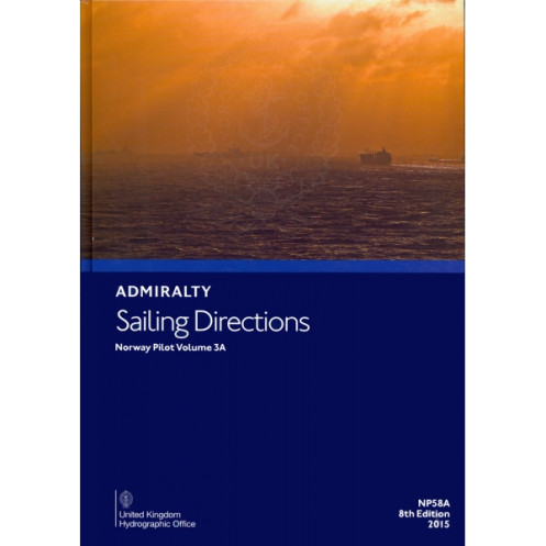




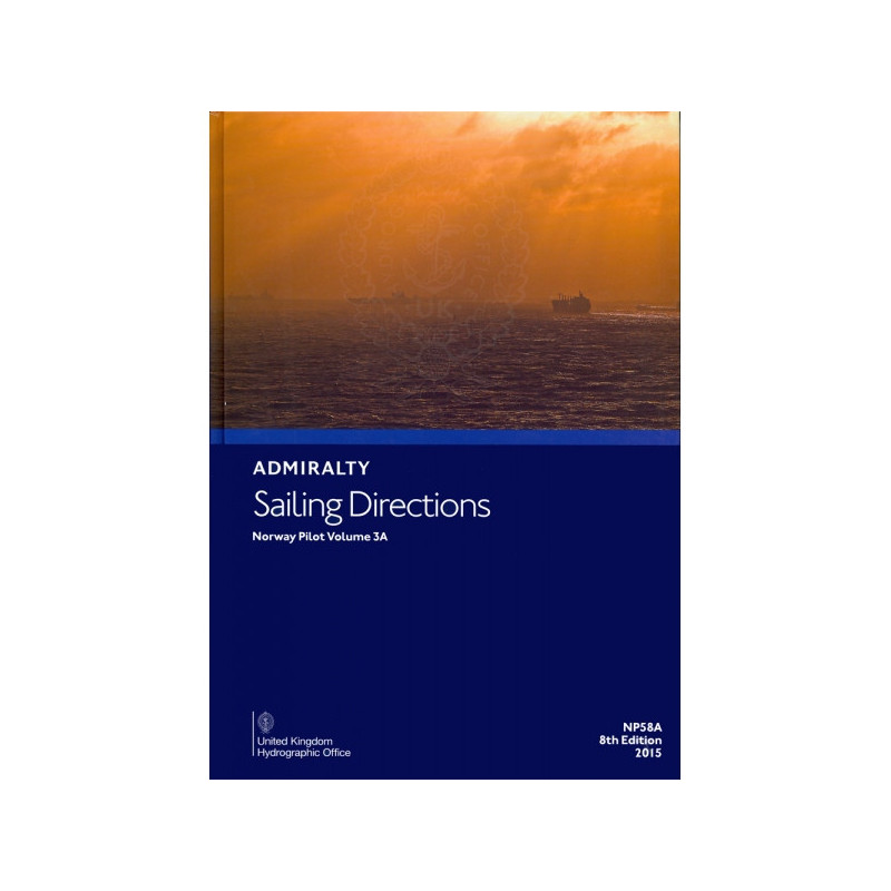
This essential sailing guide covers Norway’s coast from Risværfjorden to northern Vesterålen, detailing hazards, markings, ports, and weather for safe and precise navigation.
Data sheet
Specific References
Navigate Norway’s Northern Waters with Confidence
When precision and reliability are non-negotiable, *Sailing Directions: Norway Vol. 3A* stands as the definitive navigational resource for mariners operating along Norway’s northern coastline. This 10th edition (2022) publication is meticulously crafted to provide commercial vessels with the critical information needed to traverse the complex waters from Risværfjorden to the northern Vesterålen archipelago. Weighing 1.9 kg, this paperback guide is designed for durability and ease of use on the bridge, ensuring that vital data is always at your fingertips.
Comprehensive Coverage for High-Stakes Navigation
Northern Norway’s waters are among the most challenging in the world, characterized by narrow fjords, unpredictable weather, and strong currents. This guide addresses these challenges with unparalleled detail, covering navigational hazards, buoyage systems, pilotage procedures, and port facilities. It also includes essential information on local regulations, meteorological conditions, and tidal data, all presented in a clear, accessible format. High-resolution color photographs and coastal views further enhance situational awareness, allowing mariners to identify key landmarks and potential dangers with precision.
Designed for Professional Mariners
Tailored for the merchant marine industry, *Sailing Directions: Norway Vol. 3A* is an indispensable tool for vessels of all classes. It complements standard Admiralty nautical charts by providing contextual information that charts alone cannot offer, such as recommended routes, traffic separation schemes, and local best practices. Regular updates ensure that you’re always working with the most current data, a critical factor in an environment where conditions can change rapidly. Whether you’re planning a voyage or navigating in real-time, this guide equips you with the knowledge to make informed decisions and avoid costly errors.
Built to Withstand the Demands of Maritime Life
Engineered for the rigors of daily use on the bridge, this paperback edition is designed to endure the challenges of a maritime environment. Its robust construction ensures longevity, while the intuitive layout allows for quick and easy reference. From voyage planning to real-time navigation, this guide is built to support mariners in every phase of their journey, reducing the risk of miscommunication or oversight during critical operations.
This essential navigational guide covers the offshore and coastal waters of Norway from Risværfjorden to the northern part of the Vesterålen archipelago, providing critical data for safe passage. Weighing 1.9 kg, the paperback edition is designed for durability and ease of use on the bridge. The 10th edition (2022) includes detailed information on navigational hazards, buoyage systems, pilotage procedures, port facilities, local regulations, and meteorological data, all presented in English. High-quality color photographs and coastal views enhance situational awareness, making it an indispensable tool for professional mariners.
The United Kingdom Hydrographic Office has been a global leader in maritime navigation for over two centuries, providing accurate and reliable hydrographic data to mariners worldwide. Renowned for its commitment to safety and precision, the office produces a comprehensive range of navigational publications and charts that are trusted by commercial fleets, naval forces, and maritime authorities. Their products are designed to meet the highest international standards, ensuring that mariners have the tools they need to navigate safely and efficiently in even the most challenging environments.
This volume covers the offshore and coastal waters of Norway from Risværfjorden to the northern part of Vesterålen.
Yes, the latest edition (10th edition, 2022) is regularly updated to ensure accuracy and relevance.
The guide includes color photographs and high-quality coastal views to assist with navigation.
The paper version weighs 1.9 kg.
This volume includes areas previously covered in NP 58 Norway Pilot, Part 3 (SAR 1/58) up until 1969.
No, there are no supplements included with this edition.
This guide is designed for merchant vessels of all classes.
You might also like



























































![Admiralty - NP054 - Sailing directions: North Sea [West]](https://www.nautic-way.com/68595-home_default/admiralty-np054-sailing-directions-north-sea-west-maritime-bookshop-nautic-way.jpg)
![Admiralty - NP055 - Sailing directions: North Sea [East]](https://www.nautic-way.com/90871-home_default/admiralty-np055-sailing-directions-north-sea-east-maritime-bookshop-nautic-way.jpg)