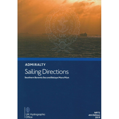




Essential for mariners, this sailing guide covers the Barents and White Seas with detailed port entry instructions, navigational hazards, weather data, and local regulations for safe voyages.
Data sheet
Specific References
Navigate the challenging waters of the Barents Sea and White Sea with confidence using the NP072 Sailing Directions. This essential nautical publication delivers critical, up-to-date information tailored for commercial mariners, ship operators, and naval professionals. Designed to ensure safe and efficient voyages, this guide covers the southern Barents Sea and the White Sea (Beloye More), including the Russian Federation coastline from Reka Vor'yema to Mys Belyy Nos, as well as the Proliv Yugorskiy Shar strait.
This sailing direction provides in-depth coverage of coastal navigation, port entry procedures, and key maritime infrastructure. It includes high-resolution color photographs and visual aids to help mariners identify landmarks, navigational hazards, and safe passage routes. With precise details on buoys, beacons, and other aids to navigation, the NP072 ensures vessels can maneuver safely in both open waters and confined port approaches.
Stay informed with comprehensive meteorological and oceanographic data, including tidal streams, currents, and ice conditions. The guide also outlines local maritime regulations, pilotage requirements, and port facility details, enabling crews to comply with regional laws and operational best practices. Whether navigating through ice-prone areas or preparing for port calls, this publication equips mariners with the knowledge needed to make informed decisions.
As part of the Admiralty Sailing Directions series, the NP072 is designed to complement standard nautical charts, offering narrative descriptions and practical insights that charts alone cannot provide. Regularly updated through Notices to Mariners, this guide ensures that navigators have access to the latest corrections and amendments, maintaining accuracy and reliability for safe passage planning.
Engineered for the demanding maritime environment, this hardback edition is built to withstand frequent use on the bridge. Its sturdy construction ensures longevity, while the clear, organized layout allows for quick reference during voyages. Whether used for voyage planning or real-time navigation, the NP072 is an indispensable tool for professionals operating in the Barents and White Sea regions.
Navigate the Arctic Waters with Precision
The NP072 Sailing Directions: Barents Sea and White Sea is a vital resource for mariners operating in one of the world’s most challenging maritime environments. This authoritative guide provides unparalleled insights into the southern Barents Sea and the White Sea, covering critical areas such as the Russian Federation coastline from Reka Vor'yema to Mys Belyy Nos and the strategic Proliv Yugorskiy Shar strait. Designed for commercial shipping, fishing vessels, and naval operations, this publication ensures safe and efficient navigation in ice-prone and remote waters.
Engineered for Professional Mariners
Weighing 1.9 kg, this hardback edition is built to endure the rigors of life at sea, offering durability and ease of use on the bridge. The 2019 fourth edition reflects the latest hydrographic data, ensuring compliance with international maritime standards. With a focus on practicality, the guide includes high-resolution color photographs, detailed coastal views, and visual aids to help crews identify key landmarks and navigational hazards. Whether planning a voyage or navigating in real-time, this publication provides the critical information needed to avoid dangers and optimize route planning.
Comprehensive Coverage for Safe Operations
Beyond basic navigation, the NP072 delivers essential details on local regulations, pilotage requirements, and port facilities, enabling vessels to comply with regional laws and operational protocols. It also includes meteorological and oceanographic data, such as tidal streams, currents, and ice conditions, which are crucial for safe passage in Arctic waters. Updated regularly through Notices to Mariners, this guide ensures that mariners have access to the most current information, making it an indispensable companion to Admiralty nautical charts.
This 2019 fourth edition of the NP072 Sailing Directions is a hardback publication in English, weighing 1.9 kg. It covers the southern Barents Sea and the White Sea, including the Russian Federation coastline from Reka Vor'yema to Mys Belyy Nos and the Proliv Yugorskiy Shar strait. Designed for professional use, it includes color photographs, navigational hazards, buoy details, weather data, pilotage information, and port entry guides.
The United Kingdom Hydrographic Office is a globally recognized authority in maritime navigation, providing accurate and reliable hydrographic data to commercial and naval fleets worldwide. With a legacy of excellence, their publications, including the Admiralty Sailing Directions series, are trusted by mariners for safe and efficient voyage planning in even the most challenging waters.
This guide covers the southern Barents Sea and the White Sea (Beloye More), including the coast of the Russian Federation from Reka Vor'yema to Mys Belyy Nos, as well as the Proliv Yugorskiy Shar.
Yes, it provides details on port facilities, pilotage, regulations, and entry guides for major ports in the covered regions.
Yes, it includes color photographs and coastal views to assist with navigation and identification of key landmarks.
The guide is regularly updated through Notices to Mariners to ensure the information remains current and accurate.
The guide weighs approximately 1.9 kilograms.
Yes, a digital version (e-NP) is available in addition to the paper format.
This guide is bound in a hardback format for durability.
You might also like












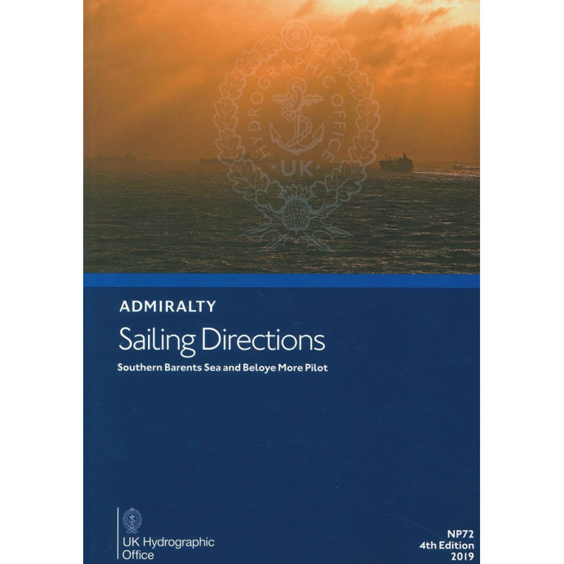















































![Admiralty - NP054 - Sailing directions: North Sea [West]](https://www.nautic-way.com/68595-home_default/admiralty-np054-sailing-directions-north-sea-west-maritime-bookshop-nautic-way.jpg)
![Admiralty - NP055 - Sailing directions: North Sea [East]](https://www.nautic-way.com/90871-home_default/admiralty-np055-sailing-directions-north-sea-east-maritime-bookshop-nautic-way.jpg)




































































































