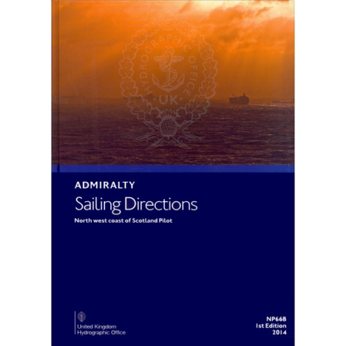




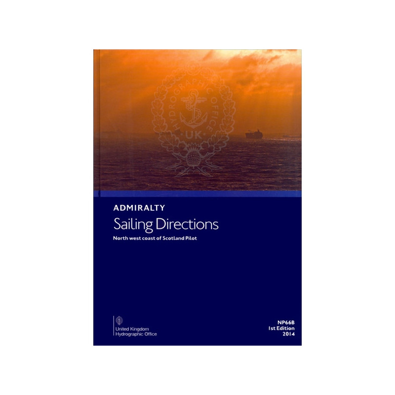
This pilot guide for Scotland’s North West Coast delivers vital details on hazards, port facilities, and weather. Essential for safe and precise navigation in these challenging waters.
Data sheet
Specific References
Navigate Scotland’s Northwest Coast with Confidence
The *Sailing Directions: North West Coast of Scotland Pilot* is a meticulously crafted navigation aid, engineered to support mariners in one of the most complex and scenic maritime regions. Weighing just 1.05 kg, this lightweight yet robust guide delivers unparalleled detail for vessels operating between the Point of Ardnamurchan and Cape Wrath, including the treacherous waters of the Outer Hebrides. Designed for professional use, it bridges the gap between nautical charts and real-world navigation, offering actionable insights for safe and efficient voyages.
Precision Data for Critical Decision-Making
This pilot goes beyond basic charting by providing granular details on navigational hazards, buoyage systems, and pilotage services. It includes up-to-date information on port facilities, local regulations, and weather patterns, ensuring crews can adapt to changing conditions with confidence. Color photographic views of key landmarks further enhance situational awareness, allowing mariners to verify their position and avoid potential dangers. Whether navigating narrow channels or approaching remote harbors, this guide equips users with the knowledge needed to mitigate risks and optimize routes.
Built for Professional Mariners
As part of a 76-volume series, this publication is tailored to the needs of commercial shipping, fishing fleets, and ocean-going vessels. It complements standard Admiralty charts by offering contextual insights that charts alone cannot provide, such as local customs, tidal anomalies, and emergency procedures. The 2023 edition reflects the latest updates to infrastructure, regulations, and environmental conditions, ensuring users have access to the most current data. Its paperback format is designed for durability, making it a reliable companion in the wheelhouse or during pre-voyage planning.
Comprehensive Coverage for a Demanding Region
Spanning latitudes 55.5°N to 60°N and longitudes 20°W to 5°W, this guide covers a vast and varied maritime landscape. From the sheltered lochs of the Inner Hebrides to the exposed waters of the Minch, it provides the critical information needed to navigate safely. Whether entering Stornoway, anchoring in Loch Ewe, or transiting the Pentland Firth, mariners can rely on this publication to deliver accurate, actionable guidance. Its structured layout and clear language ensure quick reference, even in high-pressure situations.
This *Sailing Directions: North West Coast of Scotland Pilot* is a paperback publication in English, weighing 1.05 kg. It covers the northwest coast of Scotland, including the Outer Hebrides, with detailed navigational data for latitudes 55.5°N to 60°N and longitudes 20°W to 5°W. The 2023 edition is part of a 76-volume series, ensuring comprehensive coverage for professional mariners.
For over two centuries, this organization has set the global standard for maritime navigation, providing accurate and reliable hydrographic data to commercial and naval fleets worldwide. Their publications are trusted by mariners for their precision, regular updates, and adherence to international maritime standards, making them an essential resource for safe and efficient navigation.
The coverage area spans from latitude 55.5°N to 60°N and longitude 20°W to 5°W, including specific points at 56.44°N, -6.22°W and 56.22°N, -7.15°W.
New editions are released periodically to ensure updated information. The latest edition as of 2023 is the 3rd edition.
Yes, it is designed for use by all types of ocean-going vessels navigating the specified coastal area.
The guide includes color photographic views to assist with coastal navigation and port entry.
Yes, it provides details on local maritime regulations relevant to the covered area.
The printed version weighs 1.05 kg.
Updates between editions are not typically provided; users should refer to the latest edition for the most current information.
You might also like




























































![Admiralty - NP054 - Sailing directions: North Sea [West]](https://www.nautic-way.com/68595-home_default/admiralty-np054-sailing-directions-north-sea-west-maritime-bookshop-nautic-way.jpg)
![Admiralty - NP055 - Sailing directions: North Sea [East]](https://www.nautic-way.com/90871-home_default/admiralty-np055-sailing-directions-north-sea-east-maritime-bookshop-nautic-way.jpg)