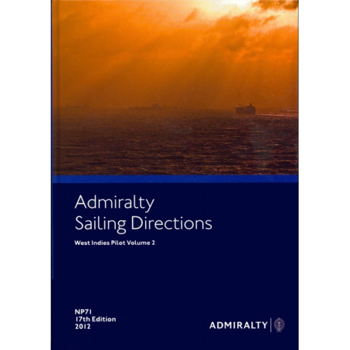




Plan safe voyages across the West Indies with this 2022 sailing guide. Covers Puerto Rico, Virgin Islands, and Lesser Antilles, offering vital port and coastal navigation insights for all ships.
Data sheet
Specific References
Navigate the Caribbean with Unmatched Precision
Sailing Directions: West Indies Vol. 2 is the definitive navigational reference for maritime professionals operating in the Caribbean’s most critical waterways. Designed to meet the demands of commercial shipping, this 19th edition (2022) provides exhaustive coverage of the Mona Passage, Puerto Rico, the Virgin Islands, and the Leeward and Windward Islands—regions where accurate, up-to-date information can mean the difference between seamless operations and costly delays. Weighing 1.9 kg, this hardcover publication is built to withstand the rigors of onboard use while delivering the reliability required by shipmasters, maritime pilots, and fleet managers.
Real-Time Data for High-Stakes Decision Making
What sets this volume apart is its commitment to continuous revision, ensuring that every chart, waypoint, and port entry procedure reflects the latest hydrographic surveys, regulatory changes, and navigational hazards. Covering latitudes from 11.75°N to 36°N and longitudes from -40°W to -70°W, it provides the granular detail needed for safe passage through narrow channels, congested harbors, and unpredictable weather patterns. The inclusion of digital compatibility (e-NP format) allows for seamless integration with electronic navigation systems, making it a versatile tool for modern bridge operations.
Engineered for Compliance and Efficiency
Beyond its technical depth, this publication is a cornerstone of maritime compliance. Aligned with SOLAS and IMO standards, it ensures that vessels adhere to international safety protocols while optimizing route planning. From tide tables to local pilotage requirements, every section is structured for quick reference, reducing the risk of human error in high-pressure scenarios. Whether navigating the bustling ports of Puerto Rico or the intricate passages of the Virgin Islands, this volume equips crews with the confidence to operate safely, efficiently, and in full regulatory compliance.
This 19th edition (2022) of Sailing Directions: West Indies Vol. 2 is a hardcover publication in English, weighing 1.9 kg. It covers the Caribbean region from the Mona Passage to Grenada, including Puerto Rico, the Virgin Islands, and the Leeward and Windward Islands, with continuous revisions to ensure accuracy. Compatible with both paper and digital (e-NP) formats, it spans latitudes 11.75°N to 36°N and longitudes -40°W to -70°W, providing essential data for commercial navigation.
For over two centuries, this hydrographic authority has set the global standard for maritime navigation publications. Renowned for its precision, reliability, and adherence to international safety protocols, its series of sailing directions are trusted by commercial fleets, maritime pilots, and regulatory bodies worldwide. Each edition undergoes rigorous updates to reflect real-time changes in waterways, ensuring compliance with SOLAS and IMO guidelines.
This volume covers the Mona Passage, Puerto Rico, the Virgin Islands, and the Leeward and Windward Islands from Anguilla to Grenada.
Yes, it is available in both paper and digital (e-NP) formats.
The publication undergoes continuous revision to ensure the information remains current and accurate.
The printed version weighs approximately 1.9 kg.
The paper version features a hardcover binding for durability.
Yes, it provides essential information for port entry and coastal navigation.
You might also like




























































![Admiralty - NP054 - Sailing directions: North Sea [West]](https://www.nautic-way.com/68595-home_default/admiralty-np054-sailing-directions-north-sea-west-maritime-bookshop-nautic-way.jpg)
![Admiralty - NP055 - Sailing directions: North Sea [East]](https://www.nautic-way.com/90871-home_default/admiralty-np055-sailing-directions-north-sea-east-maritime-bookshop-nautic-way.jpg)




































































































