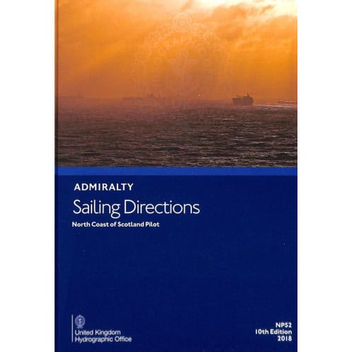




This essential guide covers Scotland’s northern coast, from Cape Wrath to Rattray Head, including Orkney and Shetland. Packed with critical navigation details for safe port entry and coastal sailing.
Data sheet
Specific References
Navigate Scotland’s Northern Waters with Confidence
The *Sailing Directions: North Coast of Scotland – NP052* is the definitive printed guide for mariners operating along one of the most challenging coastlines in Europe. Covering the region from Cape Wrath to Rattray Head—including the Orkney and Shetland Islands, as well as the Faroe Islands—this publication provides the detailed, location-specific intelligence needed to navigate safely and efficiently. Designed for professional use, it bridges the gap between raw chart data and real-world operational knowledge, offering insights that are critical for avoiding hazards, optimizing routes, and complying with local maritime regulations.
Precision-Backed Data for High-Stakes Environments
This guide is built on the latest hydrographic surveys and validated by a leading hydrographic authority, ensuring that every detail—from tidal patterns to recommended tracks—is accurate and up to date. The 11th edition (2022) reflects the most current navigational standards, making it a trusted resource for commercial vessels, fishing fleets, and offshore operators. With a focus on practical application, it includes essential information on port entries, anchorage zones, and local weather conditions, all presented in a clear, easy-to-reference format.
Engineered for Reliability in the Field
Unlike digital alternatives, this printed edition is designed to perform in the toughest marine environments. Its durable binding and high-quality paper resist moisture, wear, and tear, ensuring that critical information remains accessible even in adverse conditions. Weighing just 1.15 kg, it’s portable enough to keep on the bridge or in the chartroom, providing instant access to vital data without the need for power or connectivity. This makes it an indispensable backup resource, especially in remote areas where digital systems may fail.
Seamless Integration with Global Navigation Systems
The *Sailing Directions: North Coast of Scotland – NP052* is fully aligned with international maritime standards, ensuring consistency with electronic charting systems and other official publications. This synchronization reduces the risk of discrepancies during voyages, allowing mariners to cross-reference data with confidence. Whether used alongside ECDIS or as a standalone resource, it provides a layer of verification that enhances safety and operational efficiency.
This 11th edition (2022) of the *Sailing Directions: North Coast of Scotland – NP052* is a hardcover publication in English, weighing 1.15 kg. It provides comprehensive navigational guidance for the region from Cape Wrath to Rattray Head, including the Orkney and Shetland Islands, as well as the Faroe Islands, with coverage spanning latitudes 56.17°N to 63°N and longitudes 4°W to 1.73°E.
With a legacy spanning over two centuries, this hydrographic authority is recognized globally for its precision, reliability, and commitment to maritime safety. Its publications are trusted by navies, commercial fleets, and maritime professionals worldwide, setting the standard for navigational accuracy and operational excellence in some of the world’s most demanding waters.
The guide covers the north coast of Scotland from Cape Wrath to Rattray Head, including the Orkney Islands, Shetland Islands, and the Faroe Islands.
Yes, it provides critical navigation information applicable to all types of ships.
The printed version weighs 1.15 kg.
The latest edition was published in 2022, marking the 11th edition.
The 2022 edition includes the most recent navigational data and coastal information available at the time of publication.
The guide is written in English.
Yes, it provides detailed information for safe port entry and coastal navigation.
You might also like


























































![Admiralty - NP054 - Sailing directions: North Sea [West]](https://www.nautic-way.com/68595-home_default/admiralty-np054-sailing-directions-north-sea-west-maritime-bookshop-nautic-way.jpg)
![Admiralty - NP055 - Sailing directions: North Sea [East]](https://www.nautic-way.com/90871-home_default/admiralty-np055-sailing-directions-north-sea-east-maritime-bookshop-nautic-way.jpg)





































































































