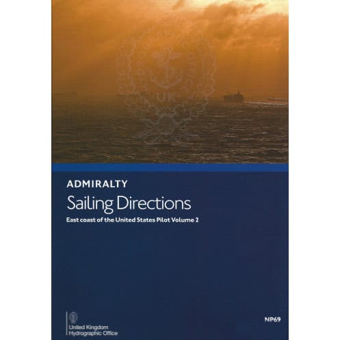




This essential guide covers the U.S. East Coast from Barnegat Inlet to Cape Canaveral, detailing hazards, buoys, and port facilities for safe navigation and efficient voyages.
Data sheet
Specific References
Precision Navigation for the U.S. East Coast—From Barnegat Inlet to Cape Canaveral
Navigate the complexities of the U.S. East Coast with confidence using this essential maritime guide. Covering a critical stretch of coastline, this publication equips mariners with the intelligence needed to safely maneuver through high-traffic shipping lanes, shallow waters, and dynamic weather conditions. Whether entering port or transiting coastal routes, this volume ensures compliance with maritime regulations while optimizing passage efficiency.
Trusted Data for Commercial and Naval Operations
Developed for professional mariners, this guide delivers verified information on navigational hazards, buoyage systems, and pilotage requirements. It includes detailed descriptions of port infrastructure, seasonal currents, ice formation, and climatic conditions—all presented in a clear, structured format. High-quality diagrams and photographs provide visual confirmation of key landmarks, enhancing situational awareness and reducing operational risks.
Built for Durability and Reliability in Marine Environments
Printed on lightweight, watermarked chart paper, this publication is designed to withstand the rigors of onboard use. Its 1.9 kg weight ensures portability without compromising durability, making it a practical resource for bridge teams, maritime training programs, and port authorities. As part of a globally recognized series of 76 volumes, it upholds the highest standards of accuracy and reliability.
Comprehensive Coverage for Regulatory Compliance
This guide is an indispensable tool for vessels operating under international maritime regulations. It provides the latest updates on local rules, port entry procedures, and environmental considerations, ensuring full compliance while minimizing delays. With coverage spanning latitudes 40.5°N to 28.47°N and longitudes 83°W to 67.58°W, it offers unparalleled detail for safe and efficient navigation.
This 15th edition (2021) nautical publication provides authoritative sailing directions for the U.S. East Coast, covering Barnegat Inlet to Cape Canaveral. Printed in English on durable, watermarked chart paper, it weighs 1.9 kg and is part of a 76-volume global series. The guide includes precise coordinates (latitudes 40.5°N to 28.47°N, longitudes 83°W to 67.58°W) and is available in both print and digital (e-NP) formats.
For over two centuries, this hydrographic office has set the standard for maritime navigation publications. Its global series of sailing directions, recognized by commercial fleets and naval forces worldwide, delivers unmatched accuracy and reliability. Each volume undergoes rigorous verification to ensure compliance with international maritime regulations, making it a trusted resource for safe and efficient navigation.
This volume covers the East Coast of the United States from Barnegat Inlet to Cape Canaveral, including detailed navigation information for these regions.
Yes, the publication includes information on seasonal currents and ice conditions to assist with safe navigation planning.
The printed version uses light chart paper, watermarked by the United Kingdom Hydrographic Office (UKHO).
Yes, in addition to the paper version, it is also available as an e-NP (digital format).
The coverage spans latitudes from 28.47°N to 40.5°N and longitudes from 83°W to 67.58°W.
New editions are typically released periodically to ensure up-to-date navigation information, with the latest being the 15th edition published in 2021.
Yes, it provides detailed information on port facilities, including services and regulations for safe entry and navigation.
You might also like




























































![Admiralty - NP054 - Sailing directions: North Sea [West]](https://www.nautic-way.com/68595-home_default/admiralty-np054-sailing-directions-north-sea-west-maritime-bookshop-nautic-way.jpg)
![Admiralty - NP055 - Sailing directions: North Sea [East]](https://www.nautic-way.com/90871-home_default/admiralty-np055-sailing-directions-north-sea-east-maritime-bookshop-nautic-way.jpg)