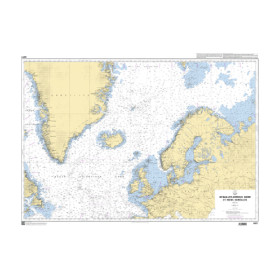
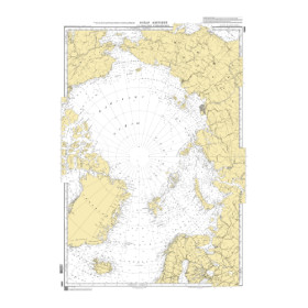
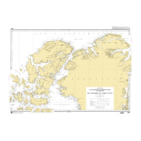
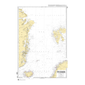
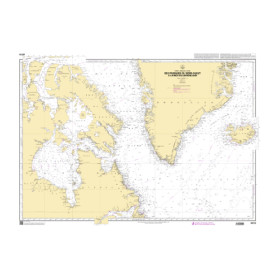
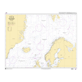
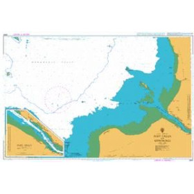
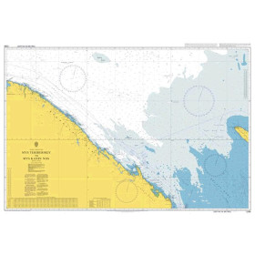
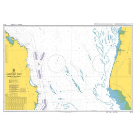
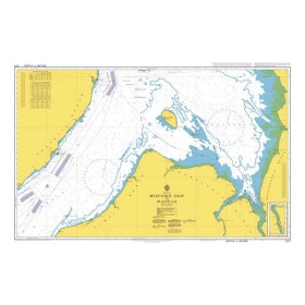
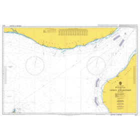
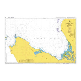
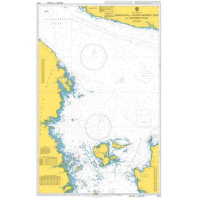
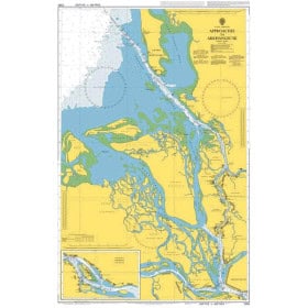
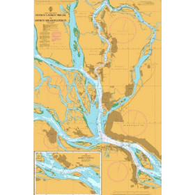
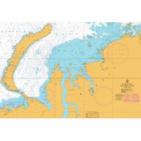
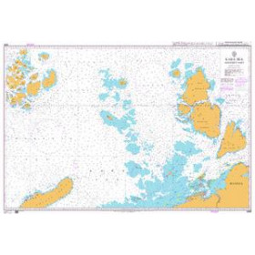
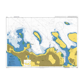
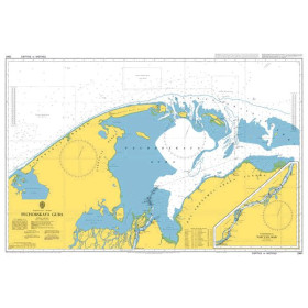
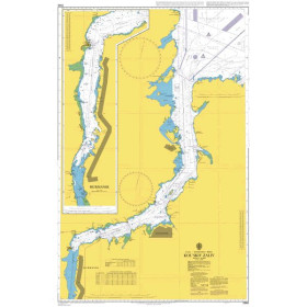
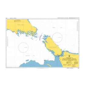
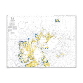
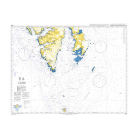
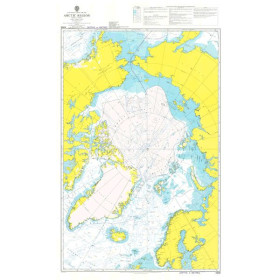
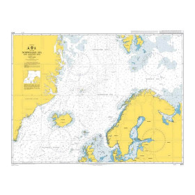
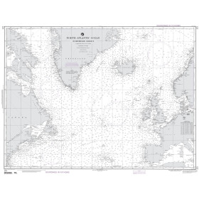
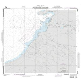
Nautical chart for the Arctic Ocean
Are you looking for a paper nautical chart of the Arctic Ocean to plan a voyage in the polar regions of the Far North? This selection covers the main maritime areas of the Arctic, including the Barents Sea, Kara Sea, Laptev Sea, East Siberian Sea, Chukchi Sea and Beaufort Sea. Explore the approaches to the ports of Tromsø, Kirkenes, Longyearbyen, Nuuk, Reykjavik and Nome, as well as the routes of the Northeast Passage and Northwest Passage. Admiralty charts provide international coverage of many Arctic areas, complemented by official charts from the hydrographic services of Canada, Norway, Denmark and the United States. Imray charts can also complement nautical documentation for certain northern destinations. Whether you are planning an expedition to Svalbard, sailing around Greenland, crossing the Northwest Passage or following an Arctic route, choose a paper nautical chart suited to your sailing area, itinerary and required scale.

 Click here to open our interactive map and select your charts