NOAA National Oceanic and Atmospheric Administration
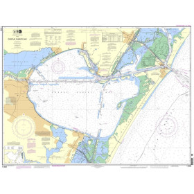
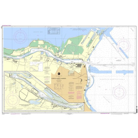
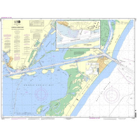
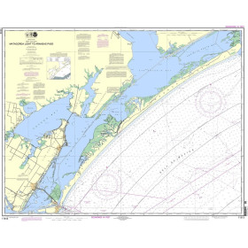
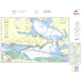
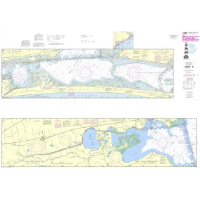
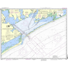
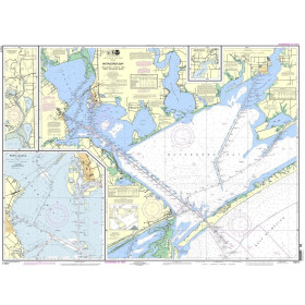
NOAA nautical charts, produced by the Office of Coast Survey since 1807, cover U.S. coastal waters exclusively, with a comprehensive catalogue of charts divided into coastal, nearshore, offshore and oceanic coverage, including the Great Lakes, the Gulf of Mexico and the Caribbean Sea. One crucial point: NOAA announced the complete discontinuation of traditional paper chart production as of January 1, 2025. To ensure continuity, Nautic Way offers printed charts based on ENC (Electronic Navigational Chart) data, updated in near real time and now displaying depths in metres rather than fathoms, ensuring perfect consistency with GPS systems.
Paper nautical chart by publisher (1015 products)

 Click here to open our interactive map and select your charts
Vue carte
Vue liste
1015 produits correspondent à vos critères.
Effacer
Vue carte
Vue liste
1015 produits correspondent à vos critères.