I am sailing in the Caribbean
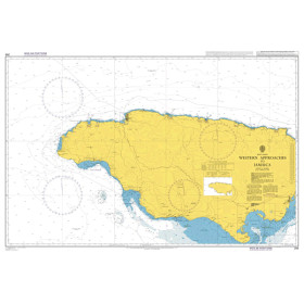
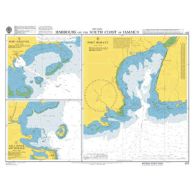
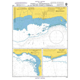
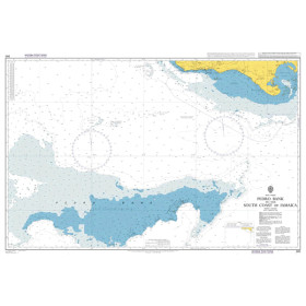
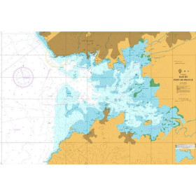
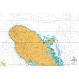
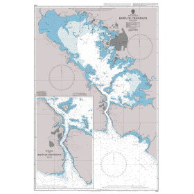
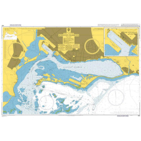
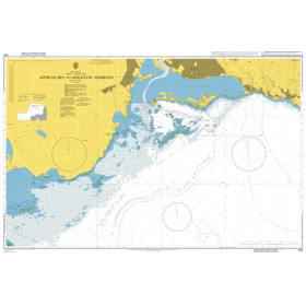
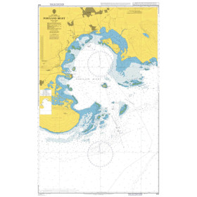
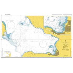
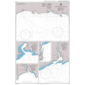
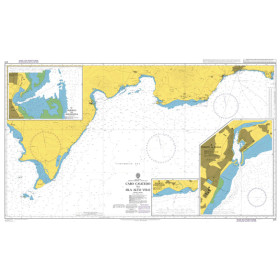
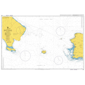
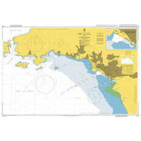
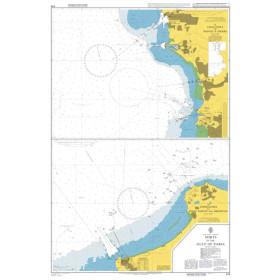
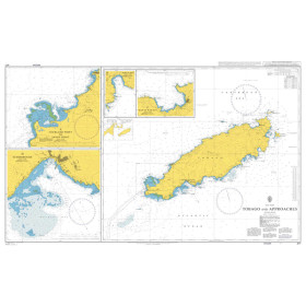
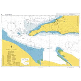
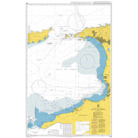
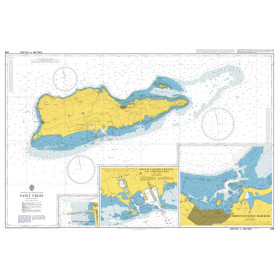
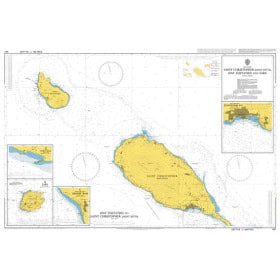
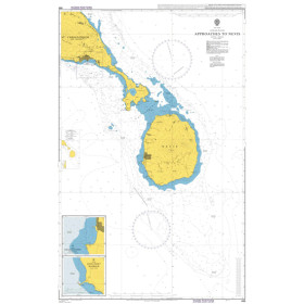
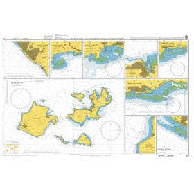
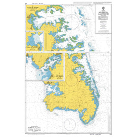
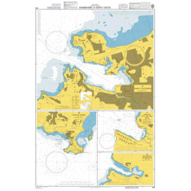
The category “I navigate in the Caribbean” brings together nautical charts, cruising guides and essential documents for planning navigation in the Caribbean Sea and tropical Atlantic Ocean. It covers the French West Indies, the Greater and Lesser Antilles, from Cuba and Puerto Rico to the Grenadines, including Guadeloupe, Martinique, Saint Martin, Saint Barthélemy, Saint Lucia, Dominica, Antigua, Barbados and the Virgin Islands. Find nautical charts covering Pointe-à-Pitre, Fort-de-France, Le Marin, Gustavia, Marigot, Roseau, Castries, Bridgetown, Saint George’s and Port of Spain, as well as approaches to the main ports, marinas and anchorages. Whether you are planning a Caribbean cruise, a transatlantic passage or inter-island sailing, Nautic Way offers charts and guides from publishers and brands including SHOM, Admiralty, Imray, Navionics and C-MAP. These documents provide detailed information on depths, reefs, shoals, channels, buoyage, anchorages, ports, currents and navigational hazards for planning your Caribbean sailing route.

 Click here to open our interactive map and select your charts