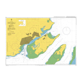
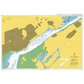
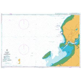
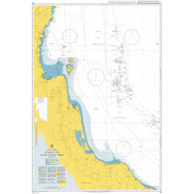
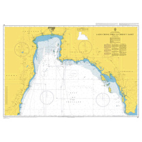
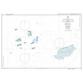
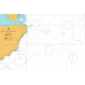
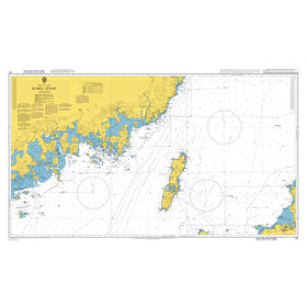
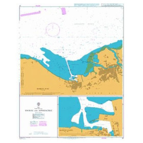
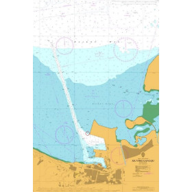
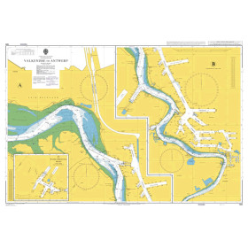
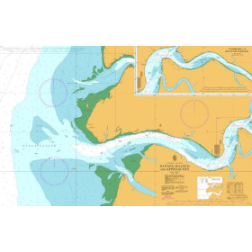
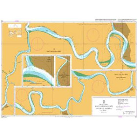
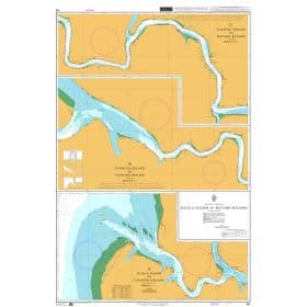
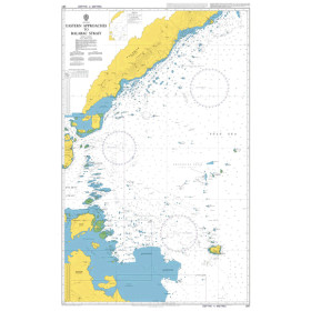
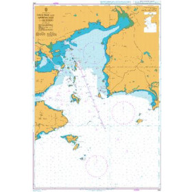
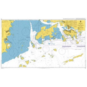
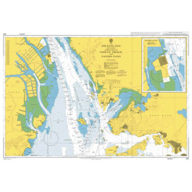
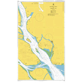
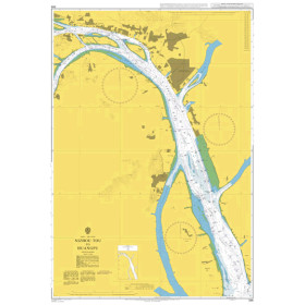
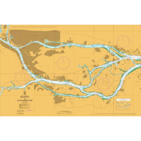
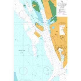
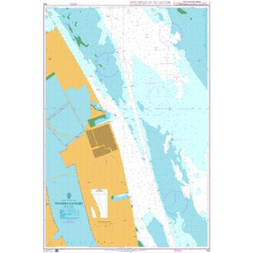
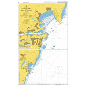
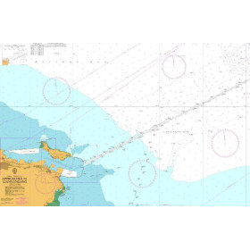
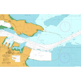
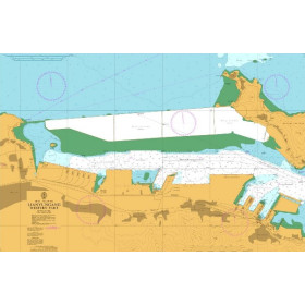
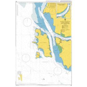
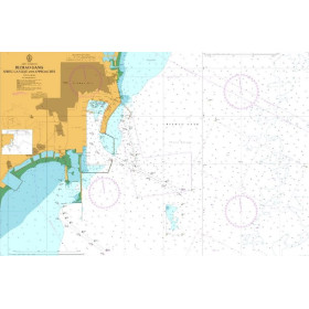
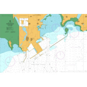
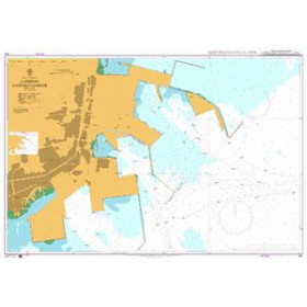
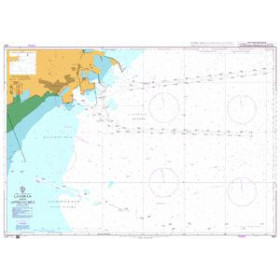
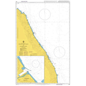
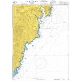
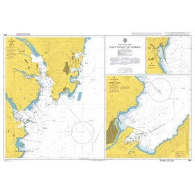
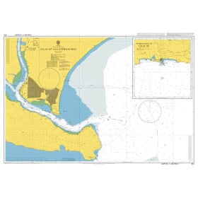
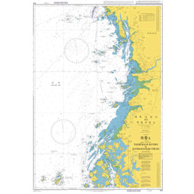
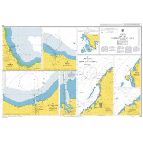
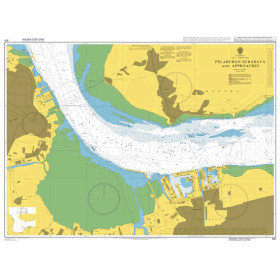
Admiralty nautical chart Philippine, Celebes, Java, Banda, Japan, Yellow and China seas, Gulf of Thailand
The Admiralty nautical chart covering the Philippine, Celebes, Java, Banda, Japan, Yellow and China Seas and the Gulf of Thailand is designed for planning offshore and coastal navigation and major shipping routes across Asia. Published by the United Kingdom Hydrographic Office (UKHO), Admiralty charting provides an overview of the main archipelagos, coastlines, straits, ports, shipping routes and maritime areas across this vast region. It is particularly suited to planning a voyage between Japan, China, the Philippines, Indonesia, Malaysia, Thailand or Vietnam, as well as circumnavigation projects in Asia. An Admiralty nautical chart makes it possible to study the main stages of an itinerary before selecting the larger-scale charts required for coastal navigation and harbour approaches. It complements nautical publications and electronic navigation systems and is suitable for professional mariners, offshore recreational sailors, circumnavigators, delivery crews and navigation schools.

 Click here to open our interactive map and select your charts