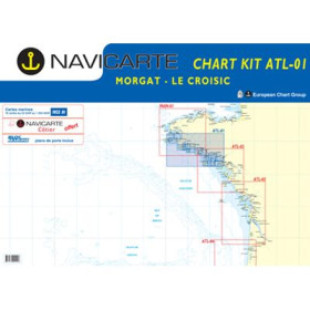
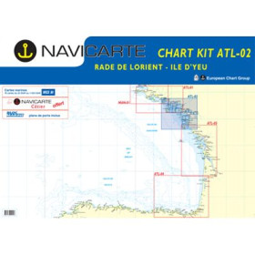
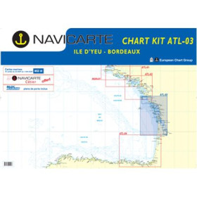
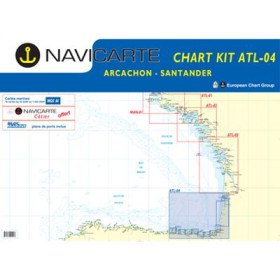
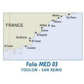
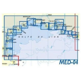
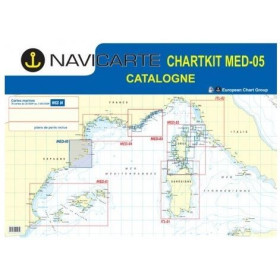
Navicarte nautical chart (folio)
The Navicarte folio nautical chart is designed for sailors looking for extensive chart coverage and precise reading of coastal areas. Presented as a folio combining several nautical charts at different scales, it allows sailors to plan coastal navigation, a cruise or a route with a consistent overview of the entire area. Navicarte folio charts are based on official hydrographic data and provide essential navigation information, including soundings, bathymetry, buoyage, channels, hazards, ports, anchorages and coastal landmarks. Their clear graphic layout facilitates route planning and reading at the chart table. Depending on the sailing area, a Navicarte folio chart can cover several complementary sectors, avoiding the need to purchase multiple individual charts. It is therefore a practical solution for recreational sailors, coastal navigators, fishermen and sailing schools looking for reliable paper charts specifically suited to recreational navigation.

 Click here to open our interactive map and select your charts