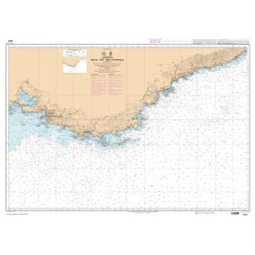
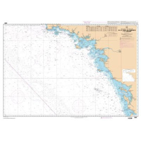
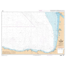
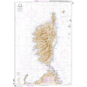
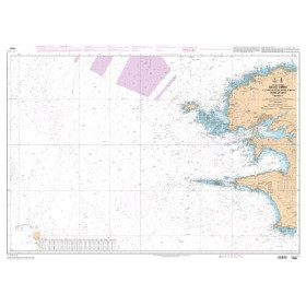
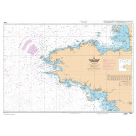
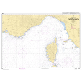
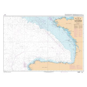
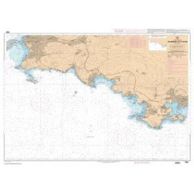
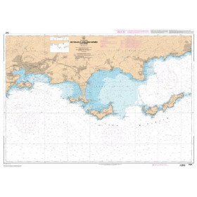
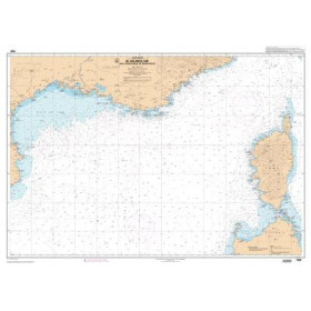
Shom Z nautical chart - exercise area chart
The SHOM Z nautical chart is a paper chart dedicated to maritime exercise and training areas. It allows users to identify and visualize areas used for certain naval, military or training activities at sea, particularly along the French Channel, Atlantic and Mediterranean coasts. Depending on the area covered, it may be useful to sailors navigating offshore from Brest, Lorient, Cherbourg, Toulon, Marseille or Ajaccio, as well as in the Iroise Sea, the English Channel, the Bay of Biscay or the western Mediterranean. A SHOM Z chart can complement standard navigation charts when planning a route, understanding local restrictions and identifying areas subject to specific maritime activities. Published by SHOM, these specialized charts are part of French nautical cartography and can be used alongside Admiralty, Imray or NV Charts paper charts when they cover the same sailing areas.

 Click here to open our interactive map and select your charts